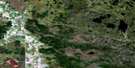
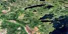
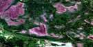
Sioux Narrows Satellite Image Map
Download Free Aerial Photo 052E08 at 1:50,000 scale
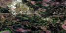
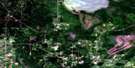
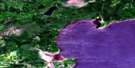
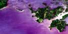
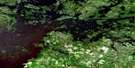
Sioux Narrows Satellite Imagery
To view this satellite map, mouse over the air photo on the right.
You can also download this satellite image map for free:
052E08 Sioux Narrows high-resolution satellite image map.
Maps for the Sioux Narrows aerial map sheet 052E08 at 1:50,000 scale are also available in these versions:
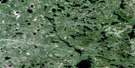
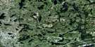
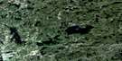
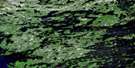
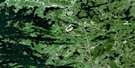
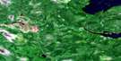
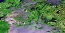
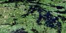
Sioux Narrows Surrounding Area Aerial Photo Maps
 |
 |
 |
 |
 |
 |
 |
 |
 |
 |
 |
 |
 |
 |
 |
 |
© Department of Natural Resources Canada. All rights reserved.
Sioux Narrows Gazetteer
The following places can be found on satellite image map 052E08 Sioux Narrows:
Sioux Narrows Satellite Image: Bays
Blueberry InletBoot Bay
Brûlé Bay
Camp Bay
Clipper Bay
Cloverleaf Bay
Cross Inlet
Devils Bay
Ghost Bay
Knickerbocker Inlet
Lobstick Bay
Log Bay
Long Bay
Louis Inlet
Miles Bay
Mist Inlet
Reedy Bay
Regina Bay
Sammons Bay
Snake Bay
Whitefish Bay
Willow Bay
Yellow Girl Bay
Sioux Narrows Satellite Image: Capes
Aulneau PeninsulaCat Point
Ells Peninsula
Hayter Peninsula
Paddle Point
Rendezvous Point
Return Point
Sioux Point
Turtle Point
Victoria Point
White Point
Sioux Narrows Satellite Image: Channels
Barney NarrowsDeadbroke Channel
Fire Island Narrows
Moskahossi Passage
Reed Narrows
Sioux Narrows
Sunset Channel
The Narrows
Whitefish Narrows
Sioux Narrows Satellite Image: Geographical areas
DevonshireMacQuarrie
McGeorge
Phillips
Tweedsmuir
Willingdon
Sioux Narrows Satellite Image: Indian Reserves
Naongashing 31ANaongashing 35A
Naongashing Indian Reserve 31A
Naongashing Indian Reserve 35A
Obabikong 35B
Obabikong Indian Reserve 35B
Réserve indienne Naongashing 31A
Réserve indienne Naongashing 35A
Réserve indienne Obabikong 35B
Réserve indienne Whitefish Bay 32A
Réserve indienne Whitefish Bay 34A
Réserve indienne Yellow Girl Bay 32B
Whitefish Bay Indian Reserve 32A
Whitefish Bay Indian Reserve 34A
Yellow Girl Bay Indian Reserve 32B
Sioux Narrows Satellite Image: Islands
Annie IslandBeacon Island
Bell Island
Calvert Island
Channel Island
Chisholm Island
Cliff Island
Dinner Island
Dog Island
East Pointer Island
Ethel Island
Fergus Island
Fire Island
Highrock Island
Hilowjack Island
Horseshoe Island
Index Island
Kenland Island
Long Point Island
Martin Island
May Island
Okie Island
Patsy Island
Quartz Island
Russell Island
Smith Island
Smokehouse Island
Steamboat Island
Three Sisters Islands
Timber Island
Twin Islands
West Pointer Island
Sioux Narrows Satellite Image: Lakes
Arrow LakeBarras Lake
Bunny Lake
Carstens Lake
Chappie Lake
Cranberry Lake
Cuss Lake
Dominion Lake
Dora Lake
Dumbbell Lake
Dumbell Lake
Gale Lake
Ginger Lake
Gourd Lake
Hammerhetas Lake
Lac des Bois
Lake of the Bays
Lake of the Woods
Markell Lake
Martins Lake
Mooseview Lake
Mud Lake
Obabikon Lake
Old Women Lake
Otakus Lake
Pin Lake
Query Lake
Seymore Lake
Touts Lake
Victor Lake
Wake Lake
Yukon Lake
Sioux Narrows Satellite Image: Other municipal/district area - miscellaneous
Lake of the WoodsMcCrosson and Tovell
McGeorge & Willingdon
Morson
Sioux Narrows
Sioux Narrows Nestor Falls
Sioux Narrows-Nestor Falls
Sioux Narrows Satellite Image: Conservation areas
Aulneau Interior Conservation ReservePainted Rock Conservation Reserve
Sioux Narrows Provincial Park
Sioux Narrows Satellite Image: Rivers
Barras CreekBerry Creek
Berry River
Black River
Gale Creek
Thompson Creek
Wake Creek
Sioux Narrows Satellite Image: Road features
Coral PortageSioux Narrows Satellite Image: Unincorporated areas
Sioux Narrows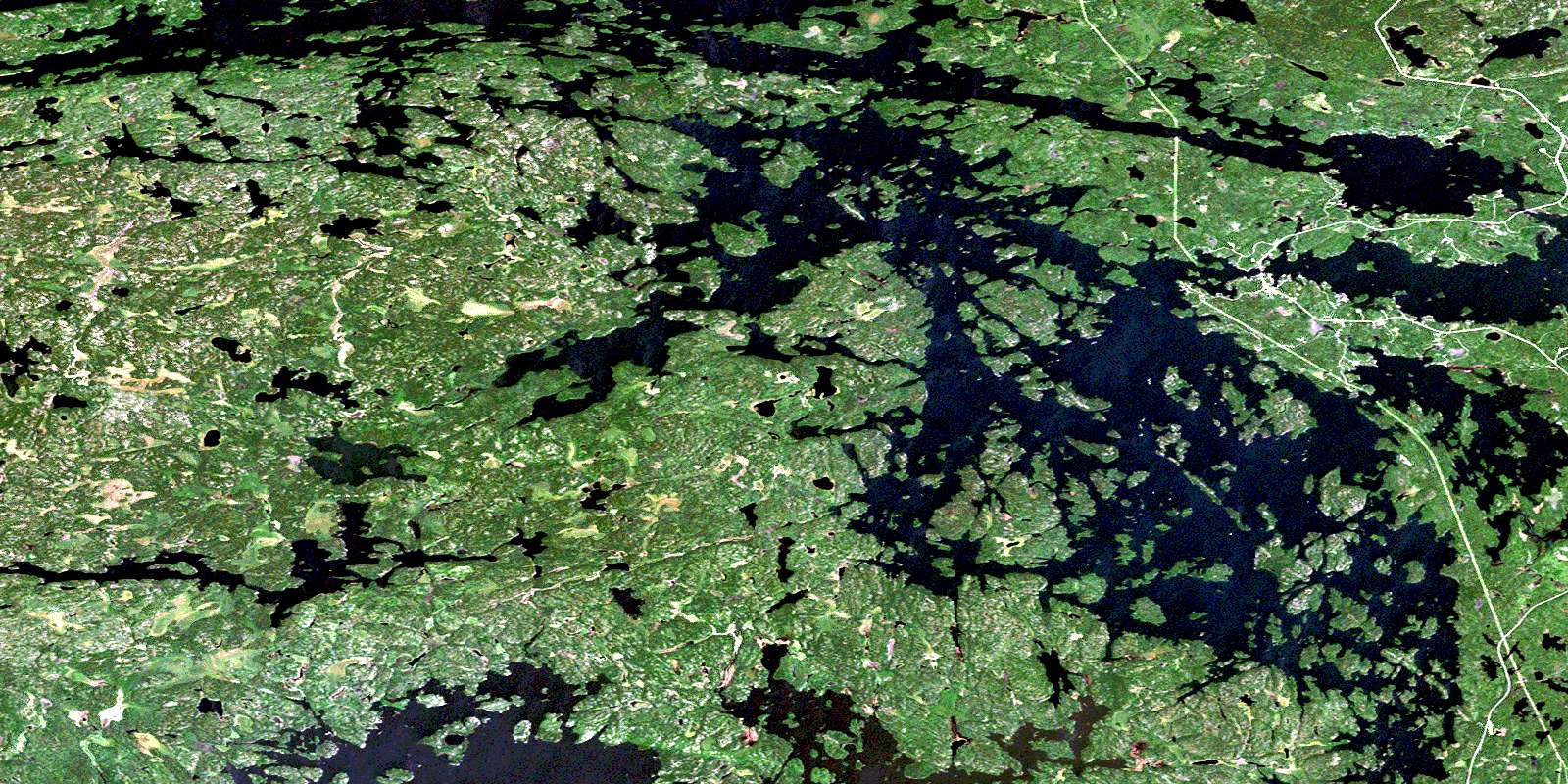
© Department of Natural Resources Canada. All rights reserved.
052E Related Maps:
052E Kenora052E01 Morson
052E02 Big Island
052E03 Buffalo Bay
052E04 Sprague
052E05 Whitemouth River
052E06 Berry Point
052E07 Falcon Island
052E08 Sioux Narrows
052E09 Longbow Lake
052E10 Clearwater Bay
052E11 Falcon Lake
052E12 Mcmunn
052E13 Whitemouth
052E14 Caddy Lake
052E15 Keewatin
052E16 Kenora
