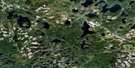
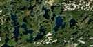
White Otter Lake Satellite Image Map
Download Free Aerial Photo 052G04 at 1:50,000 scale
White Otter Lake Satellite Imagery
To view this satellite map, mouse over the air photo on the right.
You can also download this satellite image map for free:
052G04 White Otter Lake high-resolution satellite image map.
Maps for the White Otter Lake aerial map sheet 052G04 at 1:50,000 scale are also available in these versions:
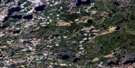
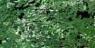
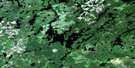
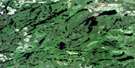
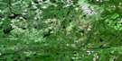
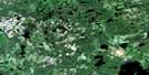
White Otter Lake Surrounding Area Aerial Photo Maps
 |
 |
 |
 |
 |
 |
 |
 |
 |
 |
 |
 |
 |
 |
 |
 |
© Department of Natural Resources Canada. All rights reserved.
White Otter Lake Gazetteer
The following places can be found on satellite image map 052G04 White Otter Lake:
White Otter Lake Satellite Image: Bays
Ann BayCamp Bay
Garbage Bay
Irene Bay
Lost Bay
McOuat Bay
Pike Bay
Sucker Bay
Walleye Bay
White Otter Lake Satellite Image: Channels
Jackfish NarrowsWhite Otter Lake Satellite Image: Geographical areas
Rainy RiverWhite Otter Lake Satellite Image: Islands
Big IslandEddie's Island
Graveyard Island
Gull Island
Mallard Island
Myers Islands
White Otter Lake Satellite Image: Lakes
Barr LakeBelow Bow Lake
Bentarm Lake
Big Island Lake
Bow Lake
Campus Lake
Clearwater West Lake
Cole Lake
Crowrock Lake
Dibble Lake
Dimple Lake
Doan Lake
East Campus Lake
Elsie Lake
Emery Lake
Fish Lake
Gamble Lake
Halfmoon Lake
Hawknest Lake
Herb Lake
Heuston Lake
Highland Lake
Hoolighan Lake
Hoolihan Lake
Irene Lake
Jac Saga Lake
Jackfish Lake
Johnson Lake
Kingfish Lake
Lac La Mere
Lautons Lake
Little Gull Lake
Little Irene Lake
Little Mabel Lake
Little Sandford Lake
Lower Moosehide Lake
Mabel Lake
Mae Lake
Moosehide Lake
Nora Lake
Owl Lake
Patricia Lake
Potts Lake
Rollingstone Lake
Sandford Lake
Serpent Lake
South Gull Lake
Upper Doan Lake
Upper Moosehide Lake
Walt Lake
Wasp Lake
White Otter Lake
White Otter Lake Satellite Image: Conservation areas
Campus Lake Conservation ReserveTurtle River Provincial Park
Turtle River-White Otter Lake Provincial Park
White Otter Lake Wilderness Area
White Otter Lake Satellite Image: Rivers
Balmoral RiverCampus Creek
East Campus Creek
Emery Creek
Gamble River
Highland Creek
Little Turtle River
Nora Creek
Owl Creek
White Otter Lake Satellite Image: Road features
Ann Bay PortageClearwater Portage
Hawknest Portage
Heuston Portage
Irene Portage
Nora Portage
Wasp Lake Portage
White Otter Lake Satellite Image: Shoals
Froggie's Rock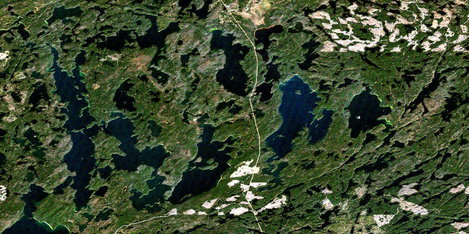
© Department of Natural Resources Canada. All rights reserved.
052G Related Maps:
052G Ignace052G01 Upsala
052G02 Firesteel River
052G03 Gulliver Lake
052G04 White Otter Lake
052G05 Ignace
052G06 Bonheur
052G07 Petry River
052G08 Pakashkan Lake
052G09 Empire Lake
052G10 Shikag Lake
052G11 Mattabi
052G12 Mameigwess Lake
052G13 Yonde
052G14 Valora
052G15 Glitter Lake
052G16 Harmon Lake
