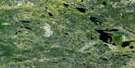
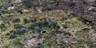
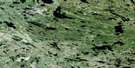
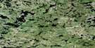
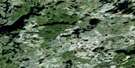
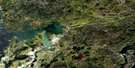
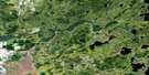
Flintstone Lake Satellite Image Map
Download Free Aerial Photo 052L11 at 1:50,000 scale
Flintstone Lake Satellite Imagery
To view this satellite map, mouse over the air photo on the right.
You can also download this satellite image map for free:
052L11 Flintstone Lake high-resolution satellite image map.
Maps for the Flintstone Lake aerial map sheet 052L11 at 1:50,000 scale are also available in these versions:
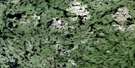
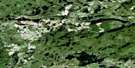
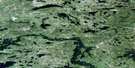
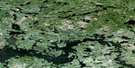
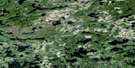
Flintstone Lake Surrounding Area Aerial Photo Maps
 |
 |
 |
 |
 |
 |
 |
 |
 |
 |
 |
 |
 |
 |
 |
 |
© Department of Natural Resources Canada. All rights reserved.
Flintstone Lake Gazetteer
The following places can be found on satellite image map 052L11 Flintstone Lake:
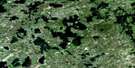
Flintstone Lake Satellite Image: Lakes
Alga LakeAnderson Lake
Anderson Lake
Banksian Lake
Bee Lake
Black Lake
Boulton Lake
Bud Lake
Burton Lake
Buss Lake
Cat Lake
Chiroptera Lake
Cole Lake
Coyote Lake
Day Lake
Elbow Lake
Elton Lake
Euclid Lake
Finger Lake
Flintstone Lake
Gayner Lake
Gem Lake
Grey Wolf Lake
Grierson Lake
Grozik Lake
Heaman Lake
Hollinsworth Lake
Hutch Lake
Johnston Lake
Kickley Lake
Kickley Lake
Kinsley Lake
Kippen Lake
Kowalchuk Lake
Lake Bon
Lapin Lake
Lavallee Lake
Lily Lake
Lincoln Lake
Little Flintstone Lake
Lost Claim Lake
Lundmark Lake
MacDougall Lake
Marten Lake
McGregor Lake
McMurachy Lake
McRae Lake
McRae Lake
Metcalf Lake
Michalski Lake
Mink Lake
Narraway Lake
Ninety Lake
Ninety Lake
Normandy Lake
Octopus Lake
Odd Lake
Odd Lake
Purper Lake
Rathall Lake
Reahil Lake
Red Fox Lake
Rickaby Lake
Rumble Lake
Sausage Lake
Seagrim Lake
Shoe Lake
Slate Lake
Slywchuk Lake
Smoky Lake
Snowshoe Lake
Snowshoe Lake
Springer Lake
Stamm Lake
Terminal Lake
Tooth Lake
Trident Lake
Turk Lake
Turriff Lake
Westergaard Lake
Wilson Lake
Wingiskus Lake
Woollard Lake
Wrathall Lake
Wylie Lake
Flintstone Lake Satellite Image: Military areas
Champ de manoeuvre Snowshoe LakeSnowshoe Lake Training Area
Flintstone Lake Satellite Image: Conservation areas
Eagle-Snowshoe Conservation ReserveNopiming Provincial Park
Flintstone Lake Satellite Image: Provinces
ManitobaFlintstone Lake Satellite Image: Rivers
Bird RiverBird River
Cat Creek
Irregular River
Manigotagan River
Manigotagan River
Moose River
Moose River
Oiseau River
Oiseau River
Peterson Creek
Rabbit River
Rickaby Creek
Trident Creek
Flintstone Lake Satellite Image: Unincorporated areas
Slate Lake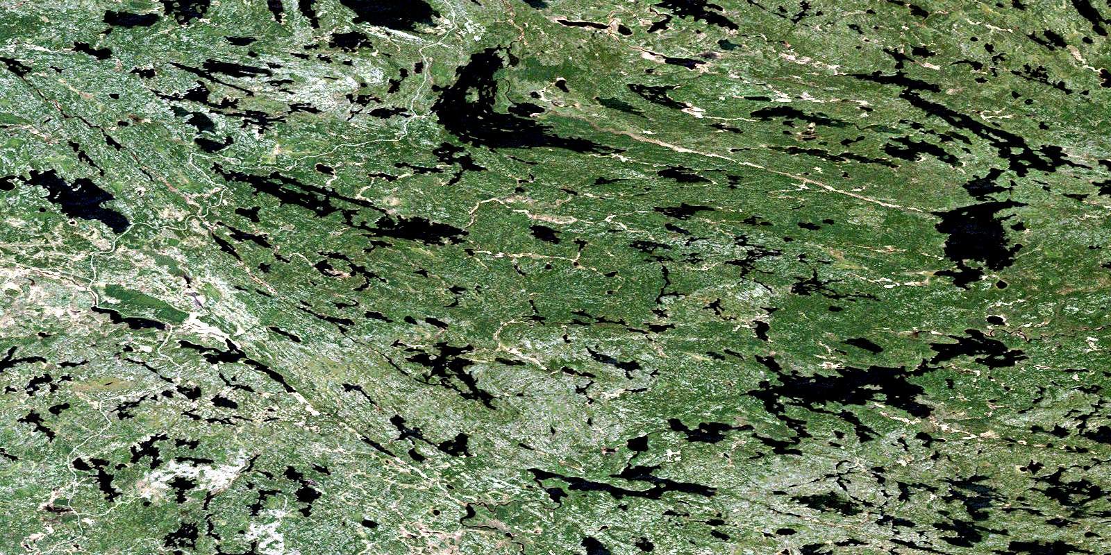
© Department of Natural Resources Canada. All rights reserved.
052L Related Maps:
052L Pointe Du Bois052L01 Lount Lake
052L02 Whitedog Lake
052L03 Crowduck Lake
052L04 Pinawa
052L05 Pointe Du Bois
052L06 Ryerson Lake
052L07 Umfreville Lake
052L08 Lennan Lake
052L09 Sydney Lake
052L10 Dowswell Lake
052L11 Flintstone Lake
052L12 Maskwa Lake
052L13 Manigotagan Lake
052L14 Garner Lake
052L15 Rostoul Lake
052L16 Medicine Stone Lake
