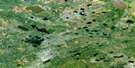
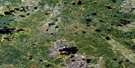
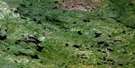
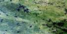
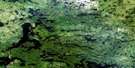
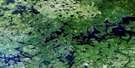
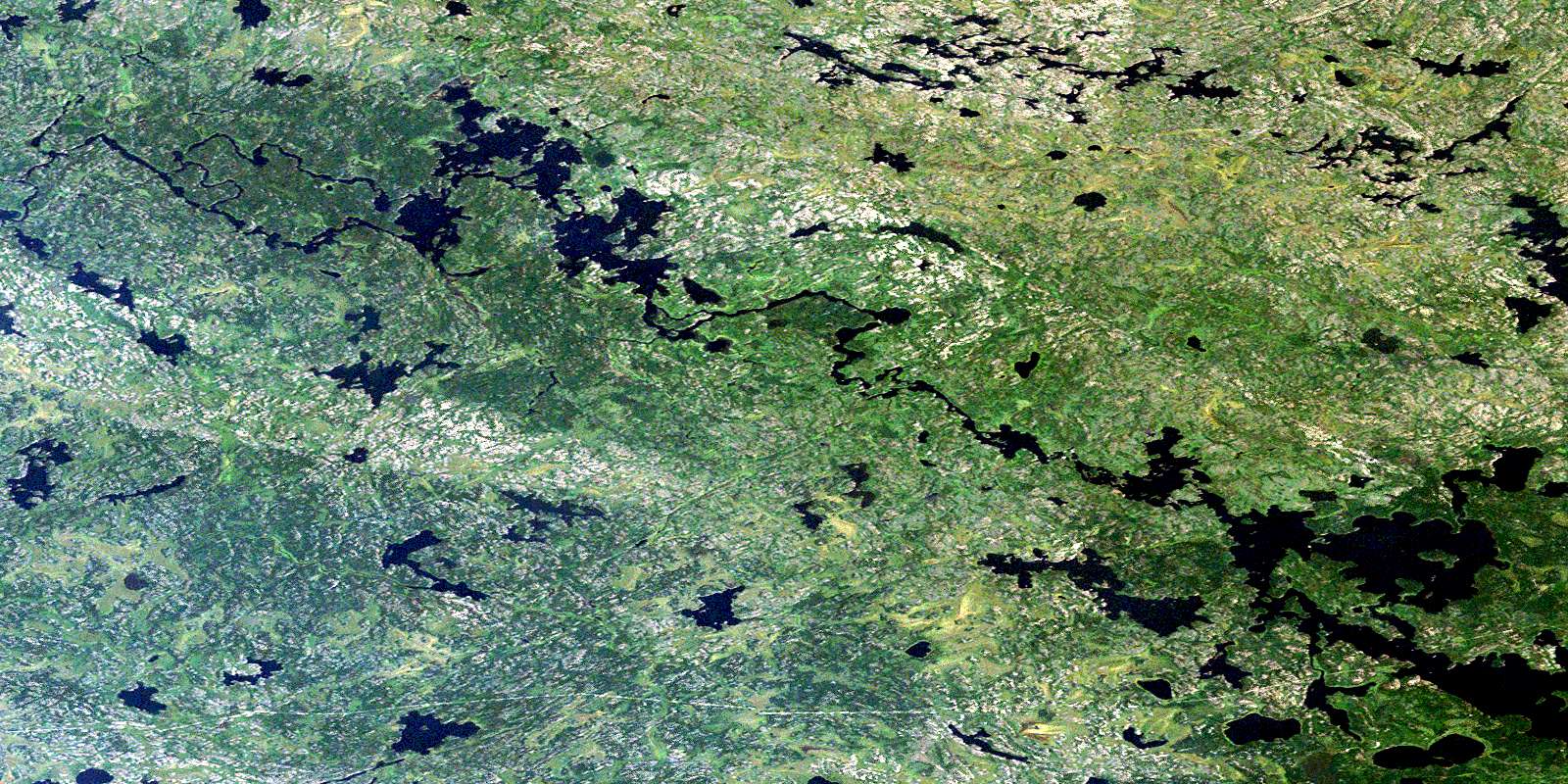
Horseshoe Lake Satellite Image Map
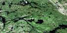
Download Free Aerial Photo 053D04 at 1:50,000 scale
Horseshoe Lake Satellite Imagery
To view this satellite map, mouse over the air photo on the right.
You can also download this satellite image map for free:
053D04 Horseshoe Lake high-resolution satellite image map.
Maps for the Horseshoe Lake aerial map sheet 053D04 at 1:50,000 scale are also available in these versions:
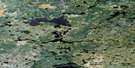
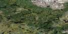
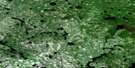
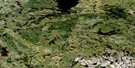
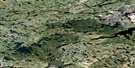
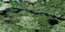
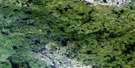
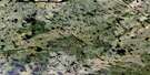
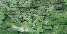
Horseshoe Lake Surrounding Area Aerial Photo Maps
 |
 |
 |
 |
 |
 |
 |
 |
 |
 |
 |
 |
 |
 |
 |
 |
© Department of Natural Resources Canada. All rights reserved.
Horseshoe Lake Gazetteer
The following places can be found on satellite image map 053D04 Horseshoe Lake:
Horseshoe Lake Satellite Image: Bays
Kapeecheetawekamak BayManitoupukatawagan Bay
Sandy Bay
Horseshoe Lake Satellite Image: Capes
Meenaeeki PointHorseshoe Lake Satellite Image: Falls
Atwayni FallsBig Moose Falls
Crane Falls
Flour Falls
Little Moose Falls
Whiteman Falls
Horseshoe Lake Satellite Image: Islands
Atikamis IslandKechimenis Island
Kitchi Island
Horseshoe Lake Satellite Image: Lakes
Allan Johnston LakeBuckdeer Lake
Button Lake
Family Lake
Grandmother Lake
Horseshoe Lake
Kamanomeeneekak Lake
Kanamaypenekaki Lake
Kanapaniskatakawakamak Lakes
Kasakeekopagi Lake
Kitchi Lakes
Kokookuhoo Lake
Makwanegunink Lake
Makwapeekeeneegun Lakes
Mangogak Lake
Meekeeseepanink Lake
Nacheesatagun Lake
Night Owl Lake
Ocheechak Lake
Ogasi Lake
Oldfort Lake
Oskayheesink Lake
Panagoskikowi Lake
Scarff Lake
Seekeepeesi Lake
Tortue Lake
Wachesk Lake
Weemeeteegosi Lake
Winship Lake
Horseshoe Lake Satellite Image: Rapids
Manitou RapidsNight Owl Rapids
Ogasi Rapids
Pukwasikun Rapids
Horseshoe Lake Satellite Image: Rivers
Berens RiverEtomami River
Flour Channel
Goose Creek
Kanamaypenekaki Creek
Kanapaniskatakawakamaki Creek
Kaokapeeseewonk Creek
Kasaseepakaneekeesink Creek
Makwanegunink Creek
Moose Creek
Ocheechak Creek
Pakayakamak River
Weemeeteegosi Creek
© Department of Natural Resources Canada. All rights reserved.
053D Related Maps:
053D Deer Lake053D01 Old Shoes Lake
053D02 Stout Lake
053D03 Little Grand Rapids
053D04 Horseshoe Lake
053D05 Carr-Harris Lake
053D06 Red Willow Lake
053D07 Namiwan Lake
053D08 Apps Lake
053D09 Mcintosh Bay
053D10 Cherrington Lake
053D11 Kagipo Lake
053D12 Lewis Lake
053D13 Gilchrist Lake
053D14 Acheetamo Lake
053D15 Cobham Lake
053D16 Borland Lake
