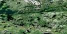
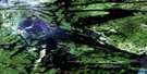
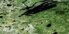
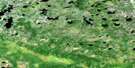
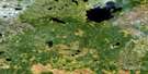
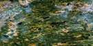
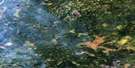
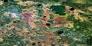
Kakinokamak Lake Satellite Image Map
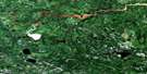
Download Free Aerial Photo 053E13 at 1:50,000 scale
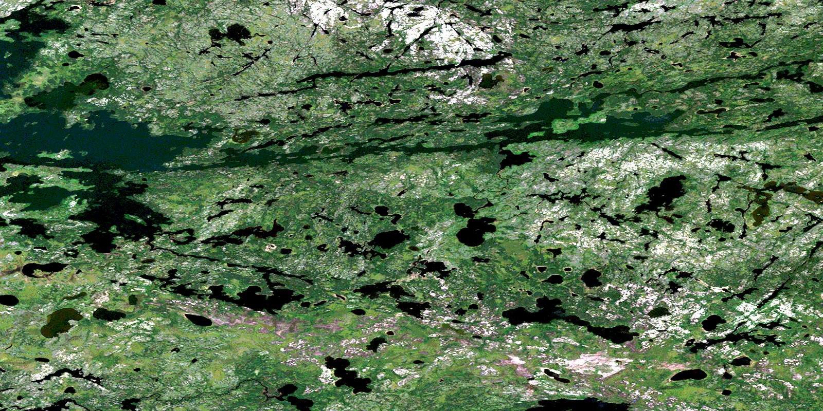
Kakinokamak Lake Satellite Imagery
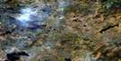
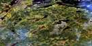
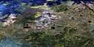
To view this satellite map, mouse over the air photo on the right.
You can also download this satellite image map for free:
053E13 Kakinokamak Lake high-resolution satellite image map.
Maps for the Kakinokamak Lake aerial map sheet 053E13 at 1:50,000 scale are also available in these versions:
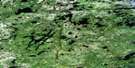
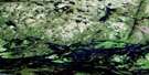
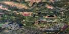
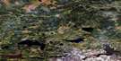
Kakinokamak Lake Surrounding Area Aerial Photo Maps
 |
 |
 |
 |
 |
 |
 |
 |
 |
 |
 |
 |
 |
 |
 |
 |
© Department of Natural Resources Canada. All rights reserved.
Kakinokamak Lake Gazetteer
The following places can be found on satellite image map 053E13 Kakinokamak Lake:
Kakinokamak Lake Satellite Image: Bays
Asoheesipaywinink BayGibson Bay
Mistatimokameekonk Bay
Opeepoiska Bay
Sanderson Bay
Kakinokamak Lake Satellite Image: Capes
Bruce PeninsulaMcRae Peninsula
Kakinokamak Lake Satellite Image: Channels
Matowokamank NarrowsWapaskank Narrows
Wapawongank Narrows
Kakinokamak Lake Satellite Image: Islands
Barber IslandGilbert Island
More Island
Kakinokamak Lake Satellite Image: Lakes
Acheetamo LakeBig Meegeesi Lake
George Kelly Lake
Kakinokamak Lake
Kameechensakaywak Lake
Kapankskwakakamak Lake
Kokookoho Lake
Lychowich Lake
Maseenapeekeenekin Lake
Meegeesi Lake
Meegeesi Rapids Lake
Mukatamik Lake
Ogas Lake
Ogit Lake
Pacha Lake
Raven Lake
Salmon Lake
Stevenson Lake
Wakun Lake
Wapaskekank Lakes
Weekwaymot Lake
Kakinokamak Lake Satellite Image: Rapids
Deer RapidsKakinokamak Lake Satellite Image: Rivers
Matanagama RiverStevenson River
© Department of Natural Resources Canada. All rights reserved.
053E Related Maps:
053E Island Lake053E01 Varveclay Lake
053E02 Gorman Lake
053E03 Lily Pad Lake
053E04 Hudwin Lake
053E05 Namaykosogun Lake
053E06 Cantin Lake
053E07 No Title
053E08 Oasis Lake
053E09 Benson Bay
053E10E Wapus Bay
053E10W Wapus Bay
053E11 Wass Lake
053E12 Bigstone Lake
053E13 Kakinokamak Lake
053E14 Dobbs Lake
053E15 Island Lake
053E16 York Lake
