Pukatawagan Lakes Satellite Image Map
Download Free Aerial Photo 053J01 at 1:50,000 scale
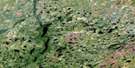
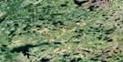
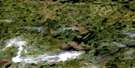
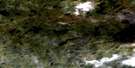
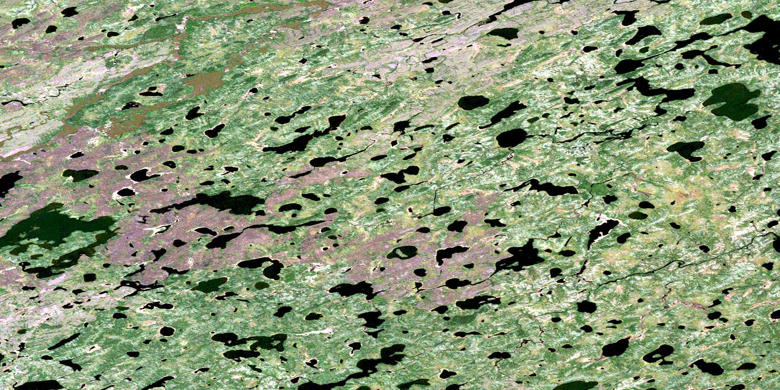
Pukatawagan Lakes Satellite Imagery
To view this satellite map, mouse over the air photo on the right.
You can also download this satellite image map for free:
053J01 Pukatawagan Lakes high-resolution satellite image map.
Maps for the Pukatawagan Lakes aerial map sheet 053J01 at 1:50,000 scale are also available in these versions:
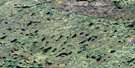
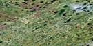
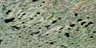
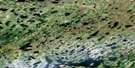
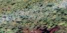
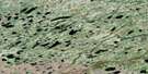
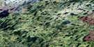
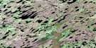
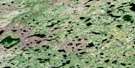
Pukatawagan Lakes Surrounding Area Aerial Photo Maps
 |
 |
 |
 |
 |
 |
 |
 |
 |
 |
 |
 |
 |
 |
 |
 |
© Department of Natural Resources Canada. All rights reserved.
Pukatawagan Lakes Gazetteer
The following places can be found on satellite image map 053J01 Pukatawagan Lakes:
Pukatawagan Lakes Satellite Image: Falls
Akem FallsPukatawagan Lakes Satellite Image: Lakes
Arguing LakeDerniere Lake
Dinwiddie Lake
Fat Lake
Jackfish Lake
Mikwawukaw Lake
Piko Lake
Pukatawagan Lakes
Pukatawagan Lakes Satellite Image: Conservation areas
Severn River Provincial ParkPukatawagan Lakes Satellite Image: Rivers
Severn RiverWitegoo River
© Department of Natural Resources Canada. All rights reserved.
053J Related Maps:
053J Thorne River053J01 Pukatawagan Lakes
053J02 No Title
053J03 Blackbear Lake
053J04 Igelstrom Lake
053J05 Withers Lake
053J06 Stables Lake
053J07 No Title
053J08 No Title
053J09 No Title
053J10 No Title
053J11 Sherman River
053J12 Ellard Lake
053J13 Yelling Lake
053J14 No Title
053J15 No Title
053J16 No Title
