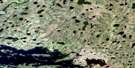
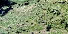
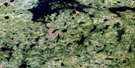
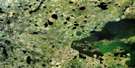
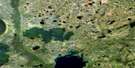
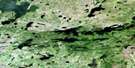
Robson Lake Satellite Image Map
Download Free Aerial Photo 053K03 at 1:50,000 scale
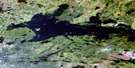
Robson Lake Satellite Imagery
To view this satellite map, mouse over the air photo on the right.
You can also download this satellite image map for free:
053K03 Robson Lake high-resolution satellite image map.
Maps for the Robson Lake aerial map sheet 053K03 at 1:50,000 scale are also available in these versions:
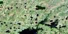
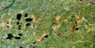
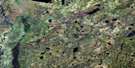
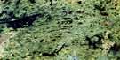
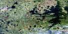
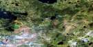
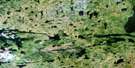
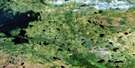
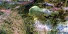
Robson Lake Surrounding Area Aerial Photo Maps
 |
 |
 |
 |
 |
 |
 |
 |
 |
 |
 |
 |
 |
 |
 |
 |
© Department of Natural Resources Canada. All rights reserved.
Robson Lake Gazetteer
The following places can be found on satellite image map 053K03 Robson Lake:
Robson Lake Satellite Image: Bays
Munro BayRobson Lake Satellite Image: Capes
Muskomotak PointOstikwankay Point
Sakink Point
Robson Lake Satellite Image: Channels
Asooikaywanik NarrowsChewaykunapesiskak Narrows
Nattaway Narrows
Sekakostikwanik Narrows
Robson Lake Satellite Image: Falls
Kakistapkichuk FallsNakapekak Falls
Robson Lake Satellite Image: Islands
Atikwawikun IslandMantomin Island
Pritchard Island
Wicks Island
Robson Lake Satellite Image: Lakes
Brabazon LakeEast Kakenokamak Lake
Hales Lake
Iskwayach Lake
Kamineetokowak Lake
Kapimechekamak Lake
Kasawkanepewokses Lake
Kwantakeeseekamak Lake
Makeesinis Lake
Mankos Lake
Moose Lake
Mukataysip Lake
Mukataysipwapeekamak Lake
Neetumkamisi Lake
Nekwakanaykanak Lake
Okas Lake
Omintawaywinik Lakes
Osakahikansismowak Lake
Pekwachnamaykoskwaskwaypinwanik Lake
Pierce Lake
Pierce Lake
Red Sucker Lake
Robert Stevenson Lake
Robson Lake
West Kakenokamak Lake
Robson Lake Satellite Image: Rapids
Kakenachinak RapidsMiskamaypin Rapids
Mukataysip Rapids
Robson Lake Satellite Image: Rivers
Kasisakakank CreekKitchiamikwesik Creek
Mankoskapakayak River
Mukataysip Creek
Red Sucker River
Seeber River
Willis Creek
Robson Lake Satellite Image: Road features
East Atik PortageKinawko Portage
New Portage
Peekwatateekak Portage
West Atik Portage
Robson Lake Satellite Image: Unincorporated areas
Piponshewanik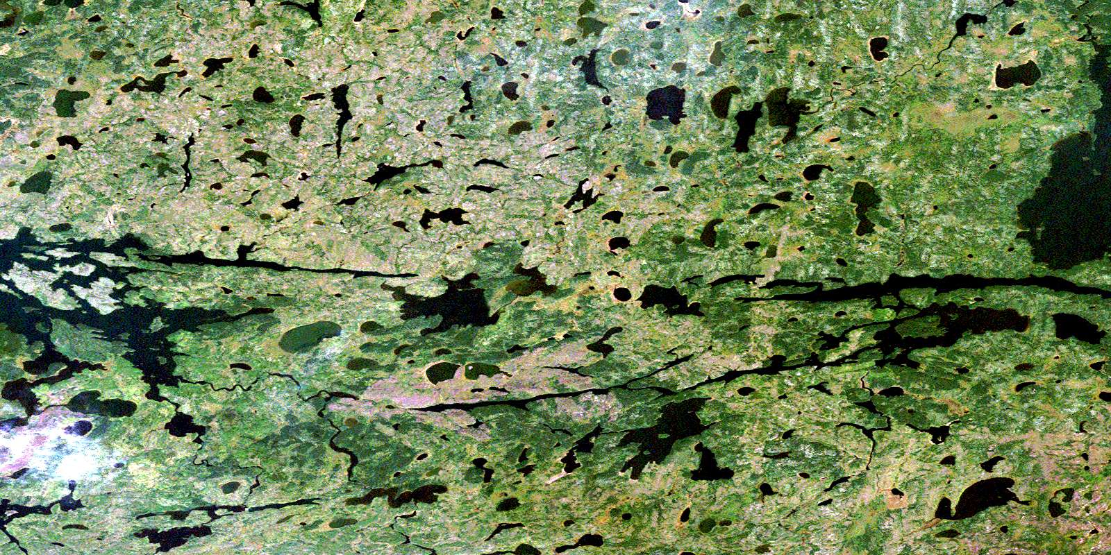
© Department of Natural Resources Canada. All rights reserved.
053K Related Maps:
053K Stull Lake053K01 Little Sachigo Lake
053K02 Pierce Lake
053K03 Robson Lake
053K04 Red Sucker Lake
053K05 Sharpe Lake
053K06 Makataysip Lake
053K07 Stull Lake
053K08 Rapson Bay
053K09 Ney Lake
053K10 Kistigan Lake
053K11 Edmund Lake
053K12 Pesanapisko Lake
053K13 Yellowback Island
053K14 Kenyon Lake
053K15 Atikamaykus Lake
053K16 Umisko Lake
