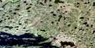
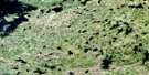
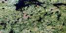
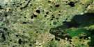
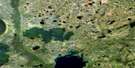
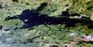
Pesanapisko Lake Satellite Image Map
Download Free Aerial Photo 053K12 at 1:50,000 scale
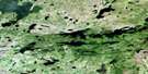
Pesanapisko Lake Satellite Imagery
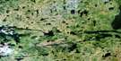
To view this satellite map, mouse over the air photo on the right.
You can also download this satellite image map for free:
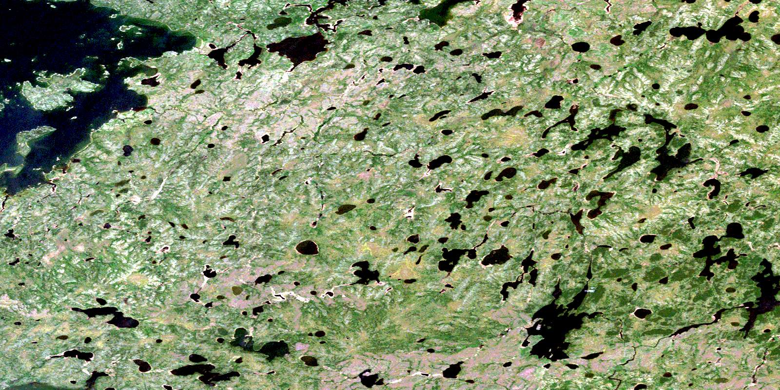
053K12 Pesanapisko Lake high-resolution satellite image map.
Maps for the Pesanapisko Lake aerial map sheet 053K12 at 1:50,000 scale are also available in these versions:
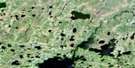
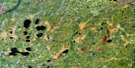
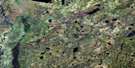
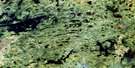
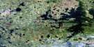
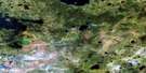
Pesanapisko Lake Surrounding Area Aerial Photo Maps
 |
 |
 |
 |
 |
 |
 |
 |
 |
 |
 |
 |
 |
 |
 |
 |
© Department of Natural Resources Canada. All rights reserved.
Pesanapisko Lake Gazetteer
The following places can be found on satellite image map 053K12 Pesanapisko Lake:
Pesanapisko Lake Satellite Image: Bays
Wasekuscusik BayPesanapisko Lake Satellite Image: Islands
McClarty IslandMistuhe Island
Pesanapisko Lake Satellite Image: Lakes
Albert Harrison LakeBlaine Pearson Lake
Gods Lake
John Roberts Lake
Kanusasu Lake
McMullin Lake
Pesanapisko Lake
Piskwakatawakow Lake
Royal Pearson Lake
Wapapiskwatayo Lake
Webber Lake
Weekwaskan Lake
Pesanapisko Lake Satellite Image: Rivers
Assinnewun CreekKanusasu River
Mistuhe River
Piskwakatawakow Creek
Weekwaskan River
© Department of Natural Resources Canada. All rights reserved.
053K Related Maps:
053K Stull Lake053K01 Little Sachigo Lake
053K02 Pierce Lake
053K03 Robson Lake
053K04 Red Sucker Lake
053K05 Sharpe Lake
053K06 Makataysip Lake
053K07 Stull Lake
053K08 Rapson Bay
053K09 Ney Lake
053K10 Kistigan Lake
053K11 Edmund Lake
053K12 Pesanapisko Lake
053K13 Yellowback Island
053K14 Kenyon Lake
053K15 Atikamaykus Lake
053K16 Umisko Lake
