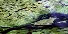
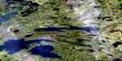
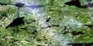
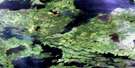
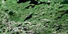
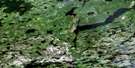
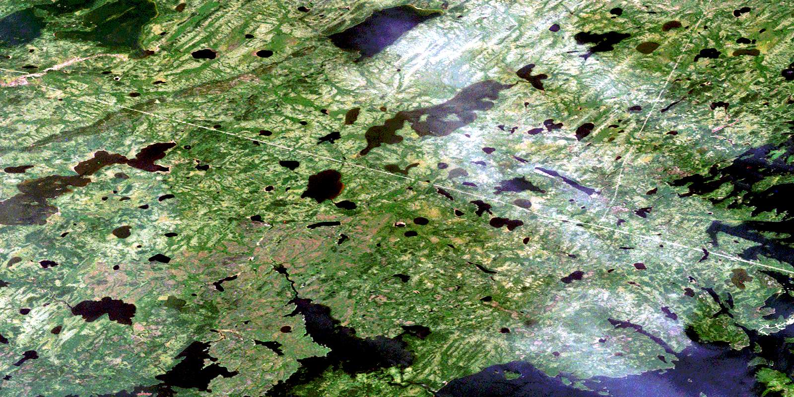
Vermilyea Lake Satellite Image Map
Download Free Aerial Photo 053L10 at 1:50,000 scale
Vermilyea Lake Satellite Imagery
To view this satellite map, mouse over the air photo on the right.
You can also download this satellite image map for free:
053L10 Vermilyea Lake high-resolution satellite image map.
Maps for the Vermilyea Lake aerial map sheet 053L10 at 1:50,000 scale are also available in these versions:
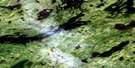
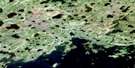
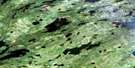
Vermilyea Lake Surrounding Area Aerial Photo Maps
 |
 |
 |
 |
 |
 |
 |
 |
 |
 |
 |
 |
 |
 |
 |
 |
© Department of Natural Resources Canada. All rights reserved.
Vermilyea Lake Gazetteer
The following places can be found on satellite image map 053L10 Vermilyea Lake:
Vermilyea Lake Satellite Image: Bays
Brown BayDavey Bay
Fathers Fishing Bay
Moss Bay
Wesachewan Bay
Zacharius Bay
Vermilyea Lake Satellite Image: Indian Reserves
Esker Ridge BGod's Lake 23
Vermilyea Lake
Vermilyea Lake Satellite Image: Islands
Kakakew IslandRaven Islands
Vermilyea Lake Satellite Image: Lakes
Brown LakeGods Lake
Hawkins Lake
Hepburn Lake
Hignell Lake
Hobson Lake
Magill Lake
Touchwood Lake
Vermilyea Lake
Wanless Lake
Wilson Lake
Vermilyea Lake Satellite Image: Rapids
Namaykos RapidsVermilyea Lake Satellite Image: Rivers
Brown CreekMagill Creek
Wanless Creek
Wesachewan River
© Department of Natural Resources Canada. All rights reserved.
053L Related Maps:
053L Oxford House053L01 Mistuhe Lake
053L02 Kakeenukamak Lake
053L03 Opom Lake
053L04 Nikik Lake
053L05 Bolton Lake
053L06 Joint Lake
053L07 Kanuchuan Rapids
053L08 Murray Lake
053L09 Gods Lake
053L10 Vermilyea Lake
053L11 Munro Lake
053L12 Windy Lake
053L13 Carghill Island
053L14 Oxford House
053L15 Knee Lake
053L16 Mcivor Lake
