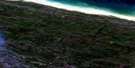
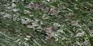
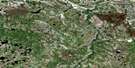
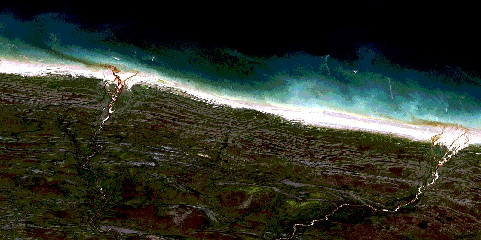
Milk Creek Satellite Image Map
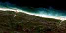
Download Free Aerial Photo 054A14 at 1:50,000 scale
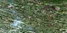
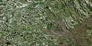
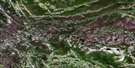
Milk Creek Satellite Imagery
To view this satellite map, mouse over the air photo on the right.
You can also download this satellite image map for free:
054A14 Milk Creek high-resolution satellite image map.
Maps for the Milk Creek aerial map sheet 054A14 at 1:50,000 scale are also available in these versions:
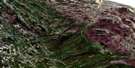
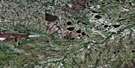
Milk Creek Surrounding Area Aerial Photo Maps
 |
 |
 |
|
 |
 |
 |
 |
 |
 |
 |
 |
 |
 |
 |
 |
© Department of Natural Resources Canada. All rights reserved.
Milk Creek Gazetteer
The following places can be found on satellite image map 054A14 Milk Creek:
Milk Creek Satellite Image: Lakes
Bowman LakeMilk Creek Satellite Image: Conservation areas
Cape Tatnam Wildlife Management AreaMilk Creek Satellite Image: Rivers
Black Duck RiverBlack Duck River
Kettle River
Little Auntie Creek
Milk Creek
Pikwataske Creek
Sakatawow River
Tiskran Creek
Upimintenaw Creek
© Department of Natural Resources Canada. All rights reserved.
054A Related Maps:
054A Black Duck River054A01 No Title
054A02 No Title
054A03 Mistahayo Lake
054A04 Mansemeigos Creek
054A05 Commission Lake
054A06 No Title
054A07 No Title
054A08 Majikun Creek
054A09 Tamuna River
054A10 Mintiagan Creek
054A11 No Title
054A12 No Title
054A13 Kataawi Creek
054A14 Milk Creek
054A15 West Pen Island
