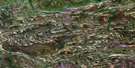
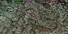
Callan Lake Satellite Image Map
Download Free Aerial Photo 054B02 at 1:50,000 scale
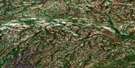
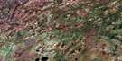
Callan Lake Satellite Imagery
To view this satellite map, mouse over the air photo on the right.
You can also download this satellite image map for free:
054B02 Callan Lake high-resolution satellite image map.
Maps for the Callan Lake aerial map sheet 054B02 at 1:50,000 scale are also available in these versions:
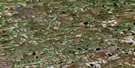
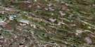
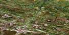
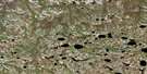
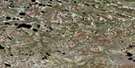
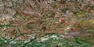
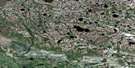
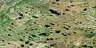
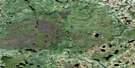
Callan Lake Surrounding Area Aerial Photo Maps
 |
 |
 |
 |
 |
 |
 |
 |
 |
 |
 |
 |
 |
 |
 |
 |
© Department of Natural Resources Canada. All rights reserved.
Callan Lake Gazetteer
The following places can be found on satellite image map 054B02 Callan Lake:
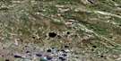
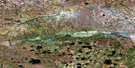
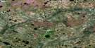
Callan Lake Satellite Image: Lakes
Callan Lake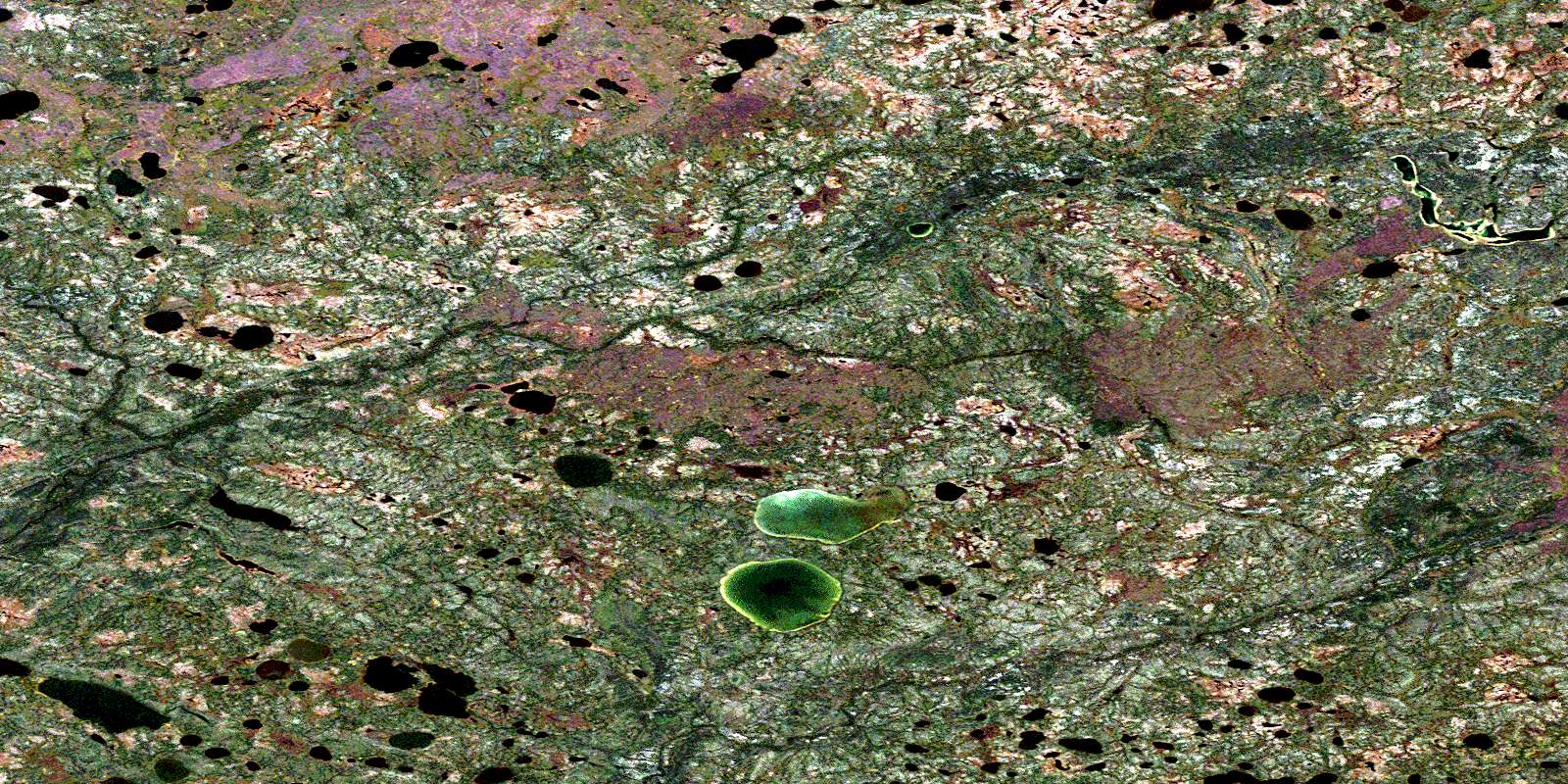
© Department of Natural Resources Canada. All rights reserved.
054B Related Maps:
054B Kaskattama River054B01 Spector Lake
054B02 Callan Lake
054B03 Burgess Lake
054B04 Pryor Lake
054B05 Adie Creek
054B06 Kiln Creek
054B07 Bouchard Lake
054B08 Forsberg Lake
054B09 Neufeld Lake
054B10 Minaker Lake
054B11 Schroeder Lake
054B12 Tagg Creek
054B13 No Title
054B14 Fargey Creek
054B15 No Title
054B16 Comeault Creek
