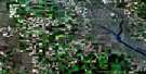
Kisbey Satellite Image Map
Download Free Aerial Photo 062E10 at 1:50,000 scale
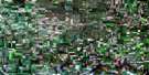
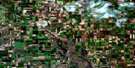
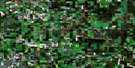
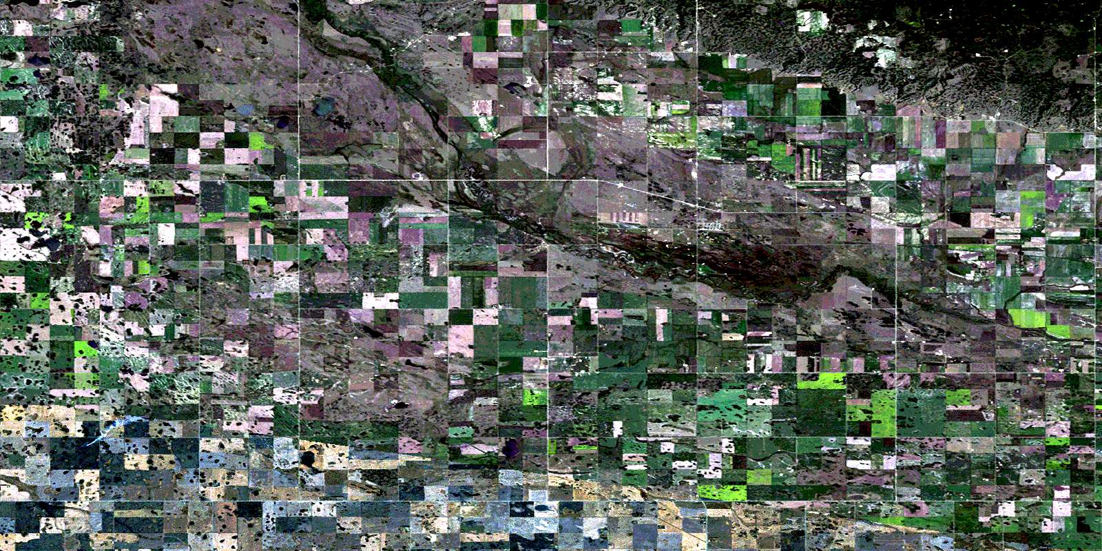
Kisbey Satellite Imagery
To view this satellite map, mouse over the air photo on the right.
You can also download this satellite image map for free:
062E10 Kisbey high-resolution satellite image map.
Maps for the Kisbey aerial map sheet 062E10 at 1:50,000 scale are also available in these versions:
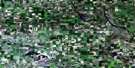
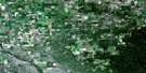
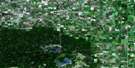
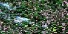
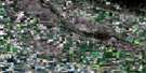
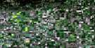
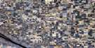
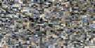
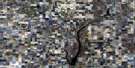
Kisbey Surrounding Area Aerial Photo Maps
 |
 |
 |
 |
 |
 |
 |
 |
 |
 |
 |
 |
 |
 |
 |
 |
© Department of Natural Resources Canada. All rights reserved.
Kisbey Gazetteer
The following places can be found on satellite image map 062E10 Kisbey:
Kisbey Satellite Image: Lakes
Adrian LakeBlack Lake
White Lake
Kisbey Satellite Image: Mountains
Moose MountainKisbey Satellite Image: Other municipal/district area - miscellaneous
Benson No. 35Brock No. 64
Browning No. 34
Tecumseh No. 65
Kisbey Satellite Image: Conservation areas
Moose Mountain Provincial ForestMoose Mountain Provincial Park
Kisbey Satellite Image: Rivers
Moose Mountain CreekKisbey Satellite Image: Unincorporated areas
ArmillaKisbey Satellite Image: Villages
ForgetKisbey
© Department of Natural Resources Canada. All rights reserved.
