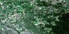
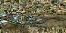
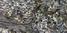
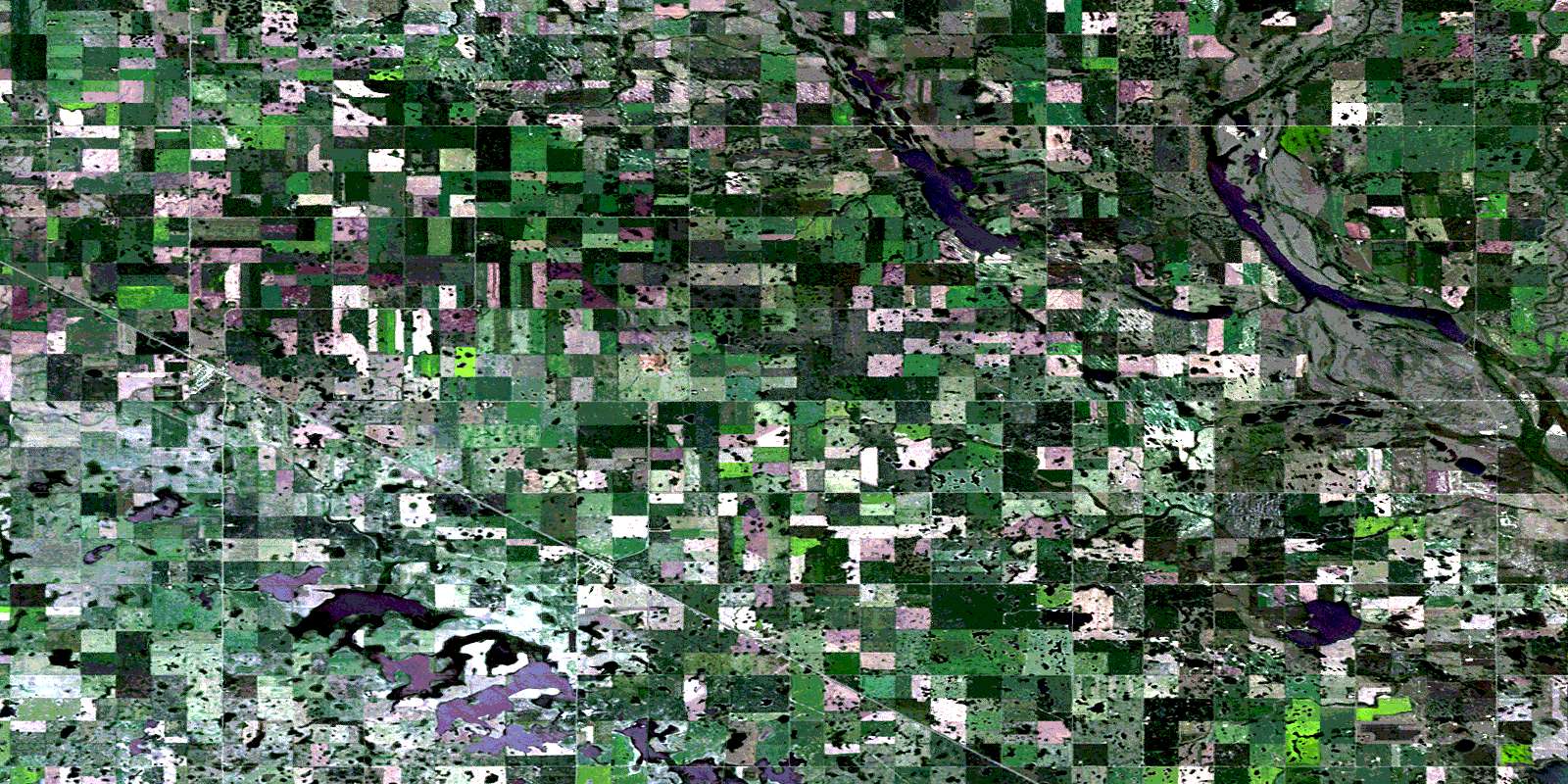
Fillmore Satellite Image Map
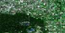
Download Free Aerial Photo 062E14 at 1:50,000 scale
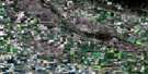
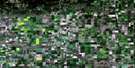
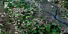
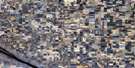
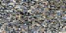
Fillmore Satellite Imagery
To view this satellite map, mouse over the air photo on the right.
You can also download this satellite image map for free:
062E14 Fillmore high-resolution satellite image map.
Maps for the Fillmore aerial map sheet 062E14 at 1:50,000 scale are also available in these versions:
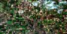
Fillmore Surrounding Area Aerial Photo Maps
 |
 |
 |
 |
 |
 |
 |
 |
 |
 |
 |
 |
 |
 |
 |
 |
© Department of Natural Resources Canada. All rights reserved.
Fillmore Gazetteer
The following places can be found on satellite image map 062E14 Fillmore:
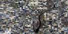
Fillmore Satellite Image: Indian Reserves
Ocean Man 69Ocean Man 69A
Ocean Man 69B
Ocean Man 69C
Fillmore Satellite Image: Lakes
Chick LakeGooseberry Lake
Moose Mountain Lake
Rock Lake
Fillmore Satellite Image: Mountains
Lost Horse HillFillmore Satellite Image: Other municipal/district area - miscellaneous
Fillmore No. 96Golden West No. 95
Griffin No. 66
Tecumseh No. 65
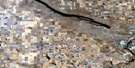
Fillmore Satellite Image: Rivers
James CreekMoose Mountain Creek
Wolf Creek
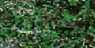
Fillmore Satellite Image: Villages
CreelmanFillmore
© Department of Natural Resources Canada. All rights reserved.
