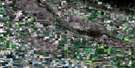
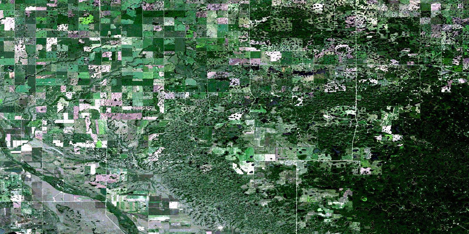
Handsworth Satellite Image Map
Download Free Aerial Photo 062E15 at 1:50,000 scale
Handsworth Satellite Imagery
To view this satellite map, mouse over the air photo on the right.
You can also download this satellite image map for free:
062E15 Handsworth high-resolution satellite image map.
Maps for the Handsworth aerial map sheet 062E15 at 1:50,000 scale are also available in these versions:
Handsworth Surrounding Area Aerial Photo Maps
 |
 |
 |
 |
 |
 |
 |
 |
 |
 |
 |
 |
 |
 |
 |
 |
© Department of Natural Resources Canada. All rights reserved.
Handsworth Gazetteer
The following places can be found on satellite image map 062E15 Handsworth:
Handsworth Satellite Image: Hamlets
CorningHandsworth Satellite Image: Indian Reserves
Ocean Man 69DOcean Man 69E
Ocean Man 69F
Ocean Man 69G
Ocean Man 69H
Ocean Man 69I
Pheasant Rump Nakota
Handsworth Satellite Image: Lakes
Birch Island LakeBurgess Lake
Camp Lake
Connell Lake
Coyote Lake
Deep Water Lake
Hassard Lake
Hippon Lake
Link Lake
Long Lake
Marie Lake
McFarlane Lake
Thirty Lake
West Two Island Lake
Yakowiskaw Lake
Handsworth Satellite Image: Mountains
Moose MountainHandsworth Satellite Image: Other municipal/district area - miscellaneous
Brock No. 64Golden West No. 95
Hazelwood No. 94
Tecumseh No. 65
Handsworth Satellite Image: Conservation areas
Moose Mountain Provincial ForestMoose Mountain Provincial Park
Handsworth Satellite Image: Rivers
James CreekMoose Mountain Creek
Handsworth Satellite Image: Unincorporated areas
GapviewHandsworth
Hazelwood
Moose Valley
Warmley
© Department of Natural Resources Canada. All rights reserved.
