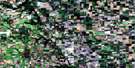
Wawanesa Satellite Image Map
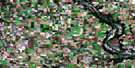
Download Free Aerial Photo 062G12 at 1:50,000 scale
Wawanesa Satellite Imagery
To view this satellite map, mouse over the air photo on the right.
You can also download this satellite image map for free:
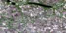
062G12 Wawanesa high-resolution satellite image map.
Maps for the Wawanesa aerial map sheet 062G12 at 1:50,000 scale are also available in these versions:
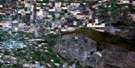
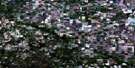
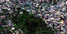
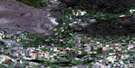
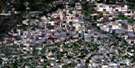
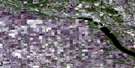
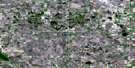
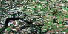
Wawanesa Surrounding Area Aerial Photo Maps
 |
 |
 |
 |
 |
 |
 |
 |
 |
 |
 |
 |
 |
 |
 |
 |
© Department of Natural Resources Canada. All rights reserved.
Wawanesa Gazetteer
The following places can be found on satellite image map 062G12 Wawanesa:
Wawanesa Satellite Image: Capes
Skookum PointWawanesa Satellite Image: Hydraulic construction
Wawanesa DamWawanesa Satellite Image: Lakes
Kent LakeLake Clementi
Lloyds Lake
Noble Lake
Nobles Lake
Wawanesa Satellite Image: Military areas
Champ de tir et champ de manoeuvre ShiloShilo Range and Training Area
Wawanesa Satellite Image: Mountains
Brandon HillsOld Baldy
Tiger Hills
Wawanesa Satellite Image: Other municipal/district area - miscellaneous
CornwallisOakland
Riverside
South Cypress
Strathcona
Whitewater
Wawanesa Satellite Image: Conservation areas
Assiniboine Corridor Wildlife Management AreaBrandon Hills Wildlife Management Area
Riverside Wildlife Management Area
Souris River Bend Wildlife Management Area
Spruce Woods Provincial Forest
Wawanesa Satellite Image: Rivers
Assiniboine RiverBlack Creek
Five Mile Creek
Little Souris River
Oak Creek
Souris River
Spring Brook
Spring Creek
Wawanesa Satellite Image: Unincorporated areas
AshdownAweme
Banting
Chaucer
Elliotts
Gregorys Mill
Hilton
Methven
Nesbitt
Noble Lake
Reids
Rounthwaite
Treesbank
Treesbank Ferry
Wawanesa Satellite Image: Low vegetation
Rices SloughWawanesa Satellite Image: Villages
Wawanesa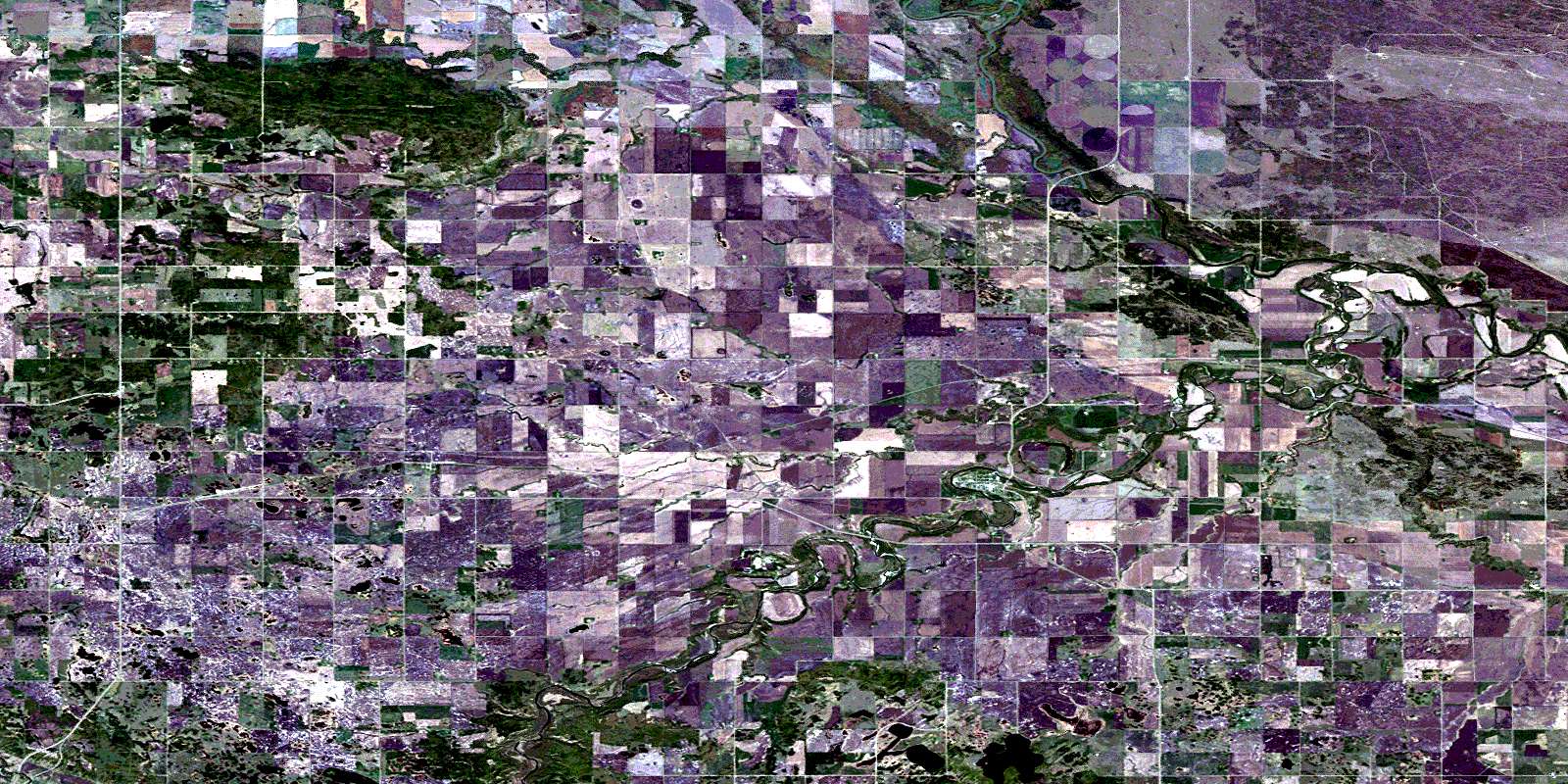
© Department of Natural Resources Canada. All rights reserved.
