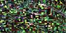
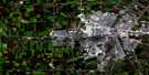
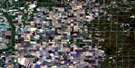
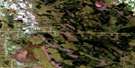
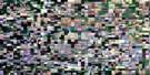
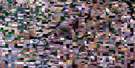
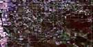
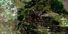
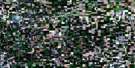
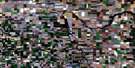
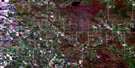
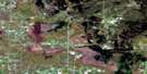
St Adolphe Satellite Image Map
Download Free Aerial Photo 062H11 at 1:50,000 scale
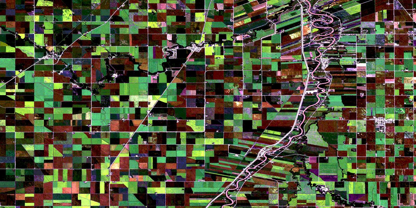
St Adolphe Satellite Imagery
To view this satellite map, mouse over the air photo on the right.
You can also download this satellite image map for free:
062H11 St Adolphe high-resolution satellite image map.
Maps for the St Adolphe aerial map sheet 062H11 at 1:50,000 scale are also available in these versions:
St Adolphe Surrounding Area Aerial Photo Maps
 |
 |
 |
 |
 |
 |
 |
 |
 |
 |
 |
 |
 |
 |
 |
 |
© Department of Natural Resources Canada. All rights reserved.
St Adolphe Gazetteer
The following places can be found on satellite image map 062H11 St Adolphe:
St Adolphe Satellite Image: City
WinnipegSt Adolphe Satellite Image: Geographical areas
Rat River SettlementSt. Norbert
Ste. Agathe
St Adolphe Satellite Image: Hydraulic construction
Barnland DrainCanal de dérivation de la Rivière Rouge
Canal de dérivation de la Rivière Seine
Domain Drain
Hogue Dam
King Drain
Kirk Drain
La Salle Dam
Lewko Dam
Manness Drain
McTavish Drain
Prefontaine Drain
Red River Floodway
Roberts Drain
Sanford Dam
Seine River Diversion
St. Norbert Dam
Taylor Drain
St Adolphe Satellite Image: Major municipal/district area - major agglomerations
Greater WinnipegSt Adolphe Satellite Image: Other municipal/district area - miscellaneous
De SalaberryHanover
Macdonald
Morris
Ritchot
St Adolphe Satellite Image: Rivers
La Salle RiverMarsh River
Morris River
Rat River
Red River
Rivière aux Rats
Rivière Marsh
Rivière Morris
Rivière Rouge
Rivière Sale
Sale River
Tourond Creek
St Adolphe Satellite Image: Road features
Lord Selkirk HighwayRoute Lord Selkirk
St Adolphe Satellite Image: Towns
NivervilleSt Adolphe Satellite Image: Unincorporated areas
CartierDipples
Domain
Fort Garry
Glenlea
Howden
La Barrière
La Salle
Osborne
Otterburne
Sanford
St. Adolphe
St. Germain South
Ste. Agathe
Union Point
Willard
St Adolphe Satellite Image: Valleys
Kosc CouleeSt. Adolphe Coulee
St Adolphe Satellite Image: Villages
RielSt. Boniface - St. Vital
© Department of Natural Resources Canada. All rights reserved.
