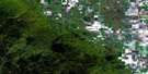
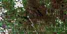
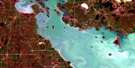
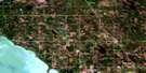
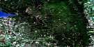
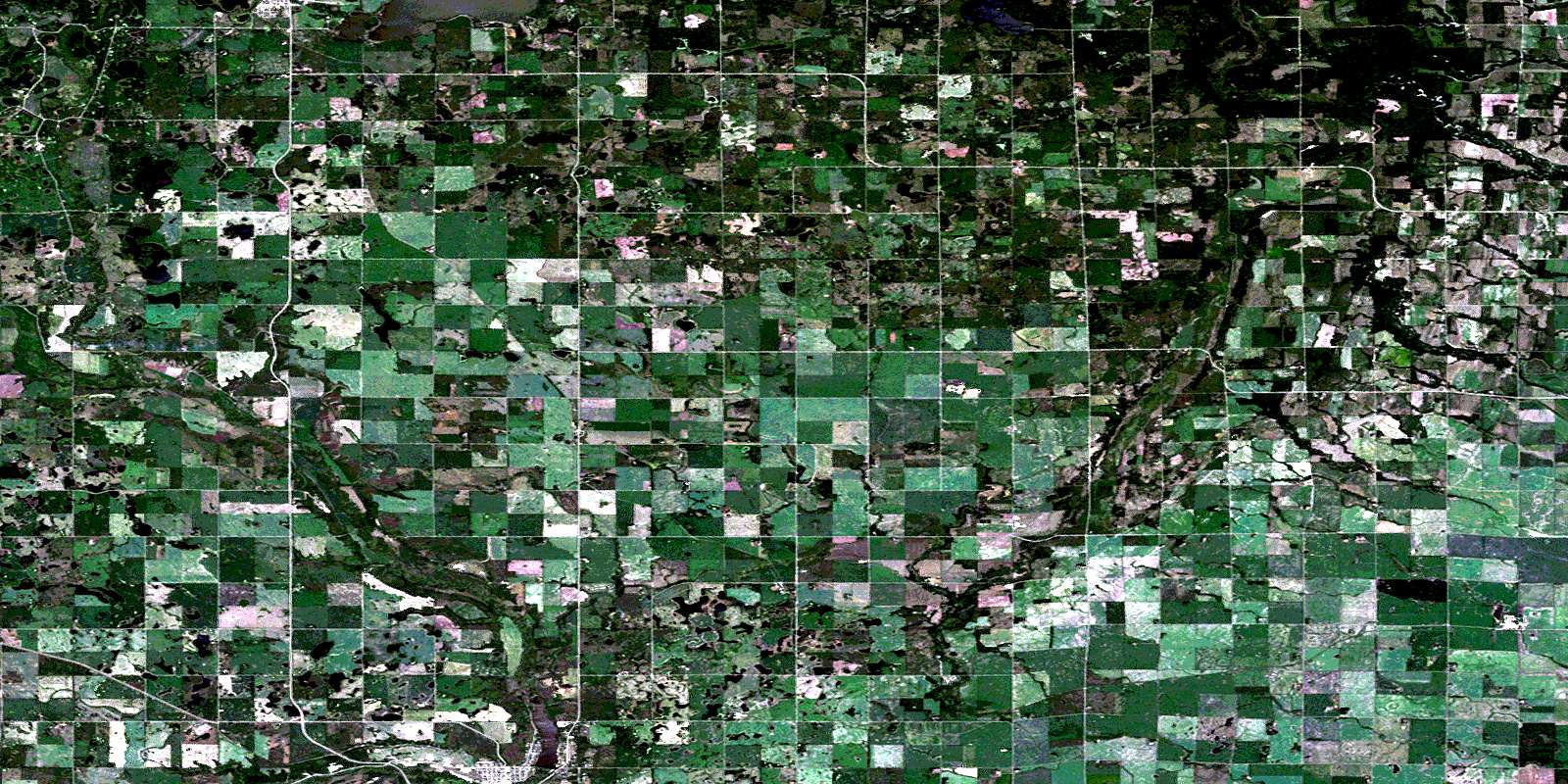
Clanwilliam Satellite Image Map
Download Free Aerial Photo 062J05 at 1:50,000 scale
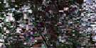
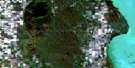
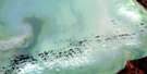
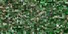
Clanwilliam Satellite Imagery
To view this satellite map, mouse over the air photo on the right.
You can also download this satellite image map for free:
062J05 Clanwilliam high-resolution satellite image map.
Maps for the Clanwilliam aerial map sheet 062J05 at 1:50,000 scale are also available in these versions:
Clanwilliam Surrounding Area Aerial Photo Maps
 |
 |
 |
 |
 |
 |
 |
 |
 |
 |
 |
 |
 |
 |
 |
 |
© Department of Natural Resources Canada. All rights reserved.
Clanwilliam Gazetteer
The following places can be found on satellite image map 062J05 Clanwilliam:
Clanwilliam Satellite Image: Hydraulic construction
Minnedosa DamClanwilliam Satellite Image: Indian Reserves
Rolling River 67Rolling River 67b
Clanwilliam Satellite Image: Lakes
Ann LakeAntons Lake
Arnold Lake
Averills Lake
Benson Lake
Bones Lake
Booths Lake
Cairn Lake
Cameron Lake
Cannons Lake
Cape Lake
Coulsons Lake
Eagle Lake
East Eighteen Lake
Elsie Lake
Ewens Lakes
Falcon Lake
Firby Lake
Gamey Lake
Gourlay Lake
Graan Lake
Greenlaws Lake
Harts Lake
Helens Lake
Hilliards Lake
Horseshoe Lake
Hugh Lake
Jacksons Lake
Johnston Lake
Katie Lake
Kaufmans Lake
Kerr Lake
Kerrs Lake
King Lake
Kite Lake
Leda Lake
Little Erickson Lake
Little Otter Lake
Londrys Lake
Mattsons Lake
McKays Lake
McKerrells Lake
McRaes Lake
Minnedosa Lake
Munros Lake
Nora Lake
Nystrom Lake
Otter Lake
Peterson Lake
Potts Lake
Sangers Lake
Shannocappo Lake
Tomlinson Lake
Van Lake
Watson Lake
West Eighteen Lake
Clanwilliam Satellite Image: Mountains
Beatties HillCrocus Hill
Firbys Hill
Gordons Hill
Grant Hill
Munros Hill
Peterson Hill
Pollons Hill
Riding Mountain
Clanwilliam Satellite Image: Other municipal/district area - miscellaneous
ClanwilliamHarrison
Minto
Rosedale
Saskatchewan
Clanwilliam Satellite Image: Conservation areas
Minnedosa Lake Wildlife RefugeParc national du Canada du Mont-Riding
Riding Mountain National Park of Canada
Clanwilliam Satellite Image: Rivers
Birnie CreekEden Creek
Law Creek
Little Saskatchewan River
Logans Creek
Millar Creek
Miller Creek
Minnedosa River
Neepawa Creek
North Snake Creek
Otter Creek
Pelican Creek
Rolling River
Sandersons Creek
Spring Creek
Stony Creek
Wapus Creek
West Spring Creek
Clanwilliam Satellite Image: Towns
EricksonMinnedosa
Clanwilliam Satellite Image: Unincorporated areas
BethanyClan William
Clanwilliam
Crocus
Elk Ranch
Hilltop
Largs
Minnedosa Beach
Mountain Road
Murchison
Orrville
Otter Lake
Polonia
Rolling River
Springhill
Clanwilliam Satellite Image: Valleys
Huns ValleyMcFadden Valley
Shale Valley
© Department of Natural Resources Canada. All rights reserved.
