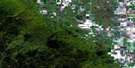
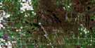
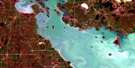
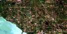
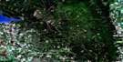
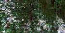
St Ambroise Satellite Image Map
Download Free Aerial Photo 062J08 at 1:50,000 scale
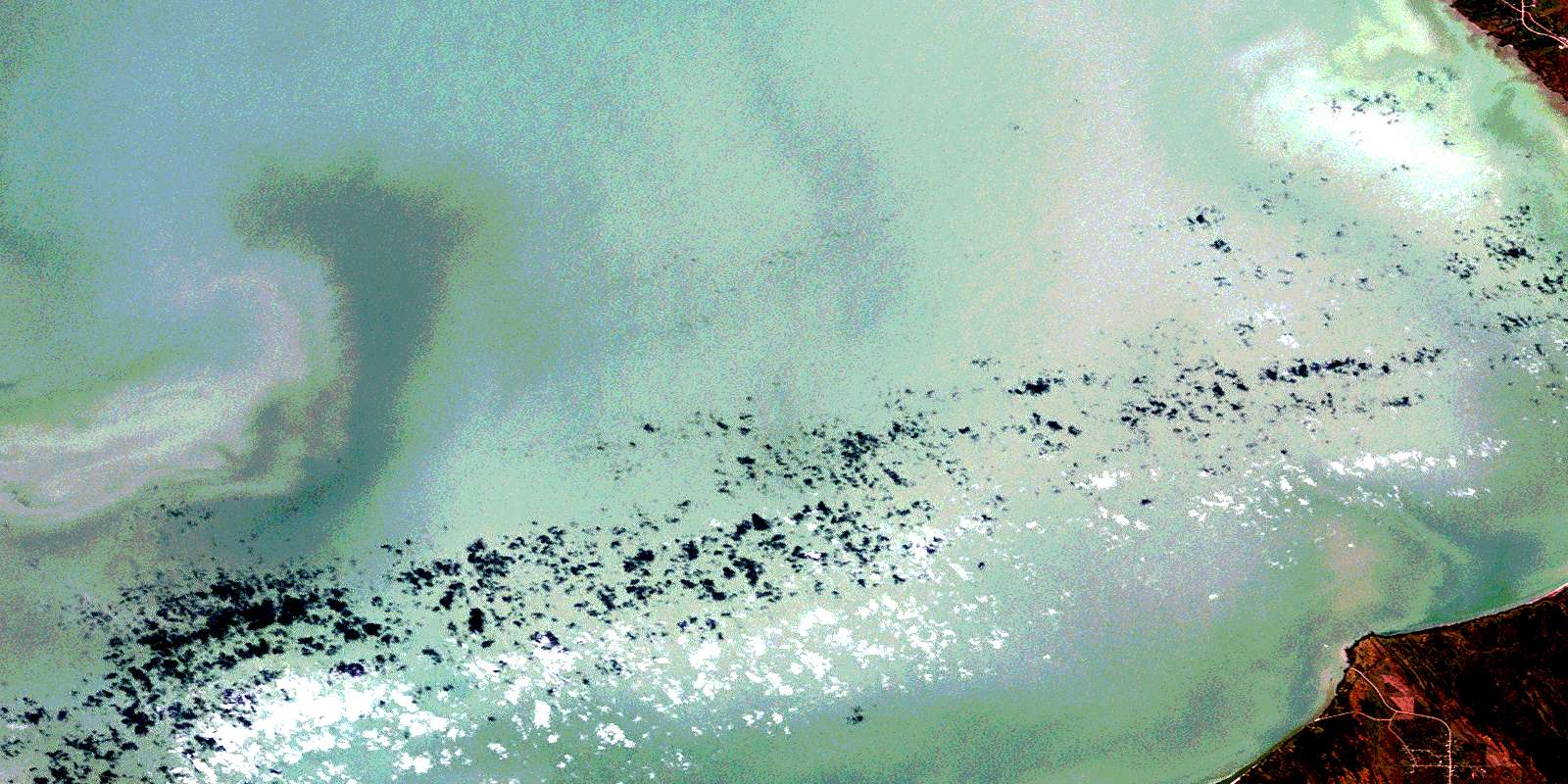
St Ambroise Satellite Imagery
To view this satellite map, mouse over the air photo on the right.
You can also download this satellite image map for free:
062J08 St Ambroise high-resolution satellite image map.
Maps for the St Ambroise aerial map sheet 062J08 at 1:50,000 scale are also available in these versions:
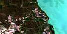
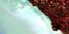
St Ambroise Surrounding Area Aerial Photo Maps
 |
 |
 |
 |
 |
 |
 |
 |
 |
 |
 |
 |
 |
 |
 |
 |
© Department of Natural Resources Canada. All rights reserved.
St Ambroise Gazetteer
The following places can be found on satellite image map 062J08 St Ambroise:
St Ambroise Satellite Image: Bays
Armstrongs BayCanvasback Bay
Clandeboye Bay
Clandeboye Bay
East Bluebill Bay
Georgie Bay
Roys Bay
St Ambroise Satellite Image: Capes
Oak PointSt Ambroise Satellite Image: Channels
Canvasback PassSioux Pass
St Ambroise Satellite Image: Geographical areas
Oak Point SettlementSt Ambroise Satellite Image: Islands
Rocky IslandSt Ambroise Satellite Image: Lakes
Bruce LakeChief Lake
Josie Lake
Lac Manitoba
Lake Francis
Lake Manitoba
Little Lake Francis
Pauls Lake
Redhead Lake
Sellers Pothole
Sioux Pass Lake
Widgeon Lake
St Ambroise Satellite Image: Other municipal/district area - miscellaneous
Portage la PrairieSt. Laurent
Woodlands
St Ambroise Satellite Image: Conservation areas
St. Ambroise Beach Provincial ParkSt. Ambroise Beach Provincial Recreation Park
St. Ambroise Game Bird Refuge
St Ambroise Satellite Image: Rivers
Blind CreekCattle Creek
First Creek
Hook Creek
Roys Canal
Second Creek
Suzette Creek
St Ambroise Satellite Image: Unincorporated areas
St. AmbroiseSt Ambroise Satellite Image: Low vegetation
Delta MarshSioux Pass Marsh
© Department of Natural Resources Canada. All rights reserved.
