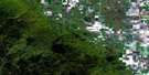
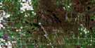
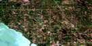
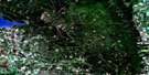
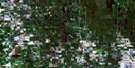
Wasagaming Satellite Image Map
Download Free Aerial Photo 062J12 at 1:50,000 scale
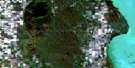
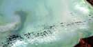
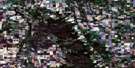
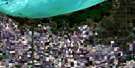
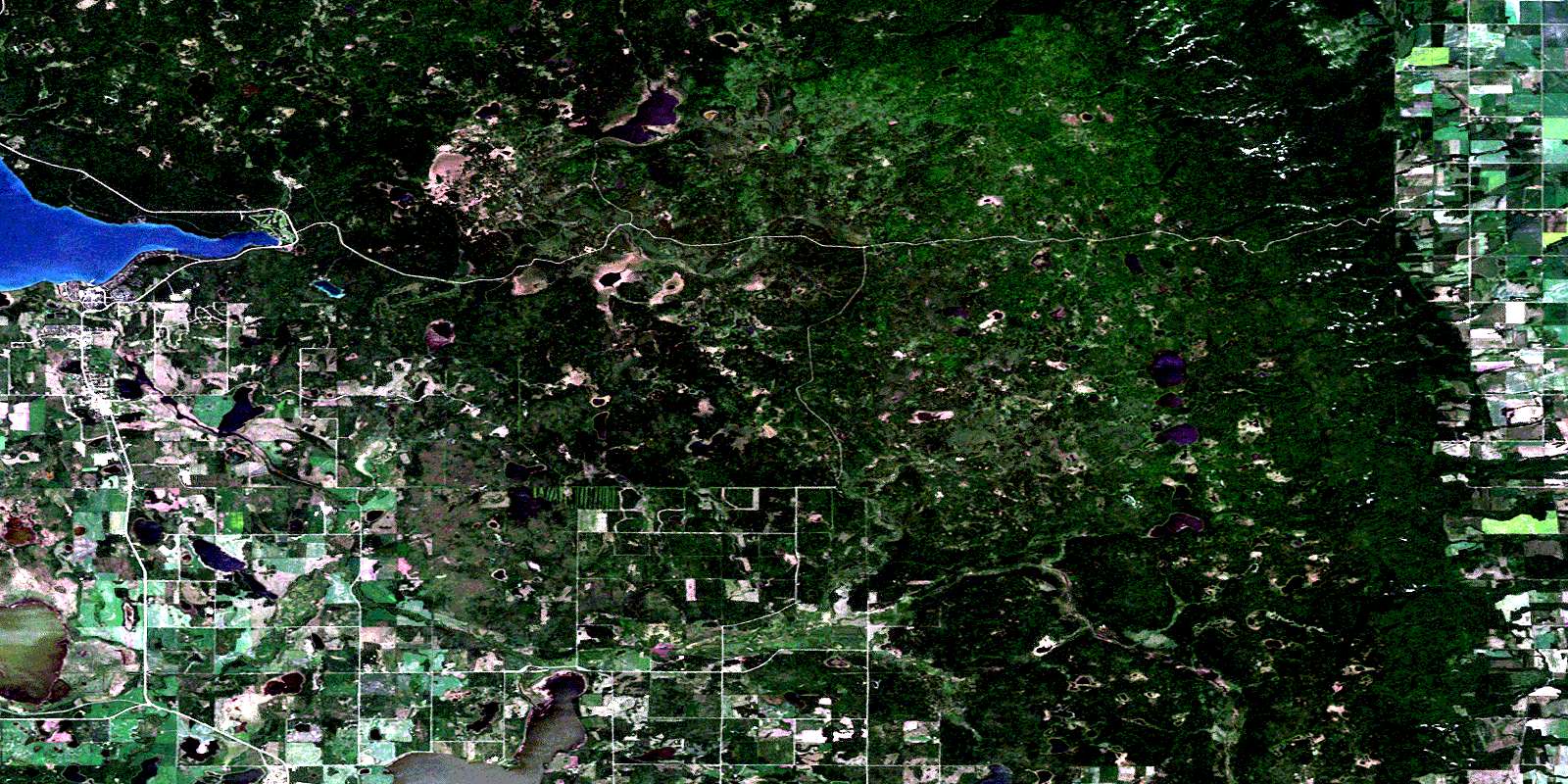
Wasagaming Satellite Imagery
To view this satellite map, mouse over the air photo on the right.
You can also download this satellite image map for free:
062J12 Wasagaming high-resolution satellite image map.
Maps for the Wasagaming aerial map sheet 062J12 at 1:50,000 scale are also available in these versions:
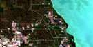
Wasagaming Surrounding Area Aerial Photo Maps
 |
 |
 |
 |
 |
 |
 |
 |
 |
 |
 |
 |
 |
 |
 |
 |
© Department of Natural Resources Canada. All rights reserved.
Wasagaming Gazetteer
The following places can be found on satellite image map 062J12 Wasagaming:
Wasagaming Satellite Image: Bays
Deep BayWasagaming Satellite Image: Hydraulic construction
Kuyp DrainNorgate Drain
Reeve Drain
Wasagaming Satellite Image: Indian Reserves
Rolling River 67Rolling River 67a
Wasagaming Satellite Image: Lakes
Apple LakeBaraniuks Lake
Beaver Lodge Lake
Campbell Lake
Carson Lake
Clear Lake
Cowan Lake
Crescent Lake
Ditch Lake
East Deep Lake
Eleven Lake
Falcon Lake
Gertrude Lake
Helen Lake
Hemingston Lakes
Hemmingson Lakes
Huttons Lake
Josepha Lake
Katherine Lake
Kerr Lake
Kerrs Lake
Kidney Lake
Kinosao Lake
Lake Three
Leda Lake
Lees Lake
May Lake
McKinnon Lake
Ministic Lake
Muskrat Lake
North Pacey Lake
Octopus Lake
Otter Lake
Palser Lake
Pots Lake
Proven Lake
Pudge Lake
Rowland Lake
Salt Lake
Sand Lake
South Pacey Lake
Stink Lake
Watson Lake
Whirlpool Lake
Winslow Lake
Wasagaming Satellite Image: Mountains
Bald HillLittle Bald Hill
Palser Hill
Riding Mountain
Wickdahls Hill
Wasagaming Satellite Image: Other municipal/district area - miscellaneous
ClanwilliamHarrison
McCreary
Rosedale
Wasagaming Satellite Image: Conservation areas
Lieu historique national du Canada du Centre-d'Inscription-de-l'Entrée-Est-du-Parc-du-Mont-RidingOnanole Wildlife Management Area
Otter Lake Wildlife Management Area
Parc national du Canada du Mont-Riding
Proven Lake Wildlife Management Area
Riding Mountain National Park of Canada
Riding Mountain Park East Gate Registration Complex National Historic Site of Canada
Wasagaming Satellite Image: Plains
Six Forty PlainWasagaming Satellite Image: Rivers
Bald Hill CreekBirnie Creek
Conway Creek
Dead Ox Creek
Ferris Creek
Gorge Creek
Kinch Creek
McKinnon Creek
McLung Creek
Muskrat Creek
North Snake Creek
Octopus Creek
Packhorse Creek
Rolling River
Rolling River
Rowland Creek
South Bald Hill Creek
Swanson Creek
Tea Creek
Watson Creek
Whirlpool River
Wilson Creek
Wasagaming Satellite Image: Springs
Otter Lake SpringsWasagaming Satellite Image: Towns
EricksonWasagaming Satellite Image: Unincorporated areas
BethelDitch Lake
Kerr Lake
Kerrs Lake
Onanole
Scandinavia
Wasagaming
Wasagaming Satellite Image: Valleys
McFadden ValleyWasagaming Satellite Image: Low vegetation
Hay MeadowOminnik Marsh
© Department of Natural Resources Canada. All rights reserved.
