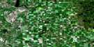
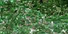
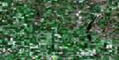
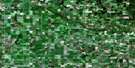
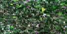
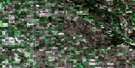
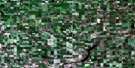
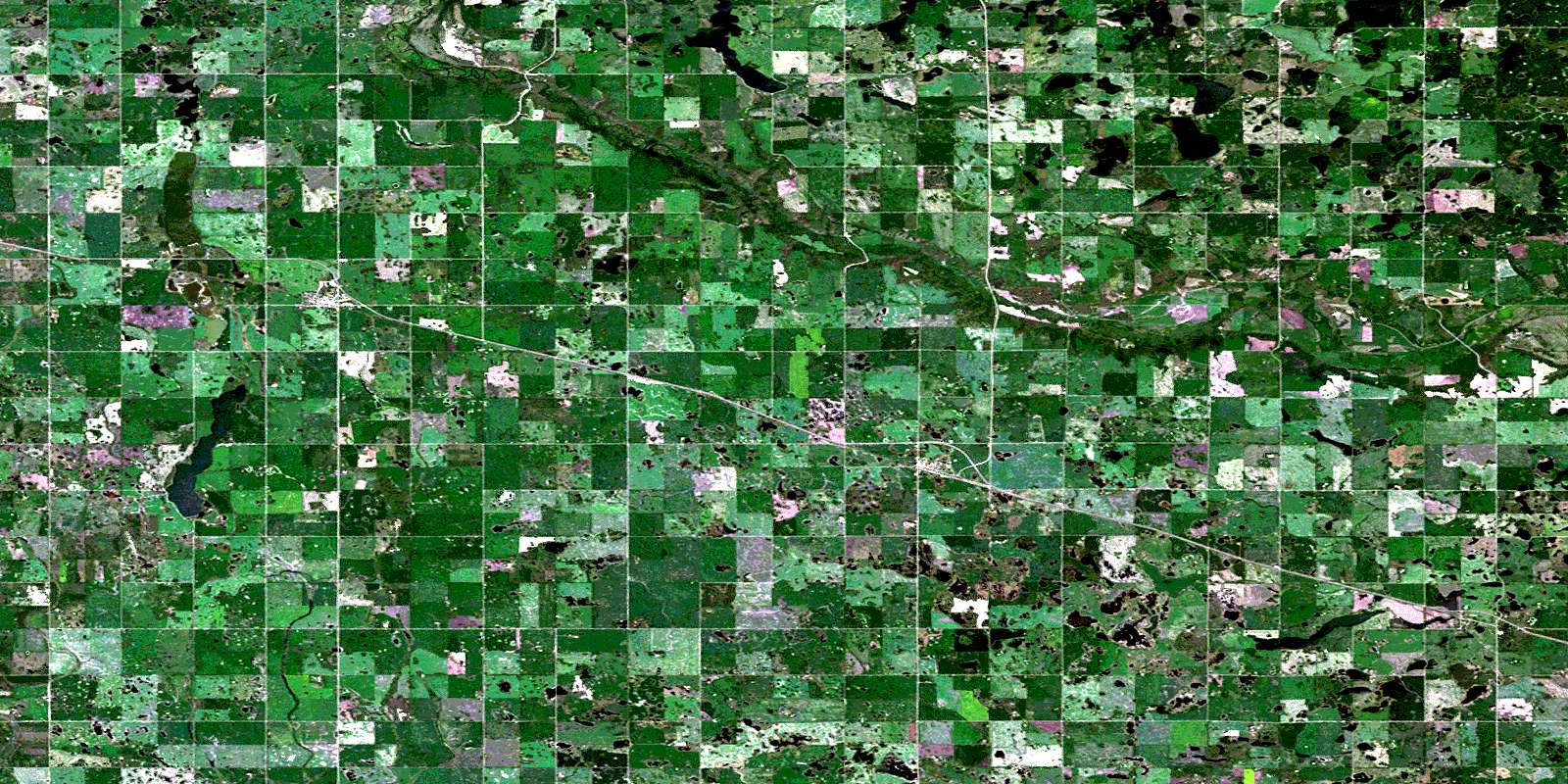
Newdale Satellite Image Map
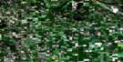
Download Free Aerial Photo 062K08 at 1:50,000 scale
Newdale Satellite Imagery
To view this satellite map, mouse over the air photo on the right.
You can also download this satellite image map for free:
062K08 Newdale high-resolution satellite image map.
Maps for the Newdale aerial map sheet 062K08 at 1:50,000 scale are also available in these versions:
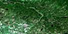
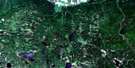
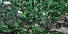
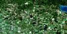
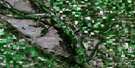
Newdale Surrounding Area Aerial Photo Maps
 |
 |
 |
 |
 |
 |
 |
 |
 |
 |
 |
 |
 |
 |
 |
© Department of Natural Resources Canada. All rights reserved.
Newdale Gazetteer
The following places can be found on satellite image map 062K08 Newdale:
Newdale Satellite Image: Indian Reserves
Rolling River 67Newdale Satellite Image: Lakes
Baczewicz LakeBasswood Lake
Buchanans Lake
Butterfield Lake
Dirty Lake
Eagle Lake
Evans Lake
Firby Lake
Fletcher Lake
Fourteen Lake
Gull Lake
Jackfish Lake
Little Jackfish Lake
Long Lake
McKay Lake
North Salt Lake
Perch Lake
Salt Lake
Shannocappo Lake
Silver Lake
Wolf Lake
Newdale Satellite Image: Mountains
Banburys HillMosquito Hill
Powerhouse Hill
Newdale Satellite Image: Other municipal/district area - miscellaneous
HarrisonSaskatchewan
Strathclair
Newdale Satellite Image: Conservation areas
Harrison Wildlife Management AreaLittle Saskatchewan River Wildlife Management Area
Newdale Satellite Image: Rivers
Little Saskatchewan RiverMinnedosa River
Oak River
West Spring Creek
Newdale Satellite Image: Unincorporated areas
BasswoodGlossop
Ipswich
Newdale
Ozerna
Strathclair
Newdale Satellite Image: Low vegetation
Bradley MarshCooks Marsh
Dennisons Marsh
Jaremas Marsh
© Department of Natural Resources Canada. All rights reserved.
