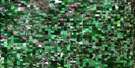
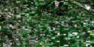
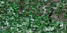
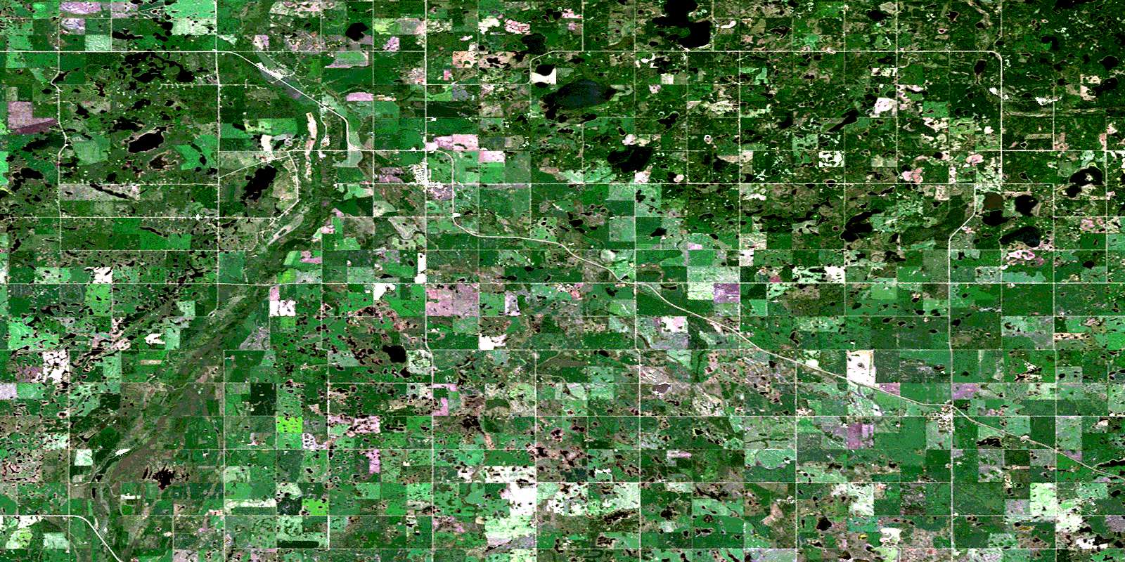
Rossburn Satellite Image Map
Download Free Aerial Photo 062K10 at 1:50,000 scale
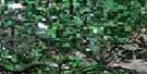
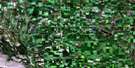
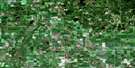
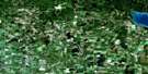
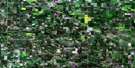
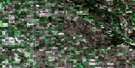
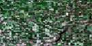
Rossburn Satellite Imagery
To view this satellite map, mouse over the air photo on the right.
You can also download this satellite image map for free:
062K10 Rossburn high-resolution satellite image map.
Maps for the Rossburn aerial map sheet 062K10 at 1:50,000 scale are also available in these versions:
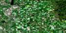
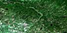
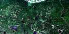
Rossburn Surrounding Area Aerial Photo Maps
 |
 |
 |
 |
 |
 |
 |
 |
 |
 |
 |
 |
 |
 |
 |
© Department of Natural Resources Canada. All rights reserved.
Rossburn Gazetteer
The following places can be found on satellite image map 062K10 Rossburn:
Rossburn Satellite Image: Indian Reserves
Fishing Station 62ALizard Point Indian Reserve 62
Lizard Point Indian Reserve 62A
Réserve indienne Lizard Point 62
Réserve indienne Lizard Point 62A
Waywayseecappo First Nation
Rossburn Satellite Image: Islands
Maduke IslandRossburn Satellite Image: Lakes
Arrow LakeBerney Lake
Czwaluk Lake
Duck Lake
Gundy Lake
Hachzkowski Lake
Indian Lake
Lake Seventeen
Maxwell Lake
Mickle Lake
Murray Lake
Olha Lake
Olha Lakes
Orgamo Lake
Patterson Lake
Peden Lake
Peech Lake
Petes Lake
Ross Lake
Rossman Lake
Shwaluk Lake
Stainers Lake
Stony Lake
Swystun Lake
Tokaruk Lake
Tokaryk Lake
Vandecar Lake
Rossburn Satellite Image: Mountains
Sugarloaf HillRossburn Satellite Image: Other municipal/district area - miscellaneous
BirtlePark
Rossburn
Shoal Lake
Silver Creek
Rossburn Satellite Image: Conservation areas
John McPhail Wildlife RefugeParc national du Canada du Mont-Riding
Parkland Wildlife Management Area
Riding Mountain National Park of Canada
Rossburn Satellite Image: Rivers
Arrow CreekBirdtail Creek
Giles Creek
Heron Creek
Manson Creek
Ross Creek
Wolfe Creek
Rossburn Satellite Image: Towns
RossburnRossburn Satellite Image: Unincorporated areas
BirdtailMarco
Oakburn
Olha
Vista
Waywayseecappo
Rossburn Satellite Image: Low vegetation
Cameron MarshRush Marsh
Ryders Slough
© Department of Natural Resources Canada. All rights reserved.
