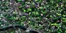
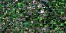
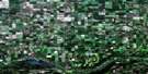
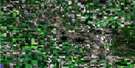
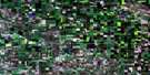
Crooked Lake Satellite Image Map
Download Free Aerial Photo 062L10 at 1:50,000 scale
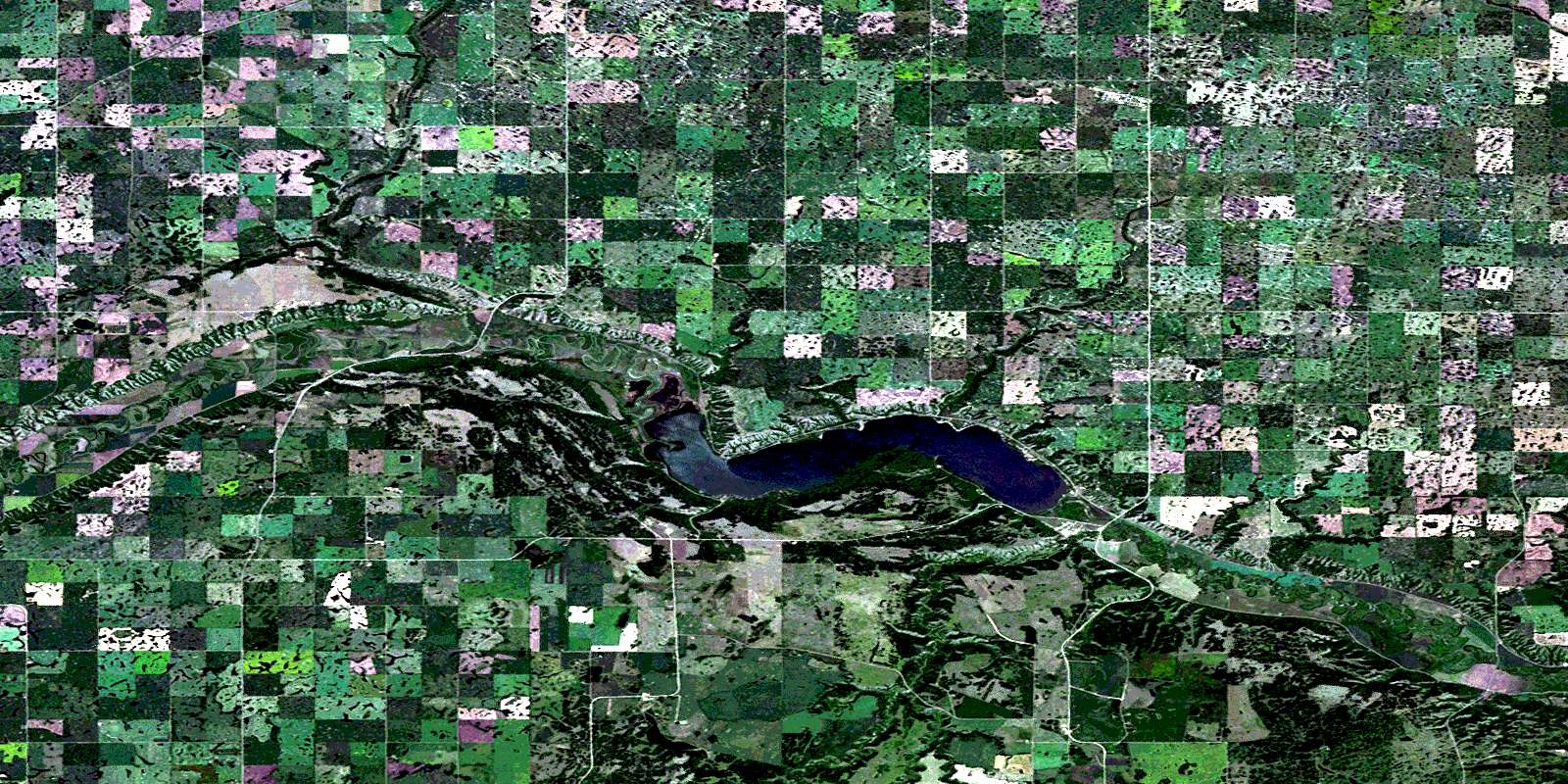
Crooked Lake Satellite Imagery
To view this satellite map, mouse over the air photo on the right.
You can also download this satellite image map for free:
062L10 Crooked Lake high-resolution satellite image map.
Maps for the Crooked Lake aerial map sheet 062L10 at 1:50,000 scale are also available in these versions:
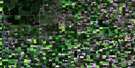
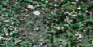
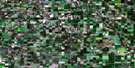
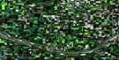
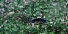
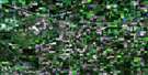
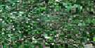
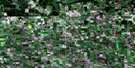
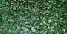
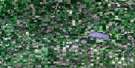
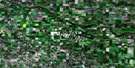
Crooked Lake Surrounding Area Aerial Photo Maps
 |
 |
 |
 |
 |
 |
 |
 |
 |
 |
 |
 |
 |
 |
 |
 |
© Department of Natural Resources Canada. All rights reserved.
Crooked Lake Gazetteer
The following places can be found on satellite image map 062L10 Crooked Lake:
Crooked Lake Satellite Image: Bays
Moose BayCrooked Lake Satellite Image: Beaches
Grenfell BeachMelville Beach
Crooked Lake Satellite Image: Hamlets
Moose BaySunset Beach
Crooked Lake Satellite Image: Indian Reserves
Cowessess 73Cowessess 73A
Kahkewistahaw 72
Ochapowace 71-19
Sakimay 74
Sakimay 74-12
Sakimay 74-16
Sakimay 74-17
Sakimay 74-2
Sakimay 74-9
Shesheep 74A
Crooked Lake Satellite Image: Lakes
Crooked LakeCrooked Lake Satellite Image: Other municipal/district area - miscellaneous
Elcapo No. 154Grayson No. 184
McLeod No. 185
Wolseley No. 155
Crooked Lake Satellite Image: Conservation areas
Crooked Lake (Greenspot) Provincial Recreation SiteCrooked Lake Provincial Park
Skinner's Wildlife Management Unit
Crooked Lake Satellite Image: Rivers
Ekapo CreekPearl Creek
Qu'Appelle River
Crooked Lake Satellite Image: Unincorporated areas
CothamGrenfell Beach
Hyde
Marieval
Crooked Lake Satellite Image: Villages
GraysonMelville Beach
© Department of Natural Resources Canada. All rights reserved.
