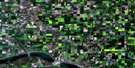
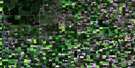
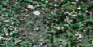
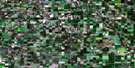
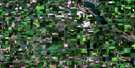
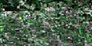
Indian Head Satellite Image Map
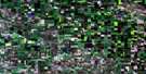
Download Free Aerial Photo 062L12 at 1:50,000 scale
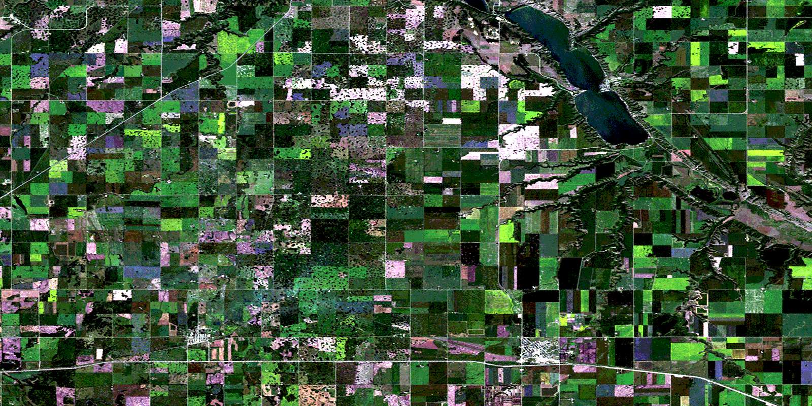
Indian Head Satellite Imagery
To view this satellite map, mouse over the air photo on the right.
You can also download this satellite image map for free:
062L12 Indian Head high-resolution satellite image map.
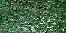
Maps for the Indian Head aerial map sheet 062L12 at 1:50,000 scale are also available in these versions:
Indian Head Surrounding Area Aerial Photo Maps
 |
 |
 |
 |
 |
 |
 |
 |
 |
 |
 |
 |
 |
 |
 |
 |
© Department of Natural Resources Canada. All rights reserved.
Indian Head Gazetteer
The following places can be found on satellite image map 062L12 Indian Head:
Indian Head Satellite Image: Hamlets
EdgeleyTaylor Beach
Indian Head Satellite Image: Indian Reserves
Carry The Kettle 76-18Carry The Kettle 76-19
Carry The Kettle Nakoda First Nation 76-17
Carry The Kettle Nakoda First Nation 76-29
Carry The Kettle Nakoda First Nation 76-31
Carry The Kettle Nakoda First Nation 76-32
Pasqua 79
Indian Head Satellite Image: Lakes
Katepwa LakeKatepwe Lake
Mission Lake
The Fishing Lakes
Indian Head Satellite Image: Other municipal/district area - miscellaneous
Abernethy No. 186Indian Head No. 156
North Qu'Appelle No. 187
South Qu'Appelle No. 157
Indian Head Satellite Image: Conservation areas
Indian Head Bird SanctuaryKatepwa Point Provincial Park
Katepwa Provincial Park
Lebret Recreation Site
Refuge d'oiseaux d'Indian-Head
Indian Head Satellite Image: Rivers
Echo CreekIndianhead Creek
Pheasant Creek
Qu'Appelle River
Redfox Creek
Springbrook Creek
Indian Head Satellite Image: Towns
Indian HeadQu'Appelle
Indian Head Satellite Image: Unincorporated areas
DingleyLake View Beach
Lakeside
Muscow
Winro
Indian Head Satellite Image: Villages
Katepwa BeachKatepwa South
Sandy Beach
© Department of Natural Resources Canada. All rights reserved.
