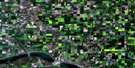
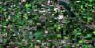
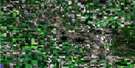
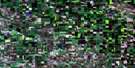
Fort Qu'Appelle Satellite Image Map
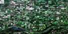
Download Free Aerial Photo 062L13 at 1:50,000 scale
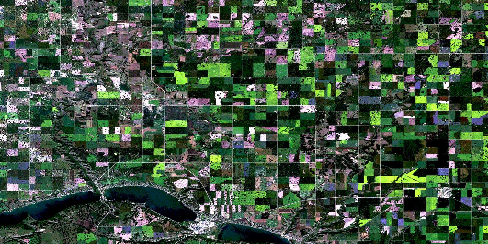
Fort Qu'Appelle Satellite Imagery
To view this satellite map, mouse over the air photo on the right.
You can also download this satellite image map for free:
062L13 Fort Qu'Appelle high-resolution satellite image map.
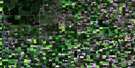
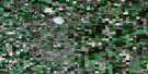
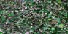
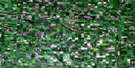
Maps for the Fort Qu'Appelle aerial map sheet 062L13 at 1:50,000 scale are also available in these versions:
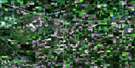
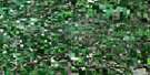
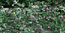
Fort Qu'Appelle Surrounding Area Aerial Photo Maps
 |
 |
 |
 |
 |
 |
 |
 |
 |
 |
 |
 |
 |
 |
 |
 |
© Department of Natural Resources Canada. All rights reserved.
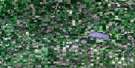
Fort Qu'Appelle Gazetteer
The following places can be found on satellite image map 062L13 Fort Qu'Appelle:
Fort Qu'Appelle Satellite Image: Hamlets
Pasqua LakeFort Qu'Appelle Satellite Image: Indian Reserves
Okanese 82(AA)Okanese 82(CC)
Okanese 82(X)
Okanese 82A
Okanese 82C
Okanese 82I
Okanese 82L
Standing Buffalo 78
Star Blanket 83B
Star Blanket 83C
Treaty Four Reserve Grounds 77
Wa-Pii Moos-Toosis (White Calf) 83A
Fort Qu'Appelle Satellite Image: Lakes
Church LakeEcho Lake
Mission Lake
Pasqua Lake
The Fishing Lakes
Fort Qu'Appelle Satellite Image: Other municipal/district area - miscellaneous
Abernethy No. 186Lipton No. 217
North Qu'Appelle No. 187
Tullymet No. 216
Fort Qu'Appelle Satellite Image: Conservation areas
Echo Valley Provincial ParkFort Qu'Appelle-Touchwood Hills Trail Historic Site
Lebret Recreation Site
Qu'Appelle Valley Legend Provincial Historic Site No. 1
Qu'Appelle Valley Legend Provincial Historic Site No. 2
Valley Centre Recreation Site
Fort Qu'Appelle Satellite Image: Plains
Touchwood UplandsFort Qu'Appelle Satellite Image: Rivers
Echo CreekJumping Deer Creek
Qu'Appelle River
Fort Qu'Appelle Satellite Image: River features
Sioux CrossingFort Qu'Appelle Satellite Image: Towns
BalcarresFort Qu'Appelle
Fort Qu'Appelle Satellite Image: Unincorporated areas
CottonHugonard
Muscow
Patrick
Fort Qu'Appelle Satellite Image: Villages
B-Say-TahFort San
Lebret
Lipton
North Echo
© Department of Natural Resources Canada. All rights reserved.
