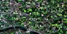
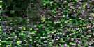
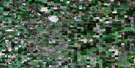
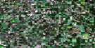
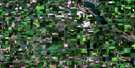
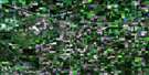
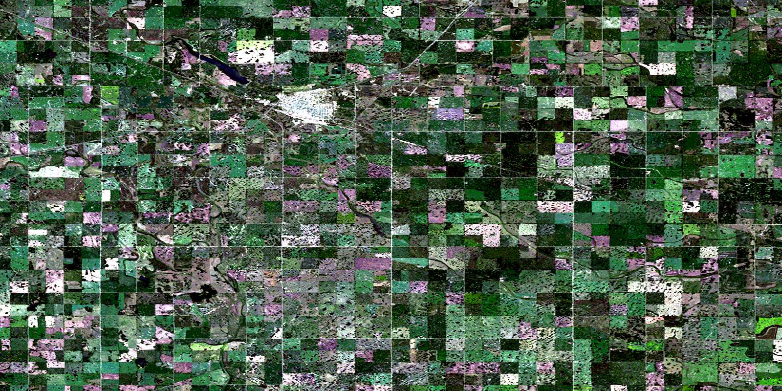
Melville Satellite Image Map
Download Free Aerial Photo 062L15 at 1:50,000 scale
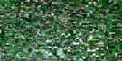
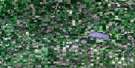
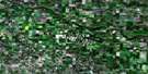
Melville Satellite Imagery
To view this satellite map, mouse over the air photo on the right.
You can also download this satellite image map for free:
062L15 Melville high-resolution satellite image map.
Maps for the Melville aerial map sheet 062L15 at 1:50,000 scale are also available in these versions:
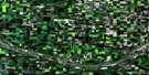
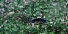
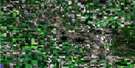
Melville Surrounding Area Aerial Photo Maps
 |
 |
 |
 |
 |
 |
 |
 |
 |
 |
 |
 |
 |
 |
 |
 |
© Department of Natural Resources Canada. All rights reserved.
Melville Gazetteer
The following places can be found on satellite image map 062L15 Melville:
Melville Satellite Image: City
MelvilleMelville Satellite Image: Hamlets
WestviewMelville Satellite Image: Indian Reserves
Sakimay 74-4Melville Satellite Image: Lakes
Surprise LakeMelville Satellite Image: Mountains
Pheasant HillsMelville Satellite Image: Other municipal/district area - miscellaneous
Cana No. 214Grayson No. 184
McLeod No. 185
Stanley No. 215
Melville Satellite Image: Conservation areas
Melville Game PreserveMelville Regional Park
Melville Satellite Image: Rivers
Crescent CreekKaposvar Creek
Pearl Creek
Melville Satellite Image: Unincorporated areas
BirminghamBirmingham Junction
Brewer
Cana
Cana Junction
Colmer
Melville Satellite Image: Villages
KillalyWaldron
© Department of Natural Resources Canada. All rights reserved.
