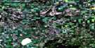
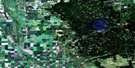
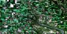
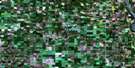
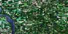
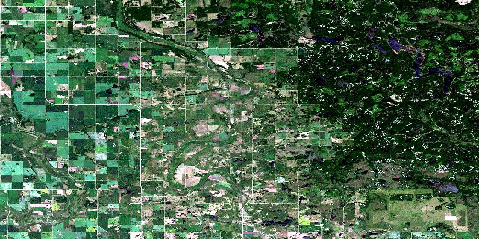
Burrows Lake Satellite Image Map
Download Free Aerial Photo 062N06 at 1:50,000 scale
Burrows Lake Satellite Imagery
To view this satellite map, mouse over the air photo on the right.
You can also download this satellite image map for free:
062N06 Burrows Lake high-resolution satellite image map.
Maps for the Burrows Lake aerial map sheet 062N06 at 1:50,000 scale are also available in these versions:
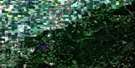
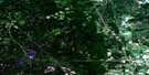
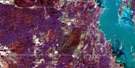
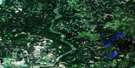
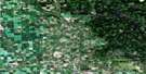
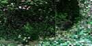
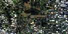
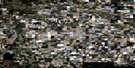
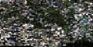
Burrows Lake Surrounding Area Aerial Photo Maps
 |
 |
 |
 |
 |
 |
 |
 |
 |
 |
 |
 |
 |
 |
 |
 |
© Department of Natural Resources Canada. All rights reserved.
Burrows Lake Gazetteer
The following places can be found on satellite image map 062N06 Burrows Lake:
Burrows Lake Satellite Image: Hydraulic construction
Upper DamBurrows Lake Satellite Image: Lakes
Ableson LakeAnderson Lake
Arm Lake
Bailey Lake
Barrier Lake
Barts Lake
Bath Lake
Bay Lake
Berth Lake
Beven Lake
Big Meadow Lake
Blanche Lake
Boomerang Lake
Boone Lake
Boundary Lake
Britchers Lake
Burrows Lake
Cabin Lake
Cecil Lake
Chain Lake
Chubb Lake
Chubb Lake
Clarke Lake
Claw Lake
Code Lake
Connon Lake
Correction Lakes
Cowan Lake
Craiginnan Lake
Crerar Lake
Crooked Lake
Dark Lake
Deep Lake
Deering Lakes
Dew Lake
Dollar Lake
Double Lake
Drum Lake
Dry Lake
East Angling Lake
Elbow Lake
Emerald Lake
Ermine Lake
Flatfoot Lake
Hark Lake
Highland Lake
Holdstock Lake
Holm Lake
Home Lake
Hrynchuk Lake
Hudson Bay Lake
Jackfish Lake
Johnson Lake
Kelly Island Lake
Kennedy Lake
Kennedy Lakes
Klemecki Lake
Lloyd Lakes
Lorne Lake
Lunch Lake
Mallard Lake
Manitoba Lake
Manson Lake
McBride Lakes
McBride Lakes
McColm Lake
Menzul Lake
Mitchell Lake
Moon Lake
Moose Lake
Moze Lake
Newman Lakes
North Angling Lake
North Lunch Lake
Orm Lake
Peninsula Lake
Phoneline Lake
Pike Lake
Pike Lake
Pye Lake
Rag Lake
Ramsey Lakes
Ranch Lake
Reeds Lake
Reedy Lake
Reubens Lake
Rooster Lake
Roy Lake
Rush Lake
Shany Lake
Shepton Lake
Sifton Lake
Sinnott Lake
Sjolin Lake
Smart Lake
Soldier Lake
South Angling Lake
South Fish Lake
Spring Lake
Spur Lake
Start Lake
Stephens Lake
Tamarack Lake
Tank Lake
Torowski Lake
Track Lake
Twilight Lake
Twilight Lakes
Vera Lake
Walker Lake
West Angling Lake
West Shanty Lake
Yaap Lake
Burrows Lake Satellite Image: Mountains
Duck MountainBurrows Lake Satellite Image: Other municipal/district area - miscellaneous
HillsburgShell River
Burrows Lake Satellite Image: Conservation areas
Duck Mountain Provincial ForestDuck Mountain Provincial Park
Duck Mountain Wildlife Refuge
Burrows Lake Satellite Image: Rivers
Big Boggy CreekDark Lake Creek
Jump Creek
Line Creek
Shell River
Short Creek
Sucker Creek
Valley River
Burrows Lake Satellite Image: Unincorporated areas
DeepdaleDuck Mountain
McLean
Merridale
San Clara
Silverwood
Zelena
Burrows Lake Satellite Image: Low vegetation
Anderson MeadowHorseshoe Meadow
Shiners Meadow
© Department of Natural Resources Canada. All rights reserved.
