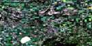
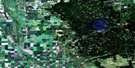
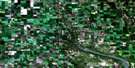
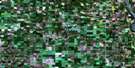
Baldy Mountain Satellite Image Map
Download Free Aerial Photo 062N07 at 1:50,000 scale
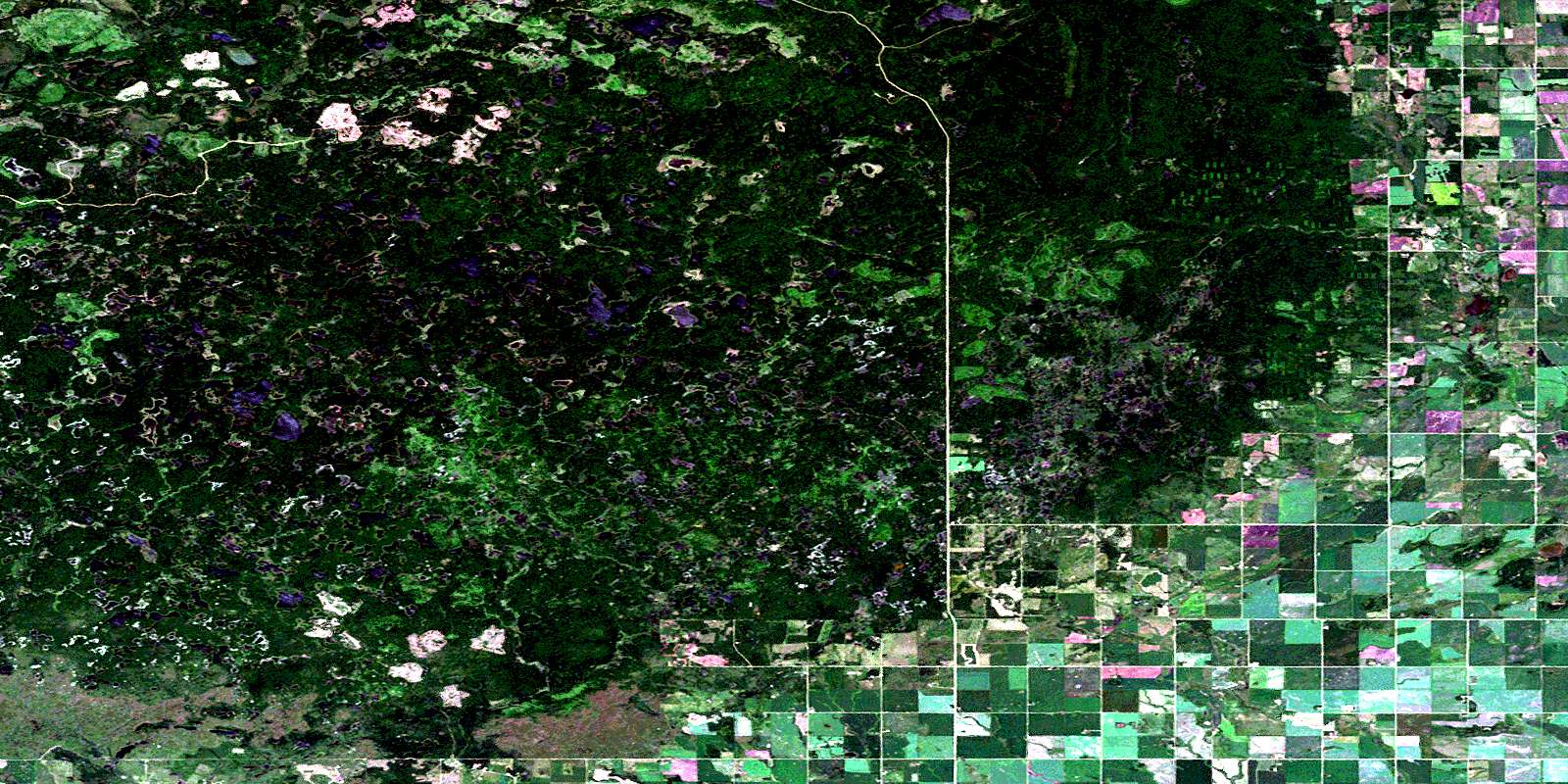
Baldy Mountain Satellite Imagery
To view this satellite map, mouse over the air photo on the right.
You can also download this satellite image map for free:
062N07 Baldy Mountain high-resolution satellite image map.
Maps for the Baldy Mountain aerial map sheet 062N07 at 1:50,000 scale are also available in these versions:
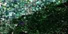
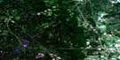
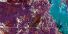
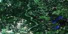
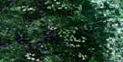
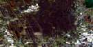
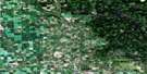
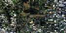
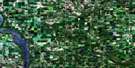
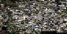
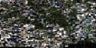
Baldy Mountain Surrounding Area Aerial Photo Maps
 |
 |
 |
 |
 |
 |
 |
 |
 |
 |
 |
 |
 |
 |
 |
 |
© Department of Natural Resources Canada. All rights reserved.
Baldy Mountain Gazetteer
The following places can be found on satellite image map 062N07 Baldy Mountain:
Baldy Mountain Satellite Image: Indian Reserves
Valley River 63ABaldy Mountain Satellite Image: Lakes
Big McVey LakeBlack Spruce Lake
Boundary Lake
Carrot Lake
Cat Shed Lake
Corner Lake
Crescent Lake
Dalgleish Lake
Dead Birch Lake
Dead Horse Lake
Dead Man Lake
Duck Lake
East Crescent Lake
Echo Lake
Egg Lake
Fifteen Lakes
Hornet Lake
Island Lake
Jack Pine Lake
Jackfish Lake
Jellyfish Lake
King Lake
Little Island Lake
Little McVey Lake
Little Tank Lake
Mink Lake
Minton Lake
Mulligan Lake
Nixon Lake
Olsen Lake
Pearl Lake
Pipe Lake
Prairie Lake
Rattlesnake Lake
Rochester Lake
Rubber Lake
Sandys Lake
Shanty Lake
Slash Lake
Slyziuk Lake
Sopkiw Lake
South Corner Lake
Sparks Lake
Spectacles Lake
Spiders Lake
Spring Lake
Start Lake
Stony Lake
Sucker Lake
Triple Lake
Winding Lake
Wing Lake
Wolf Lake
Baldy Mountain Satellite Image: Mountains
(The) Sleeping GiantsBaldy Mountain
Duck Mountain
Ethelbert Hill
Levins Hill
The Sleeping Giants
Baldy Mountain Satellite Image: Other municipal/district area - miscellaneous
HillsburgBaldy Mountain Satellite Image: Conservation areas
Duck Mountain Provincial ForestDuck Mountain Provincial Park
Duck Mountain Wildlife Refuge
Baldy Mountain Satellite Image: Rivers
Bear CreekDrifting River
Elk Lake Creek
Fishing River
Mink Creek
Mink River
Rattlesnake Creek
Shanty Creek
Silver Creek
Sulphurspring Creek
Valley River
Baldy Mountain Satellite Image: Unincorporated areas
Drifting RiverFishing River
Grifton
Spring Creek
© Department of Natural Resources Canada. All rights reserved.
