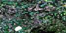
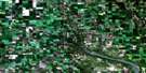
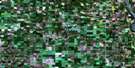
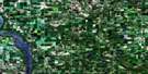
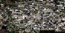
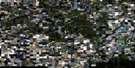
Kamsack Satellite Image Map
Download Free Aerial Photo 062N12 at 1:50,000 scale
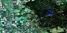
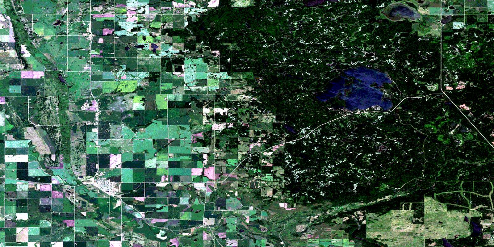
Kamsack Satellite Imagery
To view this satellite map, mouse over the air photo on the right.
You can also download this satellite image map for free:
062N12 Kamsack high-resolution satellite image map.
Maps for the Kamsack aerial map sheet 062N12 at 1:50,000 scale are also available in these versions:
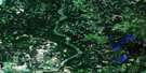
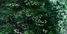
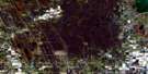
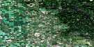
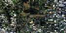
Kamsack Surrounding Area Aerial Photo Maps
 |
 |
 |
 |
 |
 |
 |
 |
 |
 |
 |
 |
 |
 |
 |
 |
© Department of Natural Resources Canada. All rights reserved.
Kamsack Gazetteer
The following places can be found on satellite image map 062N12 Kamsack:
Kamsack Satellite Image: Bays
East BayPelly Bay
Kamsack Satellite Image: Beaches
Benito BeachJubilee Beach
Kamsack Beach
Ministik Beach
Kamsack Satellite Image: Indian Reserves
Cote 64Keeseekoose 66
Keeseekoose 66-St-02
Keeseekoose 66-St-03
Keeseekoose Kk 66-ST-04
Kamsack Satellite Image: Islands
Miles IslandKamsack Satellite Image: Lakes
Agnes LakeBatka Lake
Batka Lake
Bear Head Lake
Bear Head Lake
Benson Lake
Bird Lake
Bonus Lake
Boomerang Lake
Borland Lake
Carmichael Lake
Chernoff Lake
Crowfoot Lake
Cucumber Lake
Dell Lake
Dry Meadow Lake
Green Lake
Harold Lake
Jackfish Lake
Ketchamonia Lake
Ketchemonia Lake
Kihi Lake
Kipp Lake
Kipp Lake
Lamb Lake
Lang Lake
Lilley Lake
Madge Lake
Mona Lake
Moose Lake
Nash Lake
Roe Lake
Roper Lake
Rotten Lake
Rundle Lake
Seargeant Lake
Selwood Lake
Sergeant Lake
Slip Lake
Smith Lake
Spruce Lake
Twill Lake
Yellow Lake
Kamsack Satellite Image: Mountains
Duck MountainDuck Mountain
Kamsack Satellite Image: Other municipal/district area - miscellaneous
Cote No. 271St. Philips No. 301
Swan River
Kamsack Satellite Image: Conservation areas
Duck Mountain Provincial ForestDuck Mountain Provincial Forest
Duck Mountain Provincial Park
Duck Mountain Provincial Park
Duck Mountain Regional Park
Kamsack Satellite Image: Rivers
Assiniboine RiverAssiniboine River
Bear Head Creek
Bear Head Creek
Big Boggy Creek
Big Boggy Creek
Clearwater Creek
Kamsack Creek
Little Boggy Creek
Little Boggy Creek
North Two Creek
South Two Creek
Watts Creek
Whitesand River
Kamsack Satellite Image: Towns
KamsackKamsack Satellite Image: Unincorporated areas
BadgervilleCoté
Hillside
Kamsack Beach
Ministik Beach
Springside
St. Philips
© Department of Natural Resources Canada. All rights reserved.
