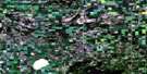
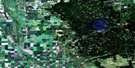
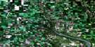
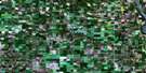
Durban Satellite Image Map
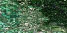
Download Free Aerial Photo 062N14 at 1:50,000 scale
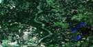
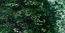
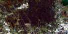
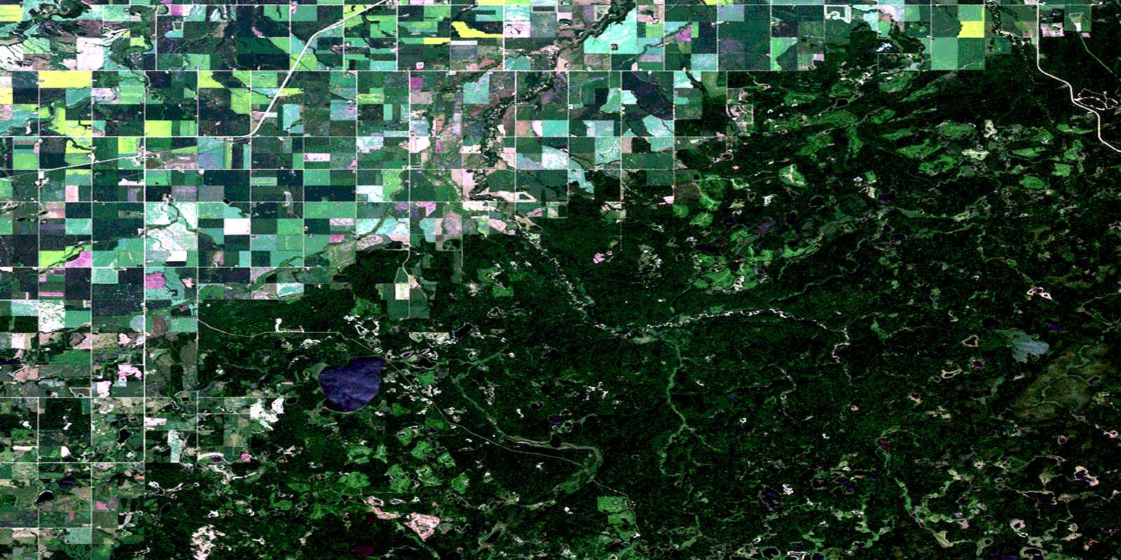
Durban Satellite Imagery
To view this satellite map, mouse over the air photo on the right.
You can also download this satellite image map for free:
062N14 Durban high-resolution satellite image map.
Maps for the Durban aerial map sheet 062N14 at 1:50,000 scale are also available in these versions:
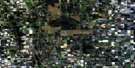
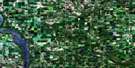
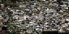
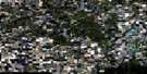
Durban Surrounding Area Aerial Photo Maps
 |
 |
 |
 |
 |
 |
 |
 |
 |
 |
 |
 |
 |
 |
 |
 |
© Department of Natural Resources Canada. All rights reserved.
Durban Gazetteer
The following places can be found on satellite image map 062N14 Durban:
Durban Satellite Image: Lakes
Beaver PondBen Lake
Big Bobs Lake
Big Bud Lake
Big Fuller Lake
Brass Lake
Breckon Lake
Bud Lake
Burr Lake
Burr Lake
Buttocks Lake
Cabin Lake
Corner Lake
East Tee Lake
Ernies Lake
Finch Lake
Finlay Lake
First Lake
Gameline Lake
Harvey Lake
Island Lake
Little Bobs Lake
Little Bud Lake
Little Fuller Lake
Long Lake
Lunsted Lake
Mallard Lake
McGaw Lake
Morning Lake
North Lake
Olive Lake
Robinson Lake
Robinson Lake
Round Lake
Ruby Lakes
Sarah Lake
Schifferley Lake
Second Lake
Sedgewick Lake
Stump Lake
Tee Isle Lake
Tee Lakes
Third Lake
Durban Satellite Image: Mountains
Brown HillDuck Mountain
Fuller Hills
Heart Hill
Moose Hill
Durban Satellite Image: Other municipal/district area - miscellaneous
MinitonasSwan River
Durban Satellite Image: Conservation areas
Duck Mountain Provincial ForestDuck Mountain Provincial Park
Duck Mountain Wildlife Refuge
Durban Satellite Image: Plains
Jumper PlainsDurban Satellite Image: Rivers
Brush CreekDoe Lake Creek
East Favel River
Favel River
Favell River
Fuller Creek
Hay Creek
Jamieson Creek
Keillor Creek
Ketchum Creek
Line Creek
Little River
Lobstick Creek
McGaw Creek
Minitonas Creek
Prairie Creek
Roaring River
Ruby Creek
Ruby River
Ruby River
Sarah Creek
Swan River
Teepee Creek
Thomas Creek
West Favel River
West Ruby Creek
West Shell River
Willow Creek
Durban Satellite Image: Unincorporated areas
AlpineDurban
Kenville
Kenville West
Pretty Valley
Durban Satellite Image: Valleys
Big RavineRoaring River Canyon
Durban Satellite Image: Low vegetation
Brush Creek SwampFirst Prairie
River Prairie
Three Way Swamp
© Department of Natural Resources Canada. All rights reserved.
