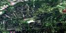
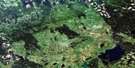
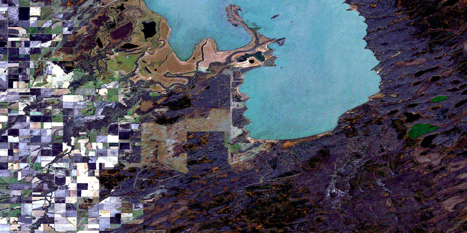
Lenswood Satellite Image Map
Download Free Aerial Photo 063C07 at 1:50,000 scale
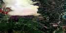
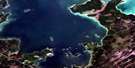
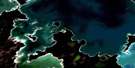
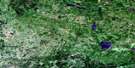
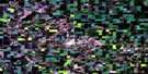
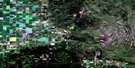
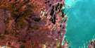
Lenswood Satellite Imagery
To view this satellite map, mouse over the air photo on the right.
You can also download this satellite image map for free:
063C07 Lenswood high-resolution satellite image map.
Maps for the Lenswood aerial map sheet 063C07 at 1:50,000 scale are also available in these versions:
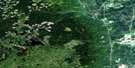
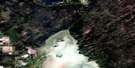
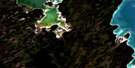
Lenswood Surrounding Area Aerial Photo Maps
 |
 |
 |
 |
 |
 |
 |
 |
 |
 |
 |
 |
 |
 |
 |
 |
© Department of Natural Resources Canada. All rights reserved.
Lenswood Gazetteer
The following places can be found on satellite image map 063C07 Lenswood:
Lenswood Satellite Image: Bays
Hay River BaySouth Bay
Spruce Bluff Bay
West Bay
Lenswood Satellite Image: Capes
Big Line PointFlat Stone Point
Hunters Point
Last Point
Mission Point
Sharp Point
Smooth Rock Point
Spruce Bluff Point
Stony Point
Swan River Point
Twin Points
Lenswood Satellite Image: Forests
Leasks BluffPierres Bluff
Lenswood Satellite Image: Hydraulic construction
Brandt DrainCommunity Pasture Drain
Kitzul Drain
Lalecheur Drain
McKinley Drain
Russenholt Drain
Schlagg Drain
Lenswood Satellite Image: Indian Reserves
Swan Lake 65CWuskwi Sipihk First Nation 3f
Wuskwi Sipihk No. 7
Lenswood Satellite Image: Islands
Spences IslandLenswood Satellite Image: Lakes
Atwins LakeBeaver Lake
Caldon Lake
Connolly Lakes
Deep Hill Lake
Duck Lake
Heatley Lake
Levis Lake
Little Duck Lake
Little Muskeg Lake
Moccasin Lake
North Twin Lake
Plum Lake
Road Crossing Lake
Rubber Lake
Rush Lake
South Twin Lake
Swan Lake
Lenswood Satellite Image: Mountains
Kettle HillsLenswood Satellite Image: Other municipal/district area - miscellaneous
MinitonasMountain
Lenswood Satellite Image: Conservation areas
Kettle Stones Provincial Heritage ParkKettle Stones Provincial Park
Swan Lake Game Bird Refuge
Swan-Pelican Provincial Forest
Swan-Pelican Wildlife Refuge
Lenswood Satellite Image: Rivers
Big CreekBig Line Creek
Birch River
Caldon River
Crockett Creek
Dolaine Creek
Fishtown Creek
Hay River
Indian Birch River
Kirk Creek
Martin Creek
McLure Creek
Never Freeze Creek
Poplar Creek
Rat Creek
Salt Creek
Swan River
Swede Creek
Woody River
Lenswood Satellite Image: Unincorporated areas
LenswoodLenswood Satellite Image: Low vegetation
Munro SloughNykyforak Slough
Sugar Slough
© Department of Natural Resources Canada. All rights reserved.
063C Related Maps:
063C Swan Lake063C01 Duck Bay
063C02 Renwer
063C03 Swan River
063C04 Thunder Hill
063C05 Townsend Lake
063C06 Birch River
063C07 Lenswood
063C08 Magnolia Lake
063C09 Kircro Lake
063C10 Pelican Rapids
063C11 Mafeking
063C12 Armit Lake
063C13 Roscoe
063C14 Barrows
063C15 Dawson Bay
063C16 Pelican Bay
