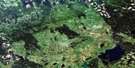
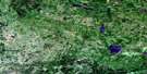
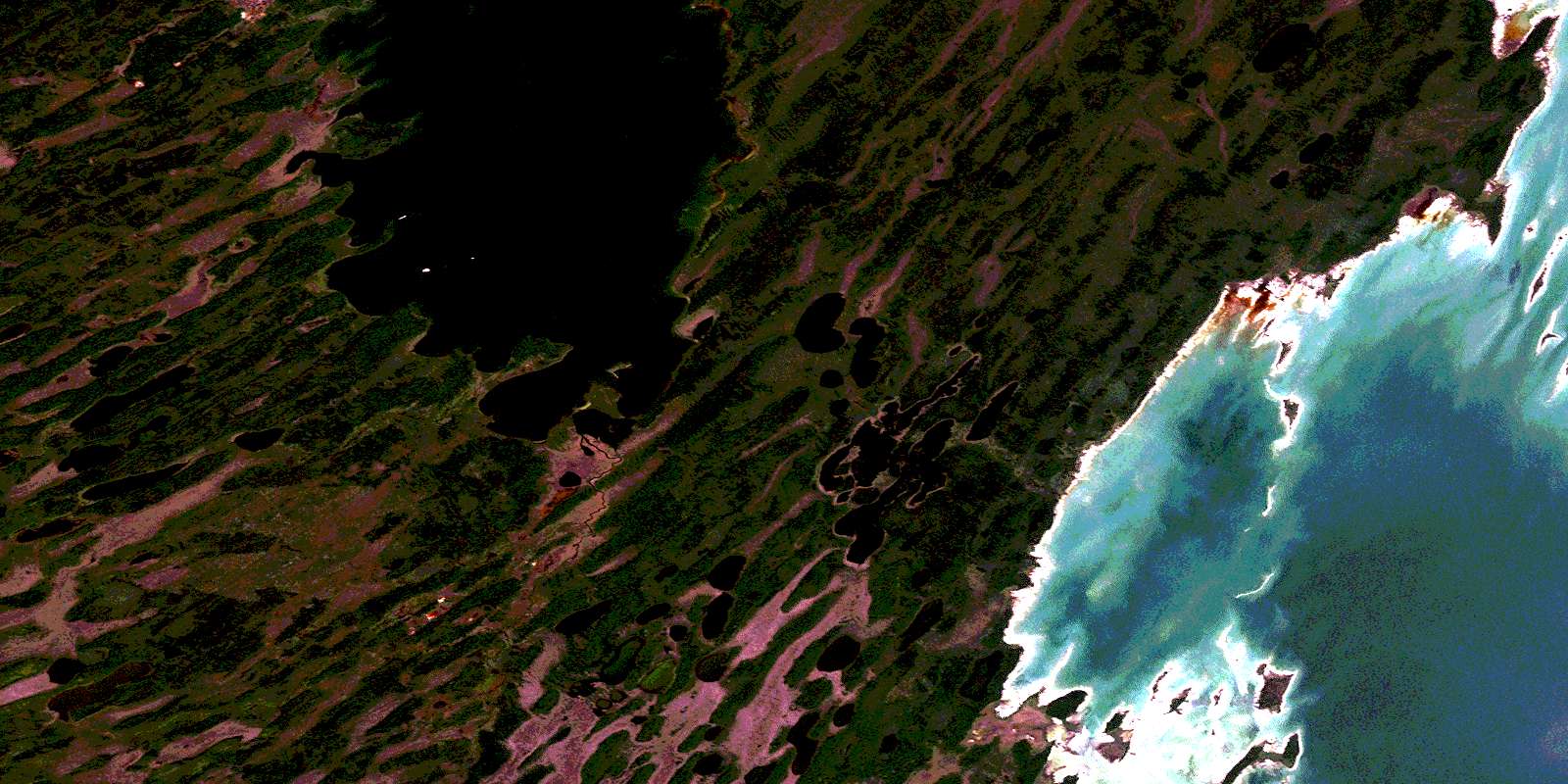
Magnolia Lake Satellite Image Map
Download Free Aerial Photo 063C08 at 1:50,000 scale
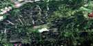
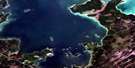
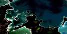
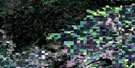
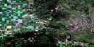
Magnolia Lake Satellite Imagery
To view this satellite map, mouse over the air photo on the right.
You can also download this satellite image map for free:
063C08 Magnolia Lake high-resolution satellite image map.
Maps for the Magnolia Lake aerial map sheet 063C08 at 1:50,000 scale are also available in these versions:
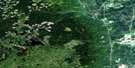
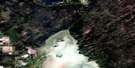
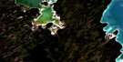
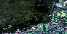
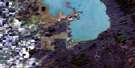
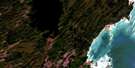
Magnolia Lake Surrounding Area Aerial Photo Maps
 |
 |
 |
 |
 |
 |
 |
 |
 |
 |
 |
 |
 |
 |
 |
 |
© Department of Natural Resources Canada. All rights reserved.
Magnolia Lake Gazetteer
The following places can be found on satellite image map 063C08 Magnolia Lake:
Magnolia Lake Satellite Image: Bays
Big BayDog Point Bay
Nealeys Bay
Staple Island Bay
Magnolia Lake Satellite Image: Capes
Base Line PointChartrands Point
Dog Point
Little Graveyard Point
Moose Drive Point
Nealeys Point
West Poplar Point
Magnolia Lake Satellite Image: Islands
Blue Heron IslandCamping Islands
Cygnus Island
Dog Island
Dunoya Island
Gull Island
Half Moon Island
Nealey Island
Nealeys Islands
North Camping Island
North Camping Island Rock Pile
Pelican Island
Sand Island
Sealey Island
South Camping Island
West Camping Island
Magnolia Lake Satellite Image: Lakes
Albion LakeBrocom Lake
Broken Stove Lake
Constance Lake
Coulter Lake
Coulter Lakes
Deitch Lake
Delaronde Lake
Emerald Lake
Erskine Lake
Ghetic Lake
Hamel Lake
Hamilton Lake
Heslop Lake
Holditch Lake
Hughes Lake
Lac Winnipegosis
Lake Winnipegosis
Magnolia Lake
Melrose Lake
Minerva Lake
Moffat Lake
Moore Lake
Morton Lake
Neldin Lake
Never Freeze Lake
Nomad Lake
North Neldin Lake
Nott Lake
Orb Lake
Orb Lakes
Pelican Lake
Prospect Lake
Rubber Lake
Snider Lake
South Neldin Lake
Tecumseh Lake
Tuxedo Lake
Vansickle Lake
West Neldin Lake
Magnolia Lake Satellite Image: Conservation areas
Swan-Pelican Provincial ForestSwan-Pelican Wildlife Refuge
Magnolia Lake Satellite Image: Rivers
Big Line CreekNever Freeze Creek
Papoose Channel
Pelican River
© Department of Natural Resources Canada. All rights reserved.
063C Related Maps:
063C Swan Lake063C01 Duck Bay
063C02 Renwer
063C03 Swan River
063C04 Thunder Hill
063C05 Townsend Lake
063C06 Birch River
063C07 Lenswood
063C08 Magnolia Lake
063C09 Kircro Lake
063C10 Pelican Rapids
063C11 Mafeking
063C12 Armit Lake
063C13 Roscoe
063C14 Barrows
063C15 Dawson Bay
063C16 Pelican Bay
