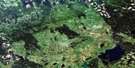
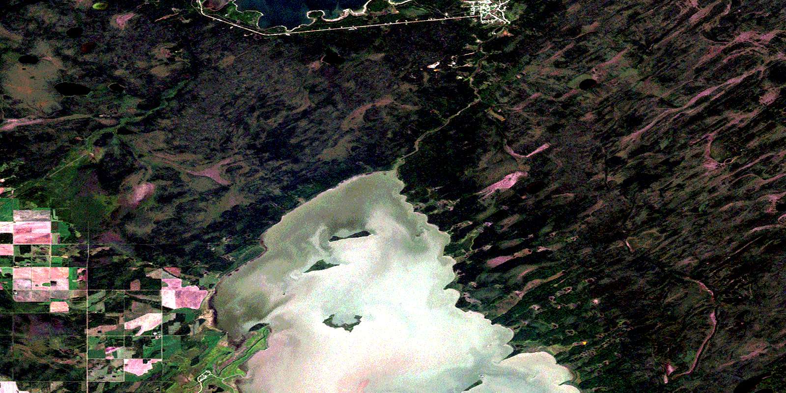
Pelican Rapids Satellite Image Map
Download Free Aerial Photo 063C10 at 1:50,000 scale
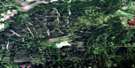
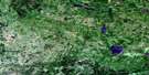
Pelican Rapids Satellite Imagery
To view this satellite map, mouse over the air photo on the right.
You can also download this satellite image map for free:
063C10 Pelican Rapids high-resolution satellite image map.
Maps for the Pelican Rapids aerial map sheet 063C10 at 1:50,000 scale are also available in these versions:
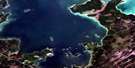
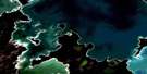
Pelican Rapids Surrounding Area Aerial Photo Maps
 |
 |
 |
 |
 |
 |
 |
 |
 |
 |
 |
 |
 |
 |
 |
 |
© Department of Natural Resources Canada. All rights reserved.
Pelican Rapids Gazetteer
The following places can be found on satellite image map 063C10 Pelican Rapids:
Pelican Rapids Satellite Image: Bays
Ash BayBell River Bay
Little Rock Bay
Old Buildings Bay
Shoal River Bay
Pelican Rapids Satellite Image: Capes
Ash PointBeartrap Point
Bluff Point
Blunt Point
Ferlands Point
Four Roses Point
Indian Birch Point
Jumping Point
Little Rock Point
Little Stone Ridge Point
Long Point
Oak Point
Stone Ridge Point
Zero Point
Pelican Rapids Satellite Image: Indian Reserves
Dawson Bay Indian Reserve 65APelican Rapids Access Road Phase 1
Réserve indienne Dawson Bay 65A
Shoal River 65A
Swan Lake 65C
Wuskwi Sipihk 4
Wuskwi Sipihk First Nation 1
Wuskwi Sipihk First Nation 3a
Wuskwi Sipihk First Nation 3b
Wuskwi Sipihk First Nation 3c
Wuskwi Sipihk First Nation 3d
Wuskwi Sipihk First Nation 3e
Pelican Rapids Satellite Image: Islands
Ash IslandCranberry Island
Elm Island
MacKay Island
Middle Island
Munro Island
Old Buildings Island
Rose Island
Twin Islands
Pelican Rapids Satellite Image: Lakes
Atwins LakeCorner Lake
Duck Lake
Gods Lake
Heschuk Lake
Lac Winnipegosis
Lake Winnipegosis
Line Lake
Lone Lake
Slough Lake
Swan Lake
Thirty One Lake
Pelican Rapids Satellite Image: Mountains
Gods Hill RidgePelican Rapids Satellite Image: Other municipal/district area - miscellaneous
MountainPelican Rapids Satellite Image: Conservation areas
Swan-Pelican Provincial ForestSwan-Pelican Wildlife Refuge
Pelican Rapids Satellite Image: Rivers
Bell CreekBell River
Indian Birch River
Little Hay Creek
Lone Creek
Middle Salt Creek
Stapely Creek
Wawayanagan River
Woody River
Pelican Rapids Satellite Image: Springs
Big Bones SpringPelican Rapids Satellite Image: Unincorporated areas
Indian BirchPelican Rapids
Shoal River
© Department of Natural Resources Canada. All rights reserved.
063C Related Maps:
063C Swan Lake063C01 Duck Bay
063C02 Renwer
063C03 Swan River
063C04 Thunder Hill
063C05 Townsend Lake
063C06 Birch River
063C07 Lenswood
063C08 Magnolia Lake
063C09 Kircro Lake
063C10 Pelican Rapids
063C11 Mafeking
063C12 Armit Lake
063C13 Roscoe
063C14 Barrows
063C15 Dawson Bay
063C16 Pelican Bay
