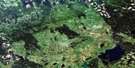
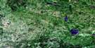
Mafeking Satellite Image Map
Download Free Aerial Photo 063C11 at 1:50,000 scale
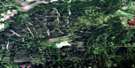
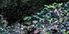
Mafeking Satellite Imagery
To view this satellite map, mouse over the air photo on the right.
You can also download this satellite image map for free:
063C11 Mafeking high-resolution satellite image map.
Maps for the Mafeking aerial map sheet 063C11 at 1:50,000 scale are also available in these versions:
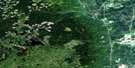
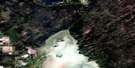
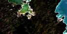
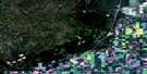
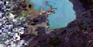
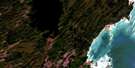
Mafeking Surrounding Area Aerial Photo Maps
 |
 |
 |
 |
 |
 |
 |
 |
 |
 |
 |
 |
 |
 |
 |
 |
© Department of Natural Resources Canada. All rights reserved.
Mafeking Gazetteer
The following places can be found on satellite image map 063C11 Mafeking:
Mafeking Satellite Image: Indian Reserves
Wuskwi Sipihk 5Wuskwi Sipihk 6
Wuskwi Sipihk 8
Mafeking Satellite Image: Islands
Gill IslandSomcynsky Island
Mafeking Satellite Image: Lakes
Arch LakeBear Paw Lake
Beaver Dam Lake
Bell Lake
Big Rock Lake
Border Lake
Caboose Lake
Centre Lake
Christmas Lake
Deep Lake
Dirty Water Lake
Dyer Lake
East Rice Lake
Erics Lake
Fagnan Lake
Fisher Lake
Fishing Lake
Foster Lake
Garlic Lake
Gass Lake
Genaille Lake
Goulin Lake
Hoodoo Lake
Johnson Lake
Koons Lake
Lagace Lakes
Lost Lake
Lucky Lake
Moosehead Lake
Nick Lake
North Lake
North Steeprock Lake
Porath Lake
Pup Lake
Red Shack Lake
Rhubarb Lake
Ridge Lake
Rutledge Lake
Schade Lake
Severns Lake
Silt Lake
Skull Lake
Snail Lake
South Steeprock Lake
Spider Lake
Spoon Lake
Steeprock Lakes
Steeprock Lakes
Vini Lake
Virgin Lake
West Rice Lake
Whites Lake
Willow Lake
Woody Lake
Youngs Lakes
Mafeking Satellite Image: Mountains
Porcupine HillsSable Mountain
Mafeking Satellite Image: Other municipal/district area - miscellaneous
MountainMafeking Satellite Image: Conservation areas
Bell Lake Provincial ParkNorth Steeprock Lake Provincial Park
Porcupine Provincial Forest
Steeprock Lake Park
Mafeking Satellite Image: Rivers
Beaver CreekBell River
Campbell Creek
Fishing Lake Creek
Glover Creek
Little Woody River
Moose Creek
Morgan Creek
Rice River
Rogers Creek
Steeprock River
Ward Creek
Wilson Creek
Mafeking Satellite Image: Unincorporated areas
BellsiteMafeking
Novra
Whitmore
Mafeking Satellite Image: Low vegetation
Moose Meadows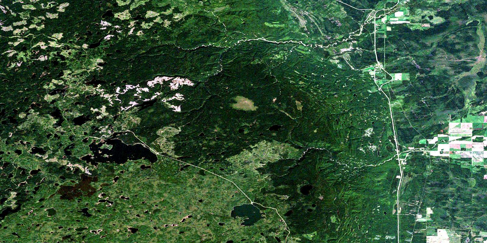
© Department of Natural Resources Canada. All rights reserved.
063C Related Maps:
063C Swan Lake063C01 Duck Bay
063C02 Renwer
063C03 Swan River
063C04 Thunder Hill
063C05 Townsend Lake
063C06 Birch River
063C07 Lenswood
063C08 Magnolia Lake
063C09 Kircro Lake
063C10 Pelican Rapids
063C11 Mafeking
063C12 Armit Lake
063C13 Roscoe
063C14 Barrows
063C15 Dawson Bay
063C16 Pelican Bay
