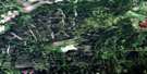
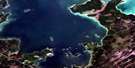
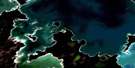
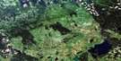
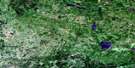
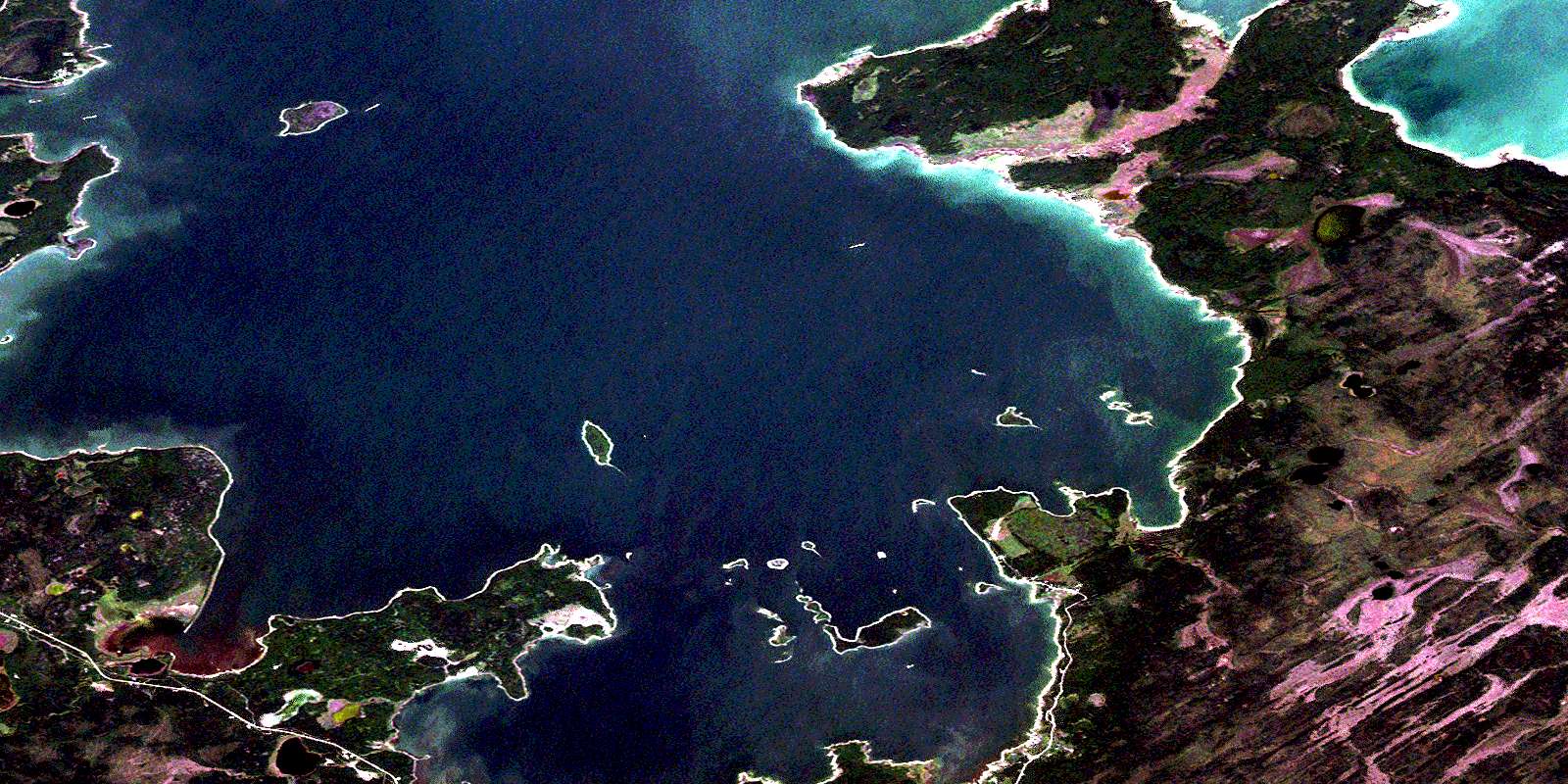
Dawson Bay Satellite Image Map
Download Free Aerial Photo 063C15 at 1:50,000 scale
Dawson Bay Satellite Imagery
To view this satellite map, mouse over the air photo on the right.
You can also download this satellite image map for free:
063C15 Dawson Bay high-resolution satellite image map.
Maps for the Dawson Bay aerial map sheet 063C15 at 1:50,000 scale are also available in these versions:
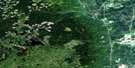
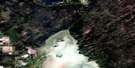
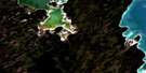
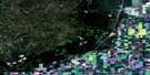
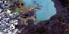
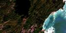
Dawson Bay Surrounding Area Aerial Photo Maps
 |
 |
 |
 |
 |
 |
 |
 |
 |
 |
 |
 |
 |
 |
 |
 |
© Department of Natural Resources Canada. All rights reserved.
Dawson Bay Gazetteer
The following places can be found on satellite image map 063C15 Dawson Bay:
Dawson Bay Satellite Image: Bays
Bell River BayBoss Bay
Burrell Bay
Cameron Bay
Dawson Bay
Mason Bay
Mill Bay
Point River Bay
Salt River Bay
Shoal River Bay
Smith Bay
Steeprock Bay
Dawson Bay Satellite Image: Capes
Bakers PointBeardys Point
Birch Point
Boss Point
Bradley Cook Point
Grassy Point
Grave Point
Graves Point
Ice House Point
Little Denbeigh Point
Mason Point
Nason Point
Ollies Point
Salt Point
Simons Point
Smith Point
Snake Point
Steeprock Point
Steeprock Point
The Bluff
Vance Point
Whiteaves Point
Whitefish Point
Willow Point
Dawson Bay Satellite Image: Indian Reserves
Dawson Bay Indian Reserve 65BDawson Bay Indian Reserve 65F
Réserve indienne Dawson Bay 65B
Réserve indienne Dawson Bay 65F
Sapotaweyak Cree Nation
Shoal River 65A
Shoal River 65B
Shoal River 65F
Dawson Bay Satellite Image: Islands
Archie IslandArchies Island
Balabas Island
Blackbird Island
Bluff Island
Dog Island
Garden Island
Half Moon Island
Harbour Island
Mason Island
Rock Island
Rowan Island
Shorty Island
Shortys Island
Simon Island
Simons Island
Sugar Island
The Gobbler
Dawson Bay Satellite Image: Lakes
Bradburys LakeCentre Lake
East Salt Lake
German Lake
Lac Winnipegosis
Lake Winnipegosis
McLennan Lake
Sausage Lake
Swamp Lake
Toe Lake
Two Mile Lake
Dawson Bay Satellite Image: Mountains
The Big RockDawson Bay Satellite Image: Other municipal/district area - miscellaneous
MountainDawson Bay Satellite Image: Conservation areas
Steeprock River Provincial Recreation ParkSteeprock Wildlife Management Area
Swan-Pelican Provincial Forest
Swan-Pelican Wildlife Refuge
Dawson Bay Satellite Image: Rivers
Centre CreekGerman Creek
Point River
Salt River
Shoal River
Steeprock River
Swamp Creek
Dawson Bay Satellite Image: Shoals
Angus ReefBig Reef
Crab Reef
Little Reef
Mason Reef
Simons Reef
Vance Reef
Dawson Bay Satellite Image: Springs
Red SpringDawson Bay Satellite Image: Unincorporated areas
Dawson BayShoal River
Dawson Bay Satellite Image: Low vegetation
Moose MeadowsSteeprock Marsh
© Department of Natural Resources Canada. All rights reserved.
063C Related Maps:
063C Swan Lake063C01 Duck Bay
063C02 Renwer
063C03 Swan River
063C04 Thunder Hill
063C05 Townsend Lake
063C06 Birch River
063C07 Lenswood
063C08 Magnolia Lake
063C09 Kircro Lake
063C10 Pelican Rapids
063C11 Mafeking
063C12 Armit Lake
063C13 Roscoe
063C14 Barrows
063C15 Dawson Bay
063C16 Pelican Bay
