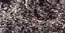
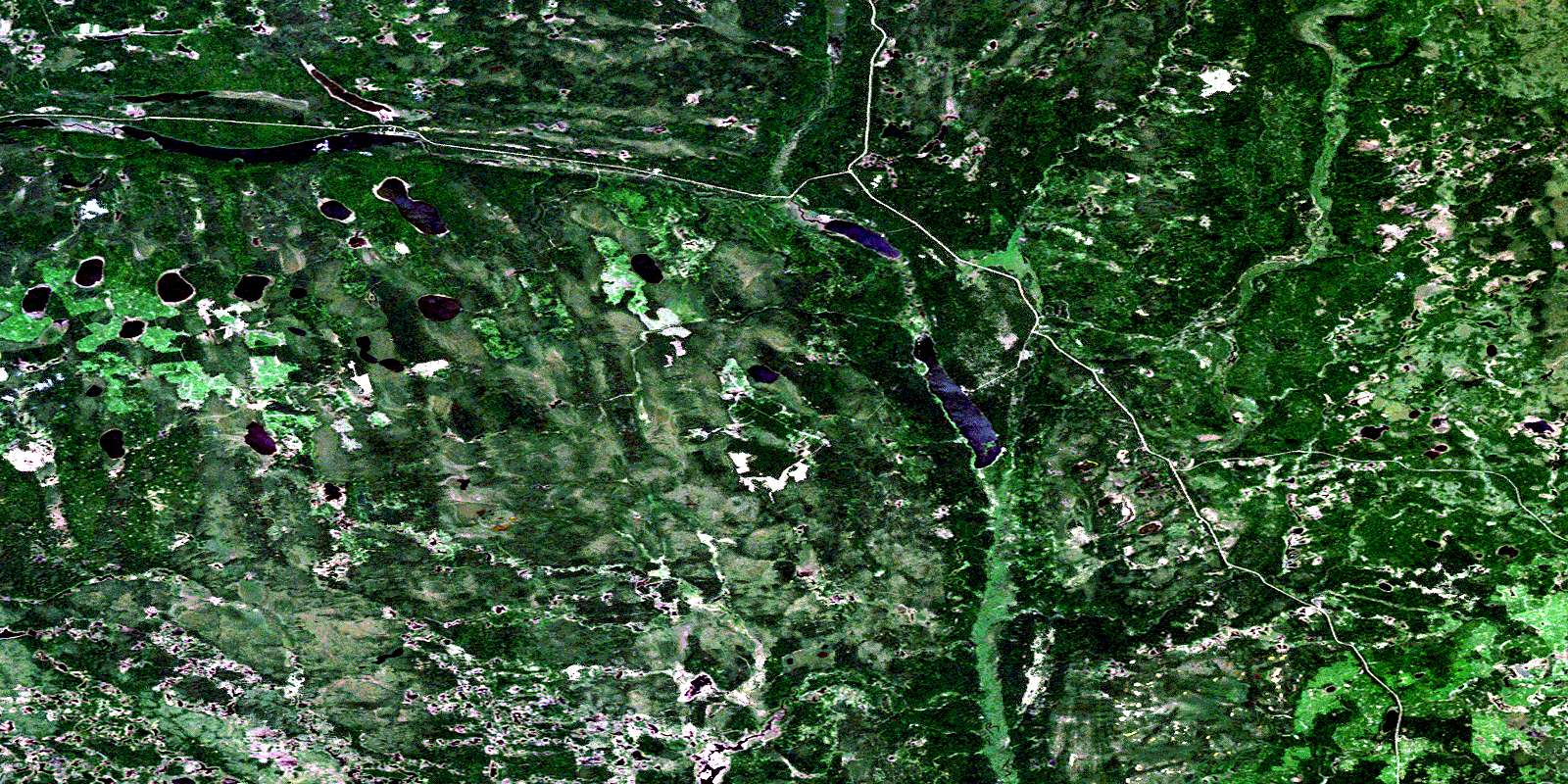
Mcbride Lake Satellite Image Map
Download Free Aerial Photo 063D08 at 1:50,000 scale
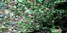
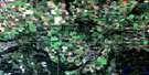
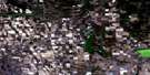
Mcbride Lake Satellite Imagery
To view this satellite map, mouse over the air photo on the right.
You can also download this satellite image map for free:
063D08 Mcbride Lake high-resolution satellite image map.
Maps for the Mcbride Lake aerial map sheet 063D08 at 1:50,000 scale are also available in these versions:
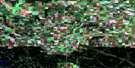
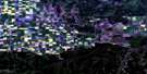
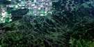
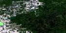
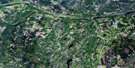
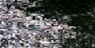
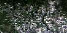
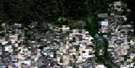
Mcbride Lake Surrounding Area Aerial Photo Maps
 |
 |
 |
 |
 |
 |
 |
 |
 |
 |
 |
 |
 |
 |
 |
 |
© Department of Natural Resources Canada. All rights reserved.
Mcbride Lake Gazetteer
The following places can be found on satellite image map 063D08 Mcbride Lake:
Mcbride Lake Satellite Image: Hamlets
Little Swan RiverMcbride Lake Satellite Image: Lakes
Arthur LakeBear Lake
Chinook Lake
Decorby Lake
Eldredge Lake
Hamilton Lake
Kenney Lake
Kidney Lake
McBride Lake
Mekin Lake
Menesachin Lake
Parr Hill Lake
Pepaw Lake
Saginas Lake
Swallow Lake
Sweeney Lake
Wapsim Lake
White Lake
Mcbride Lake Satellite Image: Mountains
Porcupine HillsMcbride Lake Satellite Image: Other municipal/district area - miscellaneous
Clayton No. 333Hudson Bay No. 394
Livingston No. 331
Preeceville No. 334
Mcbride Lake Satellite Image: Conservation areas
McBride Lake Recreation SiteParr Hill Lake Recreation Site
Pepaw Lake Recreation Site
Porcupine Provincial Forest
Mcbride Lake Satellite Image: Rivers
Bear CreekBinns Creek
Horace Brook
Nelson Creek
Pepaw River
Stewart Creek
Swan River
Twin Moose Creek
© Department of Natural Resources Canada. All rights reserved.
063D Related Maps:
063D Hudson Bay063D01 Swan Plain
063D02 Endeavour
063D03 Lintlaw
063D04 Kelvington
063D05 Nut Lake
063D06 Klogei Lake
063D07 Reserve
063D08 Mcbride Lake
063D09 Pepaw River
063D10 Weekes
063D11 Porcupine Plain
063D12 Bjorkdale
063D13 Crooked River
063D14 Mistatim
063D15 Prairie River
063D16 Hudson Bay
