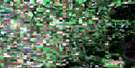
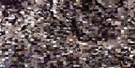
Porcupine Plain Satellite Image Map
Download Free Aerial Photo 063D11 at 1:50,000 scale
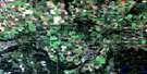
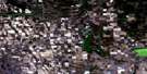
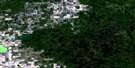
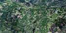
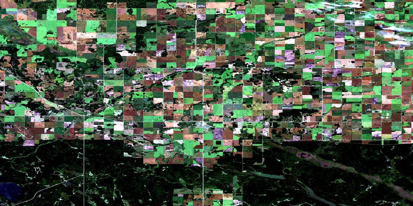
Porcupine Plain Satellite Imagery
To view this satellite map, mouse over the air photo on the right.
You can also download this satellite image map for free:
063D11 Porcupine Plain high-resolution satellite image map.
Maps for the Porcupine Plain aerial map sheet 063D11 at 1:50,000 scale are also available in these versions:
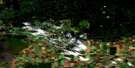
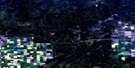
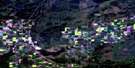
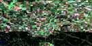
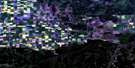
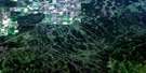
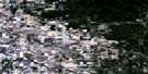
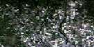
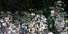
Porcupine Plain Surrounding Area Aerial Photo Maps
 |
 |
 |
 |
 |
 |
 |
 |
 |
 |
 |
 |
 |
 |
 |
 |
© Department of Natural Resources Canada. All rights reserved.
Porcupine Plain Gazetteer
The following places can be found on satellite image map 063D11 Porcupine Plain:
Porcupine Plain Satellite Image: Hamlets
ChelanPorcupine Plain Satellite Image: Lakes
Bjork LakeDenys Lake
Greenwater Lake
Hawkins Lake
Horsehide Lake
Piwei Lakes
Steiestol Lake
Porcupine Plain Satellite Image: Other municipal/district area - miscellaneous
Bjorkdale No. 426Porcupine No. 395
Porcupine Plain Satellite Image: Conservation areas
Greenwater Lake Provincial ParkPorcupine Provincial Forest
Porcupine Plain Satellite Image: Rivers
Bowman CreekCopeau River
Greenwater Creek
Horsehide Creek
McKillop Creek
Mud Creek
Piwei River
Red Deer River
Shand Creek
Porcupine Plain Satellite Image: Towns
Porcupine PlainPorcupine Plain Satellite Image: Unincorporated areas
CarraganaCopeau
Greenwater Lake
Lens
Shand Creek
© Department of Natural Resources Canada. All rights reserved.
063D Related Maps:
063D Hudson Bay063D01 Swan Plain
063D02 Endeavour
063D03 Lintlaw
063D04 Kelvington
063D05 Nut Lake
063D06 Klogei Lake
063D07 Reserve
063D08 Mcbride Lake
063D09 Pepaw River
063D10 Weekes
063D11 Porcupine Plain
063D12 Bjorkdale
063D13 Crooked River
063D14 Mistatim
063D15 Prairie River
063D16 Hudson Bay
