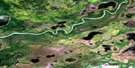
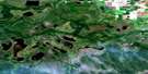
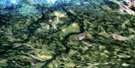
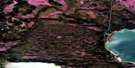
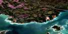
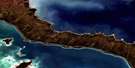
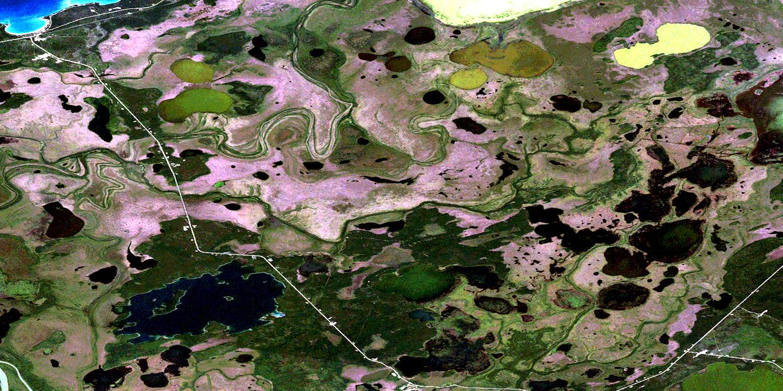
Landry Lake Satellite Image Map
Download Free Aerial Photo 063F15 at 1:50,000 scale
Landry Lake Satellite Imagery
To view this satellite map, mouse over the air photo on the right.
You can also download this satellite image map for free:
063F15 Landry Lake high-resolution satellite image map.
Maps for the Landry Lake aerial map sheet 063F15 at 1:50,000 scale are also available in these versions:
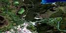
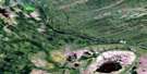
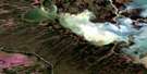
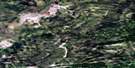
Landry Lake Surrounding Area Aerial Photo Maps
 |
 |
 |
 |
 |
 |
 |
 |
 |
 |
 |
 |
 |
 |
 |
 |
© Department of Natural Resources Canada. All rights reserved.
Landry Lake Gazetteer
The following places can be found on satellite image map 063F15 Landry Lake:
Landry Lake Satellite Image: Bays
Opuskaw BayPioneer Bay
Landry Lake Satellite Image: Islands
Missi IslandLandry Lake Satellite Image: Lakes
Akapasichiwaymosik LakeApekisayakamak Lake
Atikameg Lake
Clearwater (Atikameg) Lake
Clearwater Lake
Driftwood Lake
Kakiskuskak Lake
Kanaabiskack Lake
Kanayapiskak Lake
Kapasichiwaymosik Lake
Kapiskitowakomak Lake
Kapiskwutunuskot Lake
Kapitapiskasik Lake
Landry Lake
Little Askipoy Lake
Mawdesley Lake
Moose Lake
Nepisepukatawakanis Lake
North Moose Lake
Shirley Lake
Landry Lake Satellite Image: Conservation areas
Clearwater Lake Provincial ParkTom Lamb Wildlife Management Area
Landry Lake Satellite Image: Rivers
Askipoy Peetapak CreekLittle Frog Creek
Lobstick Creek
Lost Creek
Rivière Saskatchewan
Rosebud Creek
Saskatchewan River
Summerberry River
Landry Lake Satellite Image: Road features
Moose Lake RoadLandry Lake Satellite Image: Unincorporated areas
Atikameg LakeClearwater Lake
© Department of Natural Resources Canada. All rights reserved.
063F Related Maps:
063F The Pas063F01 Mossy Portage
063F02 Spruce Island
063F03 Overflowing River
063F04 Chemong Creek
063F05 Turnberry
063F06 No Title
063F07 Connolly Bay
063F08 Kokookuhoo Island
063F09 Lamb Lake
063F10 Red Earth Lake
063F11 Pasquia Lake
063F12 Culdesac Lake
063F13 Barrier Lake
063F14 The Pas
063F15 Landry Lake
063F16 Crossing Bay
