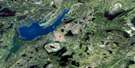
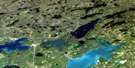
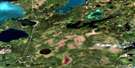
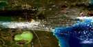
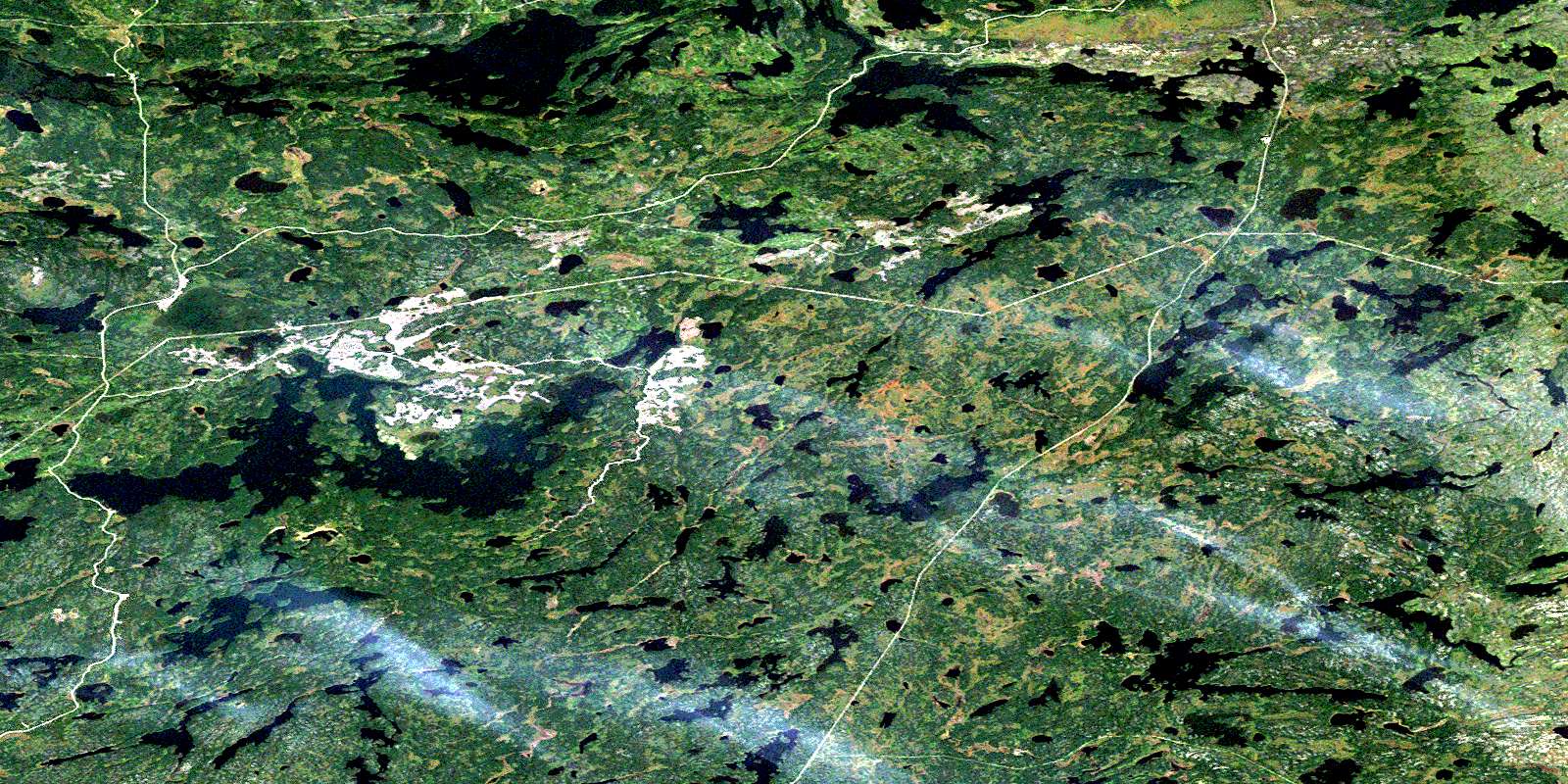
Naosap Lake Satellite Image Map
Download Free Aerial Photo 063K14 at 1:50,000 scale
Naosap Lake Satellite Imagery
To view this satellite map, mouse over the air photo on the right.
You can also download this satellite image map for free:
063K14 Naosap Lake high-resolution satellite image map.
Maps for the Naosap Lake aerial map sheet 063K14 at 1:50,000 scale are also available in these versions:
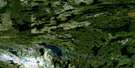
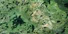
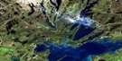
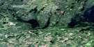
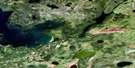
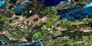
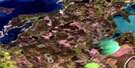
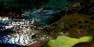
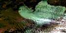
Naosap Lake Surrounding Area Aerial Photo Maps
 |
 |
 |
 |
 |
 |
 |
 |
 |
 |
 |
 |
 |
 |
 |
 |
© Department of Natural Resources Canada. All rights reserved.
Naosap Lake Gazetteer
The following places can be found on satellite image map 063K14 Naosap Lake:
Naosap Lake Satellite Image: Bays
Weldon BayNaosap Lake Satellite Image: Channels
Lobstick NarrowsWeldon Narrows
Naosap Lake Satellite Image: Islands
Mayers IslandMcNichol Island
Wickstendt Island
Naosap Lake Satellite Image: Lakes
Alberts LakeBakers Lake
Blueberry Lake
Boot Lake
Cheman Lake
Collins Lake
Copper Lake
Demarch Lake
Dismal Lake
Dumbell Lake
Emerald Lake
Fahrni Lake
Farhni Lake
Fay Lake
Gwen Lake
Ham Lake
Heming Lake
Home Lake
Kakamitatit Lake
Kakat Mitatut Lake
Kaylen Lake
King Lake
Kisseynew Lake
Kotyk Lake
Little Long Lake
Little Rat Lake
Long Lake
Love Lake
Mitatut Lake
Moosehead Lake
Naosap Lake
Naosap Mud Lake
Nekik Lake
Nepaw Lake
Nesosap Lake
Nistosap Lake
Noten Lake
Optic Lake
Paton Lake
Pattern Lake
Payukosap Lake
Peterson Lake
Piat Lake
Pin Lake
Ponton Lake
Quigly Lake
Racoon Lake
Rodwalsh Lake
Saddle Lake
Sewap Lake
Soneau Lake
Stanson Lake
Sucker Lake
Syme Lake
Symes Lake
Tack Lake
Tapukok Lake
Thunderhill Lake
Timber Wolf Lake
Triangle Lake
Uyenanao Lake
Vamp Lake
Wajusk Lake
Wapun Lake
Naosap Lake Satellite Image: Conservation areas
Grass River Provincial ParkNaosap Lake Satellite Image: Rivers
Beaucage CreekFay Creek
Fay River
Holly Creek
Separation Creek
Tack Creek
Vamp Creek
Naosap Lake Satellite Image: Unincorporated areas
Heming LakeOptic Lake
© Department of Natural Resources Canada. All rights reserved.
063K Related Maps:
063K Cormorant Lake063K01 Burntwood Bay
063K02 Cormorant
063K03 Root Lake
063K04 Namew Lake
063K05 Goose Lake
063K06 Egg Lake
063K07 Yawningstone Lake
063K08 Dyce Lake
063K09 Tramping Lake
063K10 Iskwasum Lake
063K11 Cranberry Portage
063K12 Schist Lake
063K13 Flin Flon
063K14 Naosap Lake
063K15 Elbow Lake
063K16 File Lake
