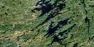
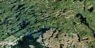
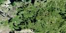
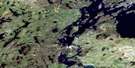
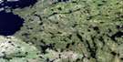
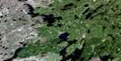
Finlayson Lake Satellite Image Map
Download Free Aerial Photo 064D07 at 1:50,000 scale
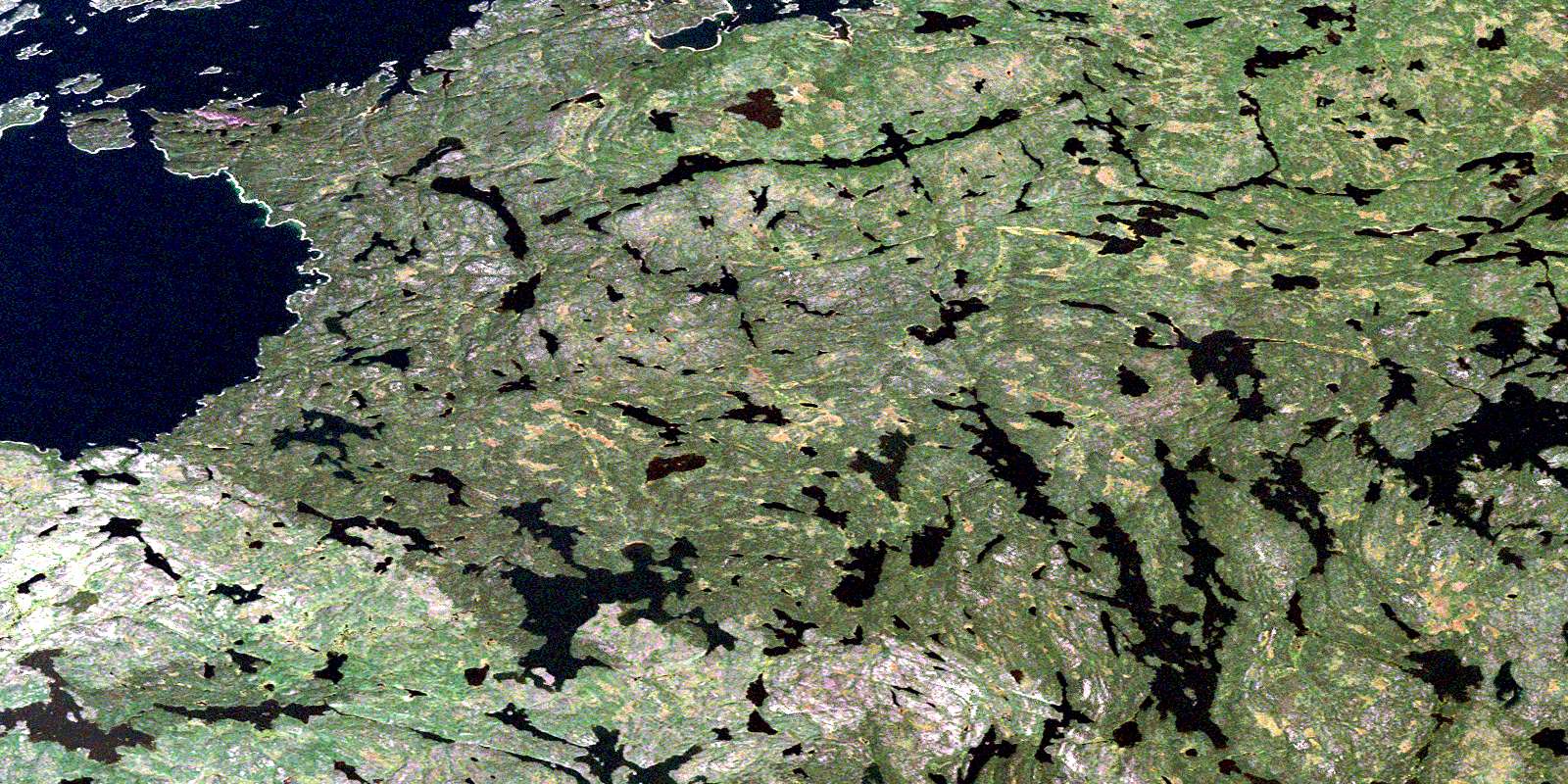
Finlayson Lake Satellite Imagery
To view this satellite map, mouse over the air photo on the right.
You can also download this satellite image map for free:
064D07 Finlayson Lake high-resolution satellite image map.
Maps for the Finlayson Lake aerial map sheet 064D07 at 1:50,000 scale are also available in these versions:
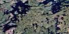
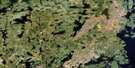
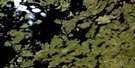
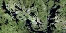
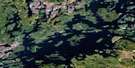
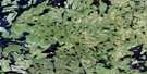
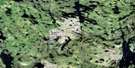
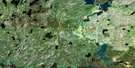
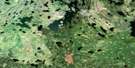
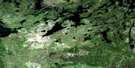
Finlayson Lake Surrounding Area Aerial Photo Maps
 |
 |
 |
 |
 |
 |
 |
 |
 |
 |
 |
 |
 |
 |
 |
 |
© Department of Natural Resources Canada. All rights reserved.
Finlayson Lake Gazetteer
The following places can be found on satellite image map 064D07 Finlayson Lake:
Finlayson Lake Satellite Image: Bays
Deep BayFleming Bay
Lalonde Bay
McCaffrey Bay
Ogloff Bay
Schutte Bay
Finlayson Lake Satellite Image: Islands
Graham IslandGraham Islands
Hodgson Island
Price Island
Sandford Island
Finlayson Lake Satellite Image: Lakes
Budd LakeClarke Lake
Elliott Lake
Finlayson Lake
Furman Lake
Gladman Lake
Harriott Lake
Knutson Lake
Kyaska Lake
Lalond Lake
Manson Lake
McAndrew Lake
McCrindle Lake
Peirson Lake
Platt Lake
Reindeer Lake
Rowland Lake
Shaw Lake
Finlayson Lake Satellite Image: Rivers
Crow RiverHarriott River
© Department of Natural Resources Canada. All rights reserved.
064D Related Maps:
064D Numabin Bay064D01 Kamatsi Lake
064D02 Harriott Lake
064D03 Royal Lake
064D04 Lower Waddy Lake
064D05 May Lake
064D06 Southend
064D07 Finlayson Lake
064D08 Kyaska Lake
064D09 Bleasdell Lake
064D10 Milton Island
064D11 Ghana Lake
064D12 Macoun Lake
064D13 Wathaman Lake
064D14 Oliver Lake
064D15 Perry Lake
064D16 Amiskit Island
