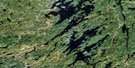
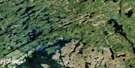
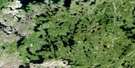
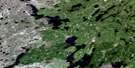
Milton Island Satellite Image Map
Download Free Aerial Photo 064D10 at 1:50,000 scale
Milton Island Satellite Imagery
To view this satellite map, mouse over the air photo on the right.
You can also download this satellite image map for free:
064D10 Milton Island high-resolution satellite image map.
Maps for the Milton Island aerial map sheet 064D10 at 1:50,000 scale are also available in these versions:
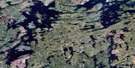
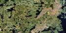
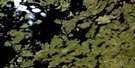
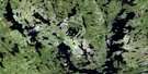
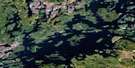
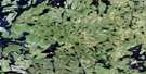
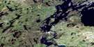
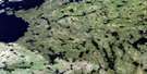
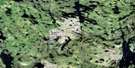
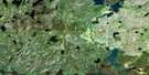
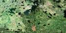
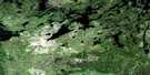
Milton Island Surrounding Area Aerial Photo Maps
 |
 |
 |
 |
 |
 |
 |
 |
 |
 |
 |
 |
 |
 |
 |
 |
© Department of Natural Resources Canada. All rights reserved.
Milton Island Gazetteer
The following places can be found on satellite image map 064D10 Milton Island:
Milton Island Satellite Image: Bays
Fleming BayLawrence Bay
Levesque Bay
Wapus Bay
Milton Island Satellite Image: Capes
Jones PeninsulaLawrence Point
Reynolds Peninsula
Milton Island Satellite Image: Islands
Brenton IslandButler Island
Crowe Island
Gawthrop Island
Hodgson Island
Macfarlane Island
Milton Island
Mooney Island
Ochankugahe Island
Priestly Island
Reynolds Island
Sandford Island
Wapus Island
Milton Island Satellite Image: Lakes
Cheadle LakeCowie Lake
Gilbart Lake
Reed Lake
Reindeer Lake
Wapusis Lake
Milton Island Satellite Image: Rivers
Wapus River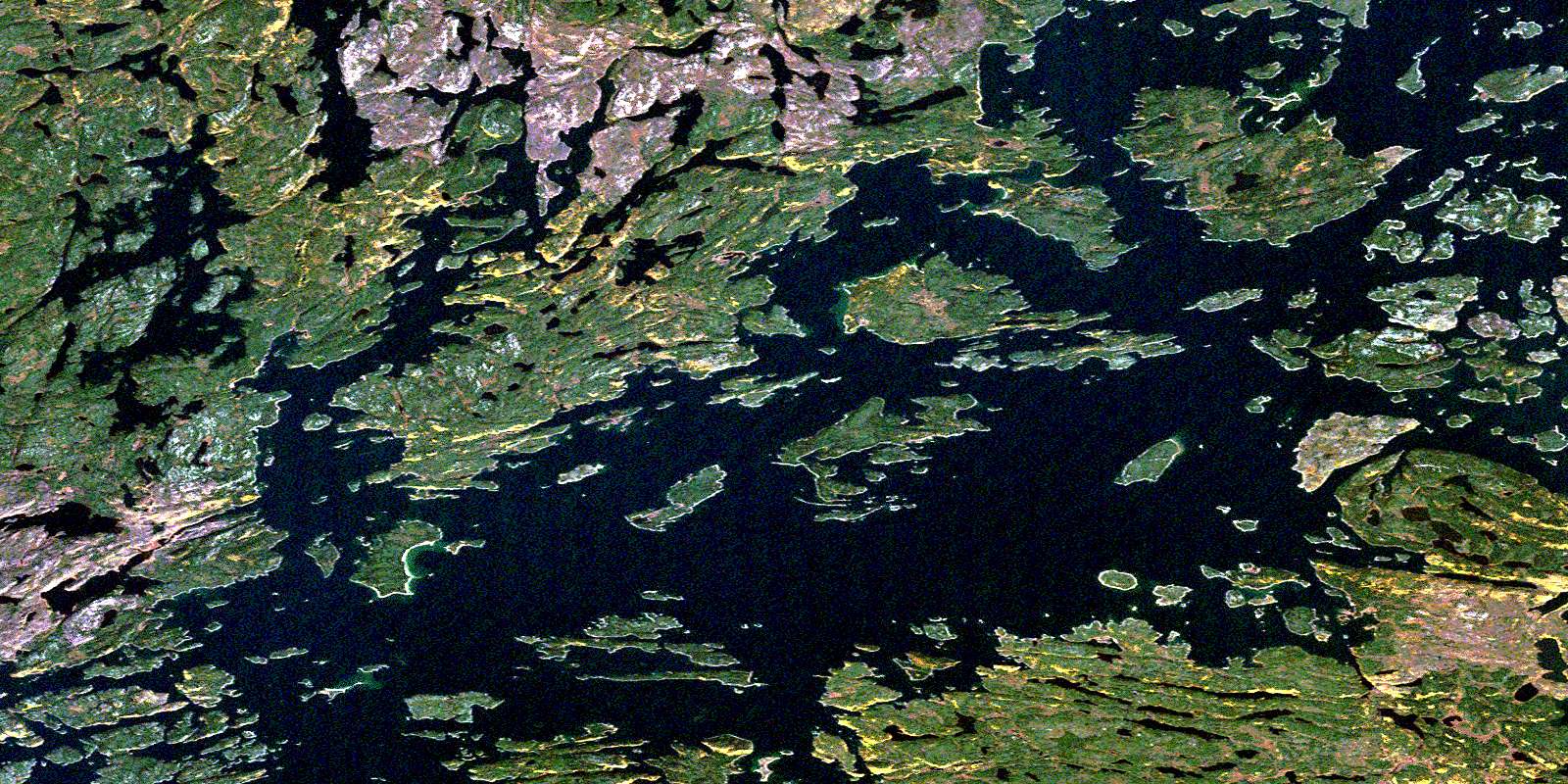
© Department of Natural Resources Canada. All rights reserved.
064D Related Maps:
064D Numabin Bay064D01 Kamatsi Lake
064D02 Harriott Lake
064D03 Royal Lake
064D04 Lower Waddy Lake
064D05 May Lake
064D06 Southend
064D07 Finlayson Lake
064D08 Kyaska Lake
064D09 Bleasdell Lake
064D10 Milton Island
064D11 Ghana Lake
064D12 Macoun Lake
064D13 Wathaman Lake
064D14 Oliver Lake
064D15 Perry Lake
064D16 Amiskit Island
