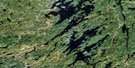
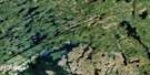
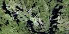
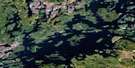
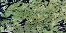
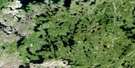
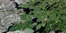
Macoun Lake Satellite Image Map
Download Free Aerial Photo 064D12 at 1:50,000 scale
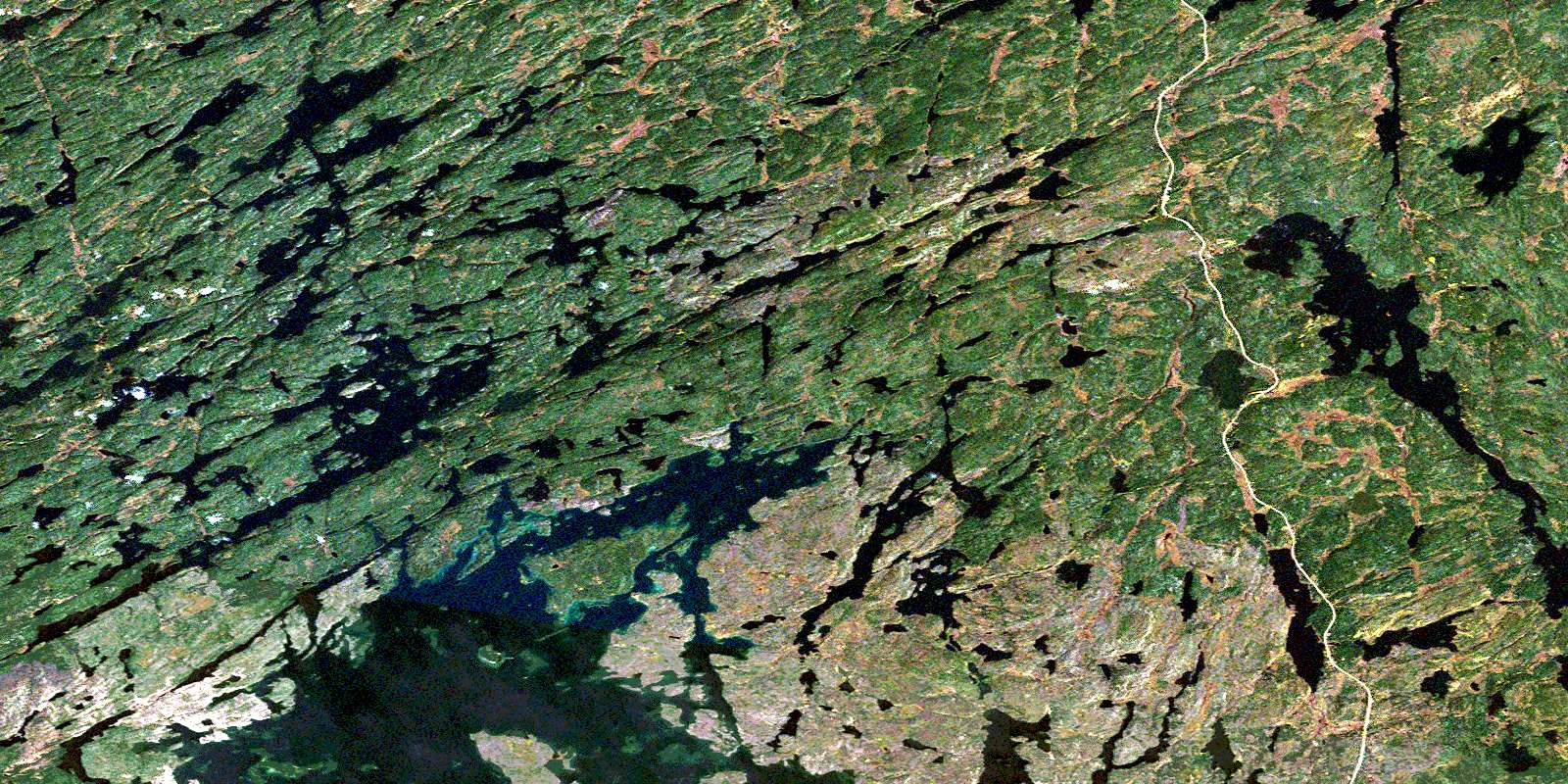
Macoun Lake Satellite Imagery
To view this satellite map, mouse over the air photo on the right.
You can also download this satellite image map for free:
064D12 Macoun Lake high-resolution satellite image map.
Maps for the Macoun Lake aerial map sheet 064D12 at 1:50,000 scale are also available in these versions:
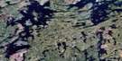
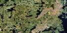
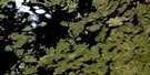
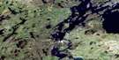
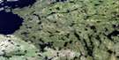
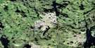
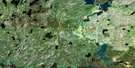
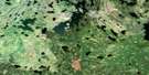
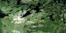
Macoun Lake Surrounding Area Aerial Photo Maps
 |
 |
 |
 |
 |
 |
 |
 |
 |
 |
 |
 |
 |
 |
 |
 |
© Department of Natural Resources Canada. All rights reserved.
Macoun Lake Gazetteer
The following places can be found on satellite image map 064D12 Macoun Lake:
Macoun Lake Satellite Image: Bays
Brennand BayCairns Bay
Lightle Bay
Macoun Lake Satellite Image: Falls
Cameron FallsMacoun Lake Satellite Image: Islands
Dickson IslandLeach Island
Sylvester Island
Macoun Lake Satellite Image: Lakes
Buss LakesCoyle Lake
Cuelenaere Lake
David Lake
Davin Lake
Erickson Lake
Gocki Lake
Gunderson Lake
Henderson Lake
Kirby Lake
Macoun Lake
McKague Lake
McKeen Lake
McKnight Lake
Meili Lake
Ogilvie Lake
Pritchard Lake
Purdey Lake
Schaffer Lake
Thibeault Lake
Warren Lake
Yaholnitsky Lake
Macoun Lake Satellite Image: Rapids
Fysh RapidsSawatzky Rapids
Schultz Rapids
Macoun Lake Satellite Image: Rivers
McLennan CreekPink River
Ross River
© Department of Natural Resources Canada. All rights reserved.
064D Related Maps:
064D Numabin Bay064D01 Kamatsi Lake
064D02 Harriott Lake
064D03 Royal Lake
064D04 Lower Waddy Lake
064D05 May Lake
064D06 Southend
064D07 Finlayson Lake
064D08 Kyaska Lake
064D09 Bleasdell Lake
064D10 Milton Island
064D11 Ghana Lake
064D12 Macoun Lake
064D13 Wathaman Lake
064D14 Oliver Lake
064D15 Perry Lake
064D16 Amiskit Island
