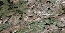
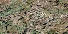
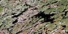
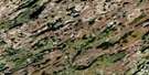
Tice Lake Satellite Image Map
Download Free Aerial Photo 064N14 at 1:50,000 scale
Tice Lake Satellite Imagery
To view this satellite map, mouse over the air photo on the right.
You can also download this satellite image map for free:
064N14 Tice Lake high-resolution satellite image map.
Maps for the Tice Lake aerial map sheet 064N14 at 1:50,000 scale are also available in these versions:
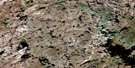
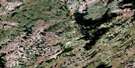
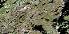
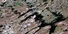
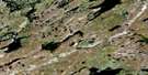
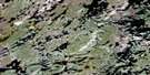
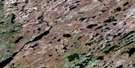
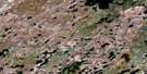
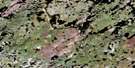
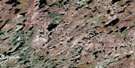
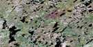
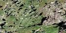
Tice Lake Surrounding Area Aerial Photo Maps
 |
 |
 |
 |
 |
 |
 |
 |
 |
 |
 |
 |
 |
 |
 |
 |
© Department of Natural Resources Canada. All rights reserved.
Tice Lake Gazetteer
The following places can be found on satellite image map 064N14 Tice Lake:
Tice Lake Satellite Image: Bays
Flett BayMacDonald Bay
Ramsay Bay
Tice Lake Satellite Image: Capes
Stevens PeninsulaTice Lake Satellite Image: Lakes
Bassett LakeBrissette Lake
Brissette Lake
Culleton Lake
Draper Lake
Farewell Lake
Gabor Lake
Lamontagne Lake
Porter Lake
Pound Lake
Rendall Lake
Shinewald Lake
Southall Lake
Strachan Lake
Tice Lake
Veal Lake
Walden Lake
Tice Lake Satellite Image: Mountains
Armstrong EskerTice Lake Satellite Image: Provinces
ManitobaTice Lake Satellite Image: Rivers
Caribou Hoof RiverLittle Partridge River
Putahow River
Putahow River
Tice Lake Satellite Image: Territory
Nunavut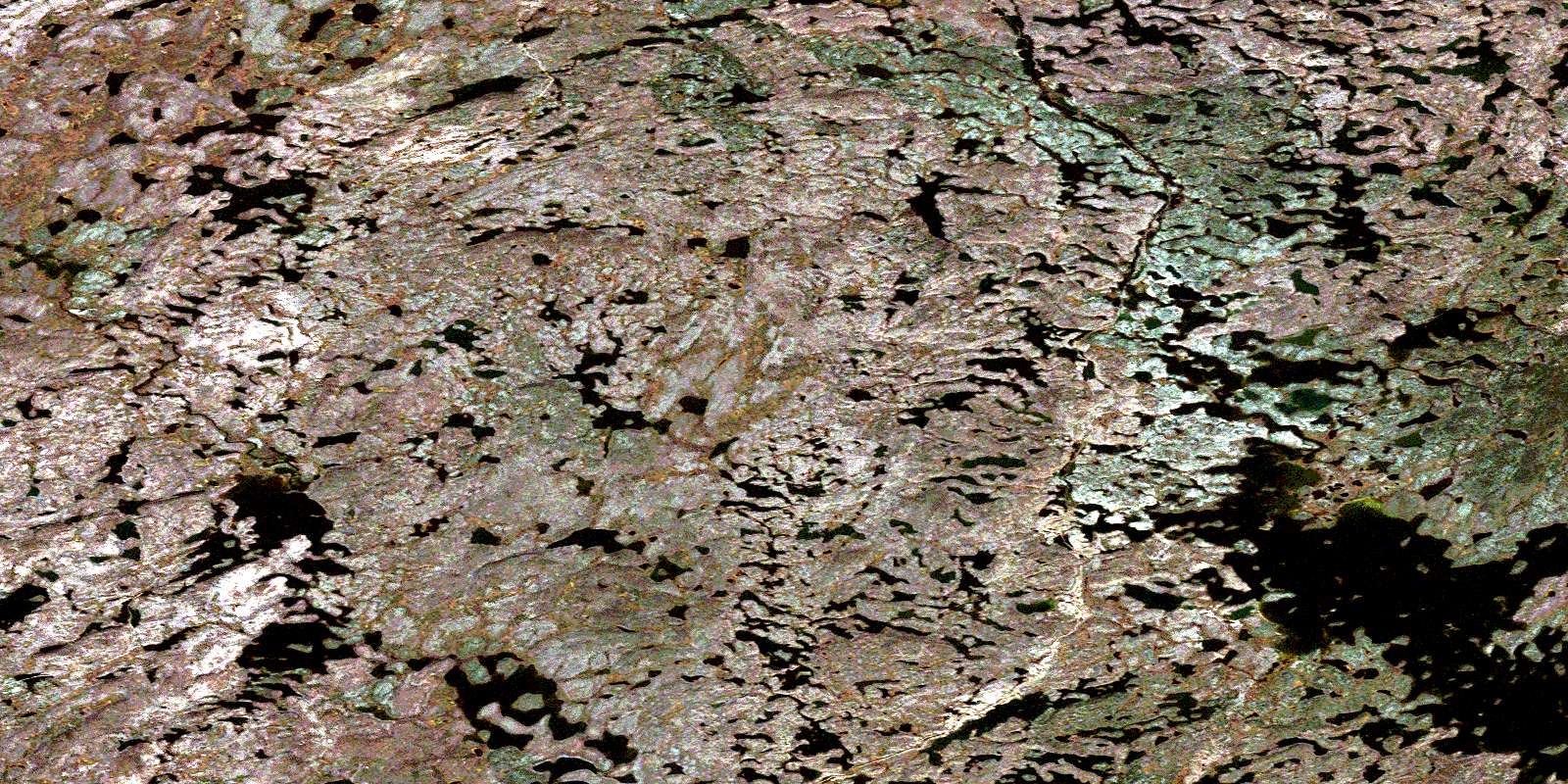
© Department of Natural Resources Canada. All rights reserved.
064N Related Maps:
064N Kasmere Lake064N01 Minuhik Lake
064N02 Whitmore Lake
064N03 Colbeck Lake
064N04 Erickson Lake
064N05 Snyder Lake
064N06 Thanout Lake
064N07 Hugill Creek
064N08 Finner Lake
064N09 Turner Lake
064N10 Sucker Lake
064N11 Kasmere Lake
064N12 Wolk Lake
064N13 Veal Lake
064N14 Tice Lake
064N15 Putahow Lake
064N16 Bagg Lake
