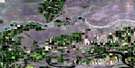
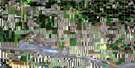
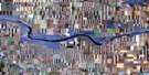
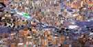
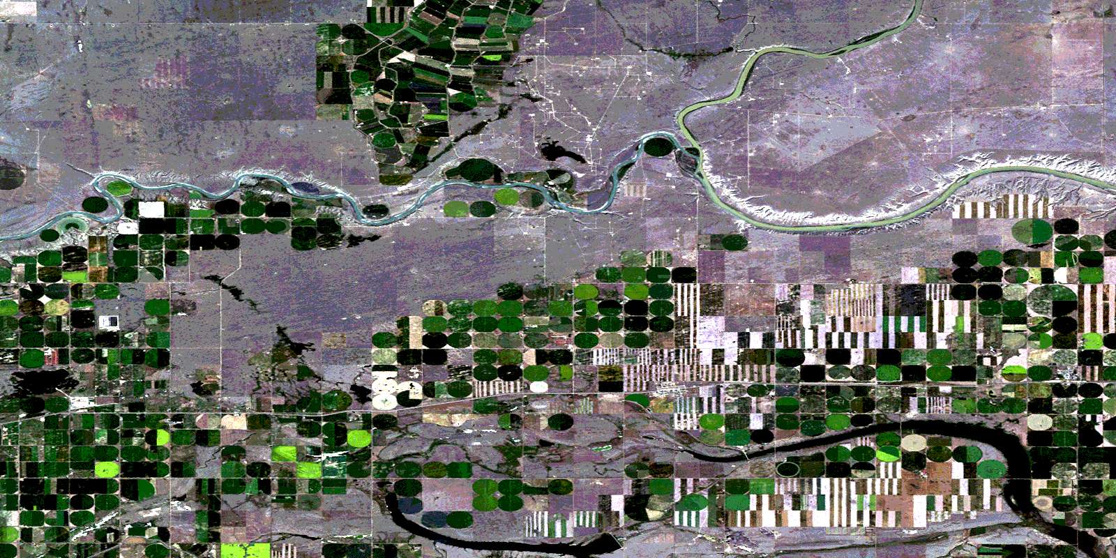
Grassy Lake Satellite Image Map
Download Free Aerial Photo 072E13 at 1:50,000 scale
Grassy Lake Satellite Imagery
To view this satellite map, mouse over the air photo on the right.
You can also download this satellite image map for free:
072E13 Grassy Lake high-resolution satellite image map.
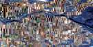
Maps for the Grassy Lake aerial map sheet 072E13 at 1:50,000 scale are also available in these versions:
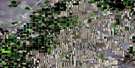
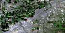
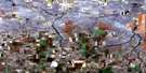
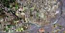
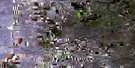
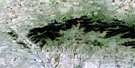
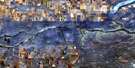
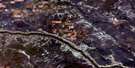
Grassy Lake Surrounding Area Aerial Photo Maps
 |
 |
 |
 |
 |
 |
 |
 |
 |
 |
 |
 |
 |
 |
 |
 |
© Department of Natural Resources Canada. All rights reserved.
Grassy Lake Gazetteer
The following places can be found on satellite image map 072E13 Grassy Lake:
Grassy Lake Satellite Image: Islands
Bow IslandWolf Island
Grassy Lake Satellite Image: Lakes
Fincastle LakeSherburne Lake
Yellow Lake
Grassy Lake Satellite Image: Mountains
Cairn HillGrassy Lake Satellite Image: Major municipal/district area - major agglomerations
County of Forty Mile No. 8County of Newell No. 4
Municipal District of Taber
Municipal District of Taber No. 14
Grassy Lake Satellite Image: Rivers
Bow RiverOldman River
Rivière Saskatchewan Sud
South Saskatchewan River
Grassy Lake Satellite Image: River features
The Grand ForksGrassy Lake Satellite Image: Unincorporated areas
AntonioBurdett
Grassy Lake
Juno
Purple Springs
© Department of Natural Resources Canada. All rights reserved.
