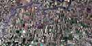
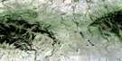
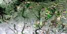
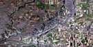
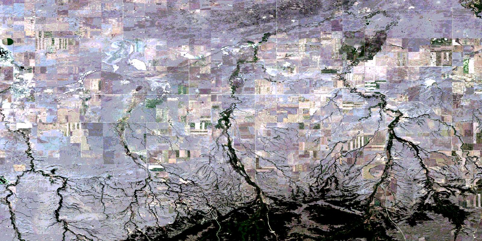
Maple Creek Satellite Image Map
Download Free Aerial Photo 072F14 at 1:50,000 scale
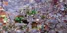
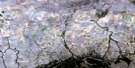
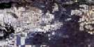
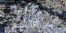
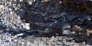
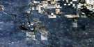
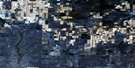
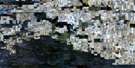
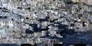
Maple Creek Satellite Imagery
To view this satellite map, mouse over the air photo on the right.
You can also download this satellite image map for free:
072F14 Maple Creek high-resolution satellite image map.
Maps for the Maple Creek aerial map sheet 072F14 at 1:50,000 scale are also available in these versions:
Maple Creek Surrounding Area Aerial Photo Maps
 |
 |
 |
 |
 |
 |
 |
 |
 |
 |
 |
 |
 |
 |
 |
 |
© Department of Natural Resources Canada. All rights reserved.
Maple Creek Gazetteer
The following places can be found on satellite image map 072F14 Maple Creek:
Maple Creek Satellite Image: Hamlets
PiapotMaple Creek Satellite Image: Indian Reserves
Nekaneet Cree NationNekaneet Indian Reserve 160A
Réserve indienne Nekaneet 160A
Maple Creek Satellite Image: Lakes
Harris ReservoirHay Lake
Johnson Lake
Junction Reservoir
McDougald Reservoir
Windigo Lake
Maple Creek Satellite Image: Mountains
Cypress HillsMaple Creek Satellite Image: Other municipal/district area - miscellaneous
Maple Creek No. 111Piapot No. 110
Maple Creek Satellite Image: Rivers
Bear CreekBirch Creek
Dyke Creek
Fauquier Creek
Fleming Creek
Hay Creek
Maple Creek
Moorhead Creek
Peecock Creek
Piapot Creek
Shuard Creek
Skull Creek
Maple Creek Satellite Image: Towns
Maple CreekMaple Creek Satellite Image: Unincorporated areas
CardellCross
Edgell
Skull Creek
Tannahill
Maple Creek Satellite Image: Valleys
Udal CouleeUnsworth Coulee
© Department of Natural Resources Canada. All rights reserved.
072F Related Maps:
072F Cypress Lake072F01 Climax
072F02 Frontier
072F03 Lyons Creek
072F04 Willow Creek
072F05 Consul
072F06 Ravenscrag
072F07 Eastbrook Coulee
072F08 Badland Lake
072F09 Shaunavon
072F10 Dollard
072F11 Fairwell Creek
072F12 Hungerford Lakes
072F13 Kincorth
072F14 Maple Creek
072F15 Skull Creek
072F16 Simmie
