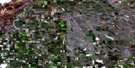
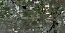
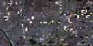
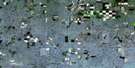
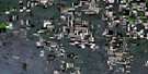
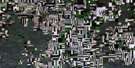
Sibbald Satellite Image Map
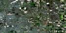
Download Free Aerial Photo 072M08 at 1:50,000 scale
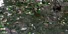
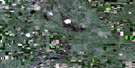
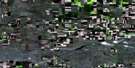
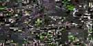
Sibbald Satellite Imagery
To view this satellite map, mouse over the air photo on the right.
You can also download this satellite image map for free:
072M08 Sibbald high-resolution satellite image map.
Maps for the Sibbald aerial map sheet 072M08 at 1:50,000 scale are also available in these versions:
Sibbald Surrounding Area Aerial Photo Maps
 |
 |
 |
 |
 |
 |
 |
 |
 |
 |
 |
 |
 |
 |
 |
 |
© Department of Natural Resources Canada. All rights reserved.
Sibbald Gazetteer
The following places can be found on satellite image map 072M08 Sibbald:
Sibbald Satellite Image: Lakes
Armitage's LakeGlover's Lake
Green's Lake
Sibbald Satellite Image: Mountains
Hoenig's HillSibbald Satellite Image: Major municipal/district area - major agglomerations
Municipal District of Acadia No. 34Sibbald Satellite Image: Other municipal/district area - miscellaneous
Chesterfield No. 261Milton No. 292
Special Area No. 3
Sibbald Satellite Image: Towns
OyenSibbald Satellite Image: Unincorporated areas
Benton StationCalendula
Myleen
Sibbald
Sibbald Satellite Image: Villages
Benton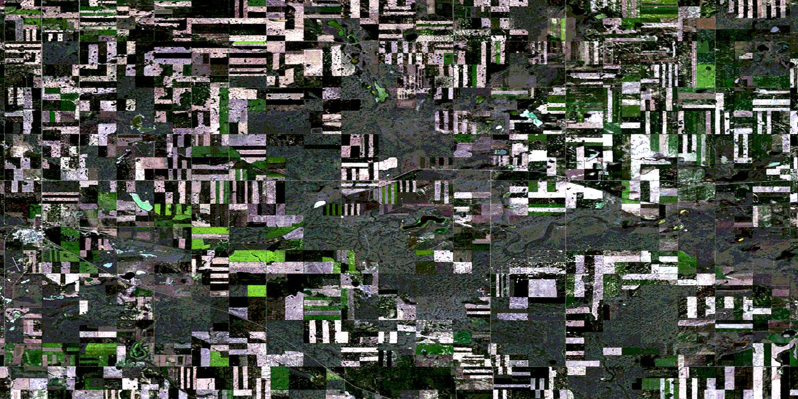
© Department of Natural Resources Canada. All rights reserved.
