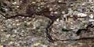
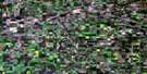
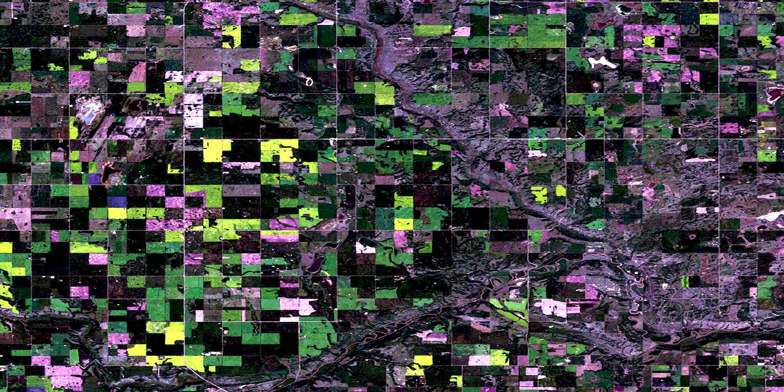
Grizzly Bear Creek Satellite Image Map
Download Free Aerial Photo 073E02 at 1:50,000 scale
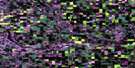
Grizzly Bear Creek Satellite Imagery
To view this satellite map, mouse over the air photo on the right.
You can also download this satellite image map for free:
073E02 Grizzly Bear Creek high-resolution satellite image map.
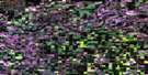
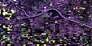
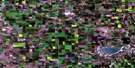
Maps for the Grizzly Bear Creek aerial map sheet 073E02 at 1:50,000 scale are also available in these versions:
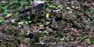
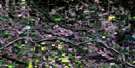
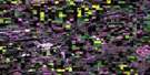
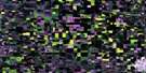
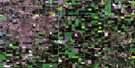
Grizzly Bear Creek Surrounding Area Aerial Photo Maps
 |
 |
 |
 |
 |
 |
 |
 |
 |
 |
 |
 |
 |
 |
 |
 |
© Department of Natural Resources Canada. All rights reserved.
Grizzly Bear Creek Gazetteer
The following places can be found on satellite image map 073E02 Grizzly Bear Creek:
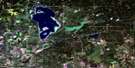
Grizzly Bear Creek Satellite Image: Lakes
Arcand LakeErnest Lake
Hind Lake
Okanes Lake
Still Lake
Weeks Lake
Grizzly Bear Creek Satellite Image: Major municipal/district area - major agglomerations
County of Vermilion River No. 24Municipal District of Wainwright No. 61
Grizzly Bear Creek Satellite Image: Conservation areas
Grizzly Bear Telegraph Station Provincial Historic Site (Undeveloped)Grizzly Bear Creek Satellite Image: Rivers
Battle RiverBuffaloCreek
Grizzly Bear Creek
Soft Creek
Grizzly Bear Creek Satellite Image: Unincorporated areas
AuburndaleBattleview
Hindville
Koknee
Tolland
Vanesti
Wildmere
© Department of Natural Resources Canada. All rights reserved.
073E Related Maps:
073E Vermilion073E01 Paradise Valley
073E02 Grizzly Bear Creek
073E03 Buffalo Creek
073E04 Viking
073E05 Innisfree
073E06 Mannville
073E07 Vermilion
073E08 Lloydminster
073E09 Marwayne
073E10 Clandonald
073E11 Myrnam
073E12 Two Hills
073E13 Hairy Hill
073E14 St Paul
073E15 Elk Point
073E16 Frog Lake
