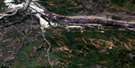
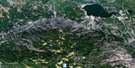
Gregoire Lake Satellite Image Map
Download Free Aerial Photo 074D06 at 1:50,000 scale
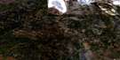
Gregoire Lake Satellite Imagery
To view this satellite map, mouse over the air photo on the right.
You can also download this satellite image map for free:
074D06 Gregoire Lake high-resolution satellite image map.
Maps for the Gregoire Lake aerial map sheet 074D06 at 1:50,000 scale are also available in these versions:
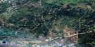
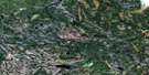
Gregoire Lake Surrounding Area Aerial Photo Maps
 |
 |
 |
 |
 |
 |
 |
 |
 |
 |
 |
 |
 |
 |
 |
 |
© Department of Natural Resources Canada. All rights reserved.
Gregoire Lake Gazetteer
The following places can be found on satellite image map 074D06 Gregoire Lake:
Gregoire Lake Satellite Image: Indian Reserves
Gregoire Lake 176Gregoire Lake 176A
Gregoire Lake 176B
Gregoire Lake Satellite Image: Lakes
Canoe LakeChecker Lake
Crazy Lake
Gregoire Lake
Island Lake
Kinosis Lake
Milton's Lake
Mystery Lake
Stoney Lake
Surmont Lake
Twin Lakes
Willow Lake
Gregoire Lake Satellite Image: Major municipal/district area - major agglomerations
Wood BuffaloGregoire Lake Satellite Image: Conservation areas
Gregoire Lake Provincial ParkGregoire Lake Satellite Image: Rivers
Gregoire RiverHalfway Creek
Hangingstone River
Kinosis Creek
Milton's Creek
Prairie Creek
Saline Creek
Surmont Creek
Gregoire Lake Satellite Image: Unincorporated areas
Anzac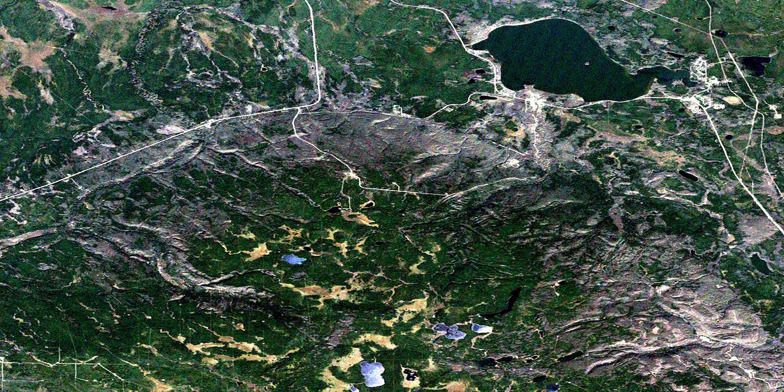
© Department of Natural Resources Canada. All rights reserved.
074D Related Maps:
074D Fort Mcmurray074D01 Watchusk Lake
074D02 Quigley
074D03 No Title
074D04 Horse River
074D05 No Title
074D06 Gregoire Lake
074D07 Cheecham
074D08 Gipsy Lake
074D09 Bunting Bay
074D10 Hollies Creek
074D11 Fort Mcmurray
074D12 Cascade Rapids
074D13 Ruth Lake
074D14 Wood Creek
074D15 No Title
074D16 High Hill River
