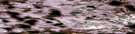
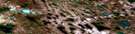
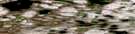
Norway Bay Satellite Image Map
Download Free Aerial Photo 077H01 at 1:50,000 scale
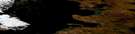
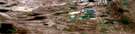
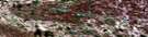
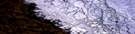
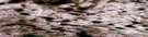
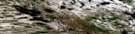
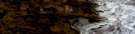
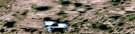
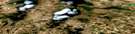
Norway Bay Satellite Imagery
To view this satellite map, mouse over the air photo on the right.
You can also download this satellite image map for free:
077H01 Norway Bay high-resolution satellite image map.
Maps for the Norway Bay aerial map sheet 077H01 at 1:50,000 scale are also available in these versions:
Norway Bay Surrounding Area Aerial Photo Maps
 |
 |
 |
 |
 |
 |
 |
 |
 |
 |
 |
 |
 |
 |
 |
 |
© Department of Natural Resources Canada. All rights reserved.
Norway Bay Gazetteer
The following places can be found on satellite image map 077H01 Norway Bay:
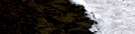
Norway Bay Satellite Image: Bays
Norway BayNorway Bay Satellite Image: Capes
Isachsen PointStorkerson Peninsula
Norway Bay Satellite Image: Channels
M'Clintock ChannelNorway Bay Satellite Image: Islands
Victoria Island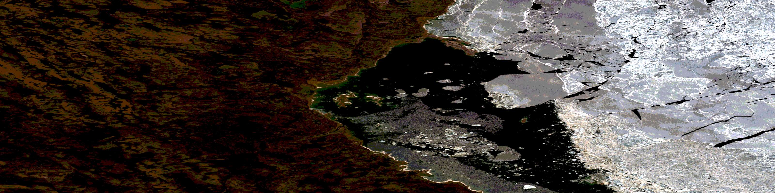
© Department of Natural Resources Canada. All rights reserved.
