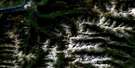
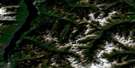
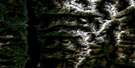
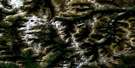
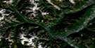
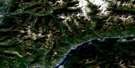
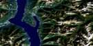
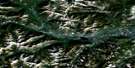
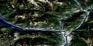
Yahk Satellite Image Map
Download Free Aerial Photo 082F01 at 1:50,000 scale
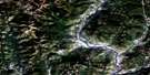
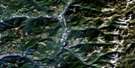
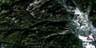
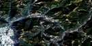
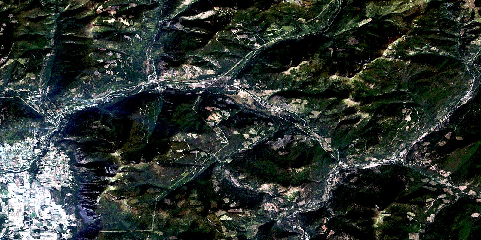
Yahk Satellite Imagery
To view this satellite map, mouse over the air photo on the right.
You can also download this satellite image map for free:
082F01 Yahk high-resolution satellite image map.
Maps for the Yahk aerial map sheet 082F01 at 1:50,000 scale are also available in these versions:
Yahk Surrounding Area Aerial Photo Maps
 |
 |
 |
 |
 |
 |
 |
 |
 |
 |
 |
 |
 |
 |
 |
 |
© Department of Natural Resources Canada. All rights reserved.
Yahk Gazetteer
The following places can be found on satellite image map 082F01 Yahk:
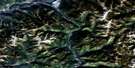
Yahk Satellite Image: Cliffs
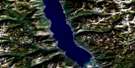
McKim CliffYahk Satellite Image: Lakes
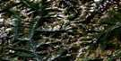
Rykerts LakeYahk Satellite Image: Mountains
Arrow MountainColumbia Mountains
Hailstorm Ridge
Iron Range Mountain
Mount Kitchener
Mount Thompson
Moyie Range
Purcell Mountains
Sommerfeld Ridge
Yahk Range
Yahk Satellite Image: Major municipal/district area - major agglomerations
Regional District of East KootenayYahk Satellite Image: Conservation areas
Ryan ParkYahk Park
Yahk Satellite Image: Rivers
Allin CreekAmerica Creek
Anchor Creek
Arrow Creek
Big Bear Brook
Birch Creek
Camp Run Creek
Canuck Creek
Carroll Creek
Christopher Creek
Colleen Creek
Crackerjack Creek
Deadhorse Creek
Dodd Creek
Dodds Creek
Dunsford Creek
East Mission Creek
Elmer Creek
Elmira Creek
Englishman Creek
Floyd Creek
Found Creek
Goat River
Grady Creek
Hawkins Creek
Hazel Creek
Huscroft Creek
Irishman Creek
Jensen Creek
Kapupa Creek
Keina Creek
Kid Creek
King Creek
Kitchener Creek
Kristina Creek
Lamb Creek
Leadville Creek
Lister Creek
Little Moyie River
Lost Creek
Manson Creek
McCoy Creek
Mission Creek
Moyie River
Nunika Creek
Okell Creek
Orde Creek
Peterson Creek
Rainy Creek
Rodgers Creek
Russell Creek
Rykert Creek
Six Mile Creek
Spider Creek
Sullivan Creek
Tally Creek
Thompson Creek
Whiskey Creek
Yahk Satellite Image: Towns
CrestonYahk Satellite Image: Unincorporated areas
Arrow CreekBedlington
Camp Lister
Canyon
Canyon Station
Curzon
Erickson
Glenlily
Goatfell
Huscroft
Kinert
Kingsgate
Kitchener
Lipsett
Lister
McConnel
Ryan
Rykerts
Yahk
© Department of Natural Resources Canada. All rights reserved.
