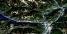
Kaslo Satellite Image Map
Download Free Aerial Photo 082F15 at 1:50,000 scale
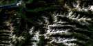
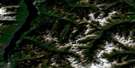
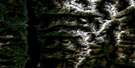
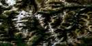
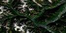
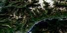
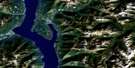
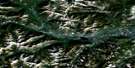
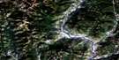
Kaslo Satellite Imagery
To view this satellite map, mouse over the air photo on the right.
You can also download this satellite image map for free:
082F15 Kaslo high-resolution satellite image map.
Maps for the Kaslo aerial map sheet 082F15 at 1:50,000 scale are also available in these versions:
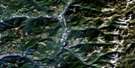
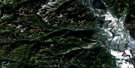
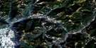
Kaslo Surrounding Area Aerial Photo Maps
 |
 |
 |
 |
 |
 |
 |
 |
 |
 |
 |
 |
 |
 |
 |
 |
© Department of Natural Resources Canada. All rights reserved.
Kaslo Gazetteer
The following places can be found on satellite image map 082F15 Kaslo:
Kaslo Satellite Image: Bays
Campbell BayGalena Bay
Kaslo Bay
Silver Bay
Kaslo Satellite Image: Beaches
Beauty BeachKaslo Satellite Image: Capes
Maynard PointVerandah Point
Woodbury Point
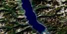
Kaslo Satellite Image: Lakes
Clute LakeFletcher Lake
Josephine Lake
Kootenay Lake
Leviathan Lake
Mirror Lake
Plaid Lake
Kaslo Satellite Image: Mountains
Armour PeakBivouac Tower
Block Tower
Blue Ridge
Bluebell Mountain
Columbia Mountains
Devil's Horn
Eagle Crest
Goat Range
Hall Peak
Kokanee Range
Leaning Towers
Mount Baldr
Mount Buchanan
Mount Gill
Mount Kaslo
Mount Loki
Powderkeg Peak
Purcell Mountains
Selkirk Mountains
Sharks Head Tower
True Blue Mountain
Wall Tower
Kaslo Satellite Image: Major municipal/district area - major agglomerations
Regional District of East KootenayKaslo Satellite Image: Conservation areas
Kootenay Lake ParkKootenay Lake Recreation Area
Purcell Wilderness Conservancy
Kaslo Satellite Image: Rivers
Bernard CreekBjerkness Creek
Calamity Creek
Campbell Creek
Cedar Creek
Clute Creek
Coppery Creek
Crystal Creek
Dewar Creek
Fletcher Creek
Gillis Creek
Goldsmith Creek
Hendryx Creek
Indian Creek
Kaslo River
Keen Creek
Kemball Creek
Kemp Creek
Lapointe Creek
Leet Creek
Lendrum Creek
Loki Creek
Milford Creek
Murphy Creek
Office Creek
Pinnacle Creek
Powder Creek
Princess Creek
Sawyer Creek
Seven Mile Creek
Shutty Creek
St. Mary River
Tam O'Shanter Creek
White Creek
Wing Creek
Woodbury Creek
Kaslo Satellite Image: Unincorporated areas
Mirror LakeRiondel
Shutty Bench
Woodberry
Zwicky
Kaslo Satellite Image: Valleys
Rose PassKaslo Satellite Image: Villages
Kaslo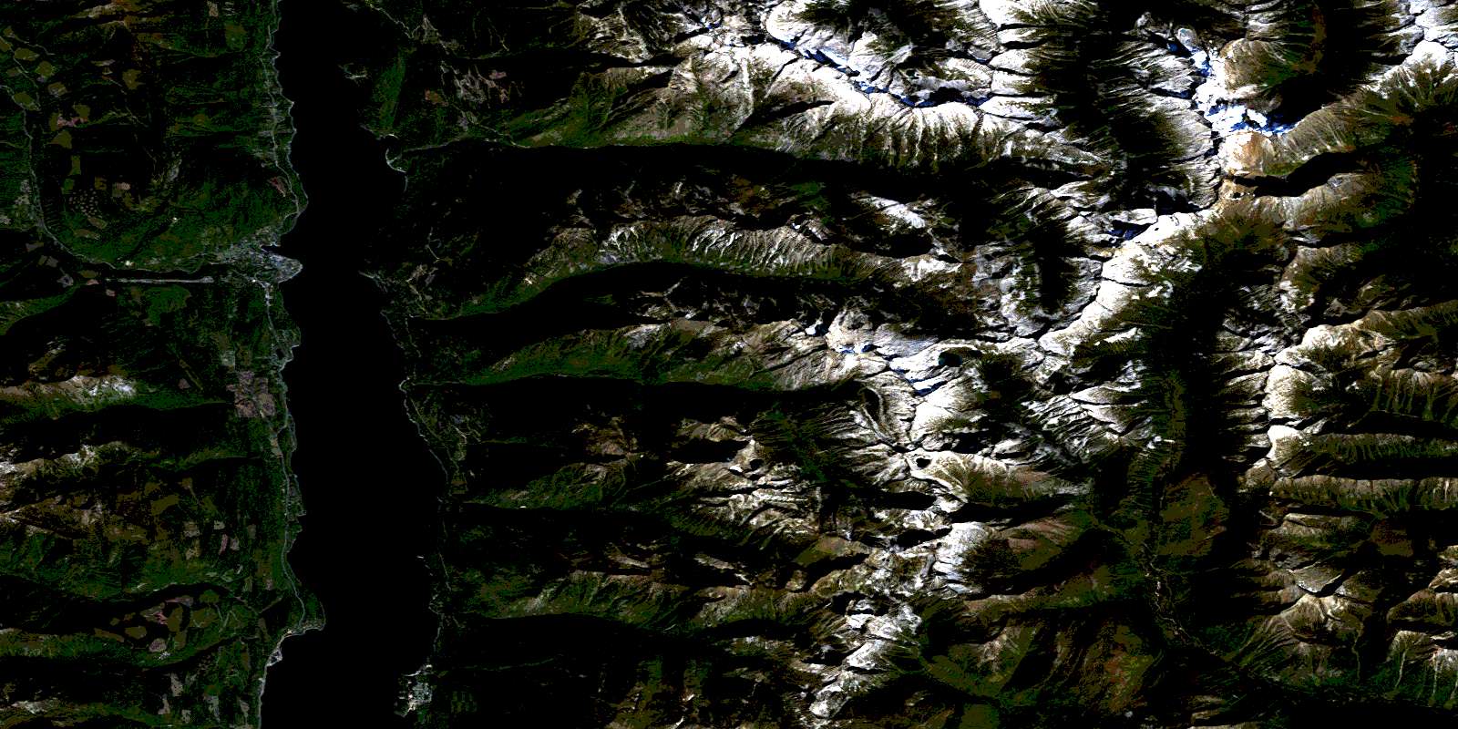
© Department of Natural Resources Canada. All rights reserved.
